Back in March I got a message from a good packrafting buddy Tim Kelley, who told me he got a permit for tromping around the North Cascades in July. Not really knowing what my July schedule was, and in the vein of planning schedules around good trip invitations I said “sure!”
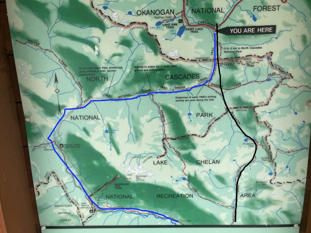
Many years ago on the way home from an early BC hut trip to Portland we stopped in the Methow Valley to do a ski tour, and I have related the tale of that ski tour as one of the worst days of skiing ever, which actually is pretty hilarious, involving bushwacking up and down through super steep terrain, on leather boots, long skinny skis, and in absolutely terrible new and wet snow. One aspect of it was that we met a few doods who had this weird lockable “alpine touring” gear and veritably danced away from us as we flailed our way down. The lesson of AT gear stuck with me (but it took too long to actually manifest), as did their tales of two rivers nearby that were hike-to wilderness runs: the Lost River and Bridge Creek to the Stehekin. The Lost is a trib of the Chewuch/Methow that comes into the Methow Valley at the quaint village of Mazama, and Bridge Creek starts as a drainage between Washington Pass and Rainy Pass, the two high points of the North Cascades highway. Because it’s in the North Cascades National Park it requires a permit for overnight excursions, and fortunately Tim has enough vision to actually apply for permits for obscure adventures well before they come into form.
Bridge Creek has a lot of appeal to hardshell kayakers because of its ease of access: just hike downhill along the creek down the Pacific Crest trail to where there’s enough water to put on, which sometimes is as little as three miles, which even kayakers carrying loaded boats can do (albeit with sore shoulders!). The creek goes almost due west in a pretty continuous gradient of 150-odd feet per mile picking up water from a handful of tributaries before hitting the Stehekin, which tumbles out of the heart of the North Cascades in the vicinity of Glacier Peak and is the main feed for the remarkable Lake Chelan; a 50 mile long lake that is kinda mostly natural and stretches from craggy alpine peaks to the desert, though it does have a dam just above the Columbia river.

Paddling the Stehekin in a hardshell necessitates getting on the Chelan ferry, which runs once a day and takes 4 hours (and $43) to chug the 50 miles, then there’s a 2.5 hour car shuttle back to the hike’s start. Or…..you can just roll up your packraft and hike back! Because the river goes way west and then loops back east to the lake, it’s only a 16 mile hike back cutting the hypotenuse of the triangle (I had to look that up to make sure I was using that correctly; it’s been a long time!).
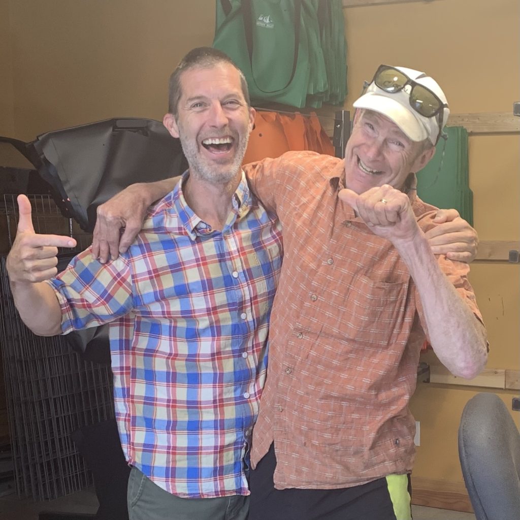
I whined a little about actually getting to the east side of the Washington Cascades, but as Ashley pointed out: “The Methow valley is always a PIA to get to, and it’ll never get less so!” which was a good point, so I rented a car and just blasted out the long drive up there through the heat of southern Idaho and eastern Washington, fortunately able to stop and spend a bit of time with old friend Jonathan Baker, purveyor of equpd bags:
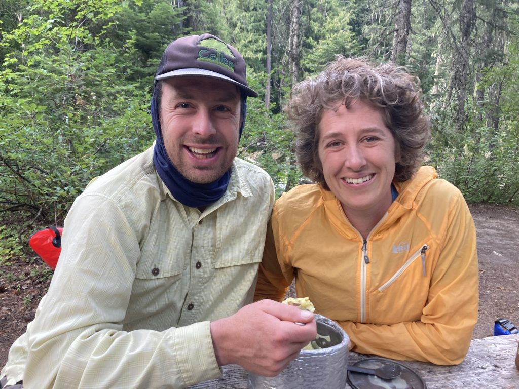
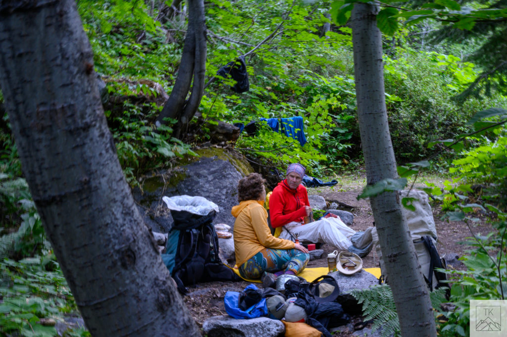
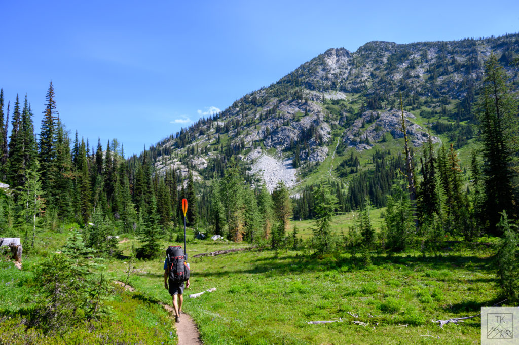
I met Tim at the trailhead and was psyched to see his hunny Amy; she is a strong paddler but was coming off an injury and couldn’t paddle, but one aspect of a pre-ordained permit is that you have to declare campsites in advance and the trail followed the river, so she was able to hike the route that we paddled.
We had a leisurely hike down to where our designated camp at the South Fork of Bridge creek, and were a little disappointed at the amount of water we saw; despite a decent winter snowpack in that part of the world the heat of the early summer melted it off quickly, and the water was low (about 1000 cfs on the gauge; the annual mean is about 2000 cfs).
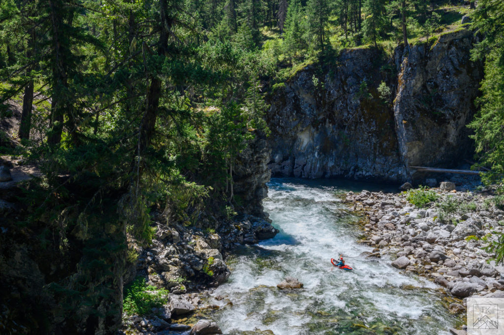
Despite that, we hiked down only a little bit more and went ahead and put on, and had a couple of hours of scratching our way down to where we knew the North Fork would supply some water:


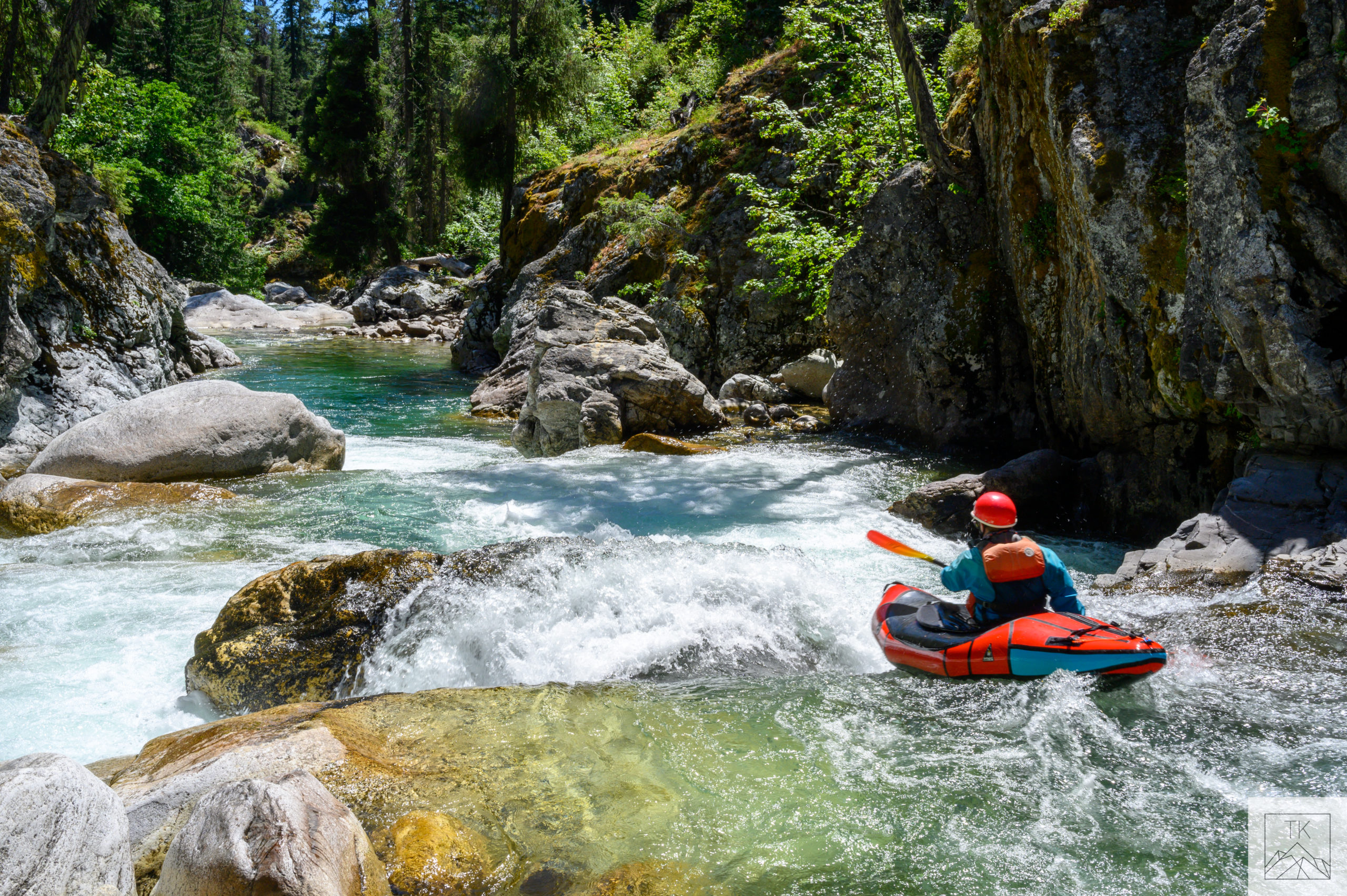
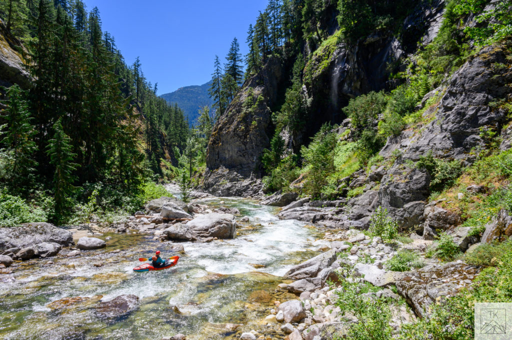
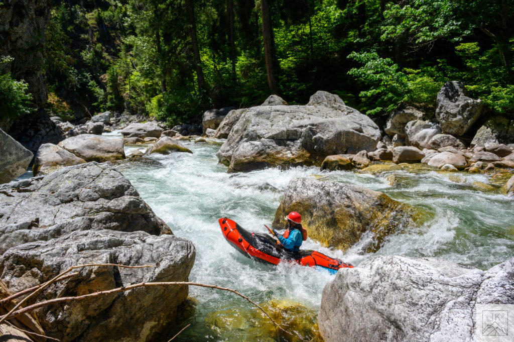
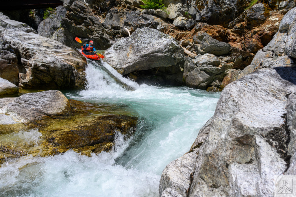
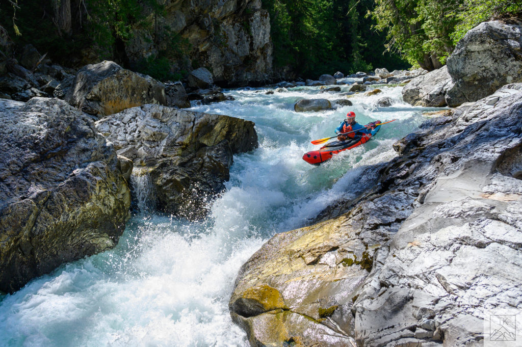
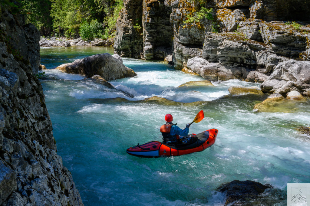
And sure enough we got a little more that enabled us to not abuse the boats as much and have some nice paddling in pretty continuous-gradient class 3/4 in a beautiful setting:
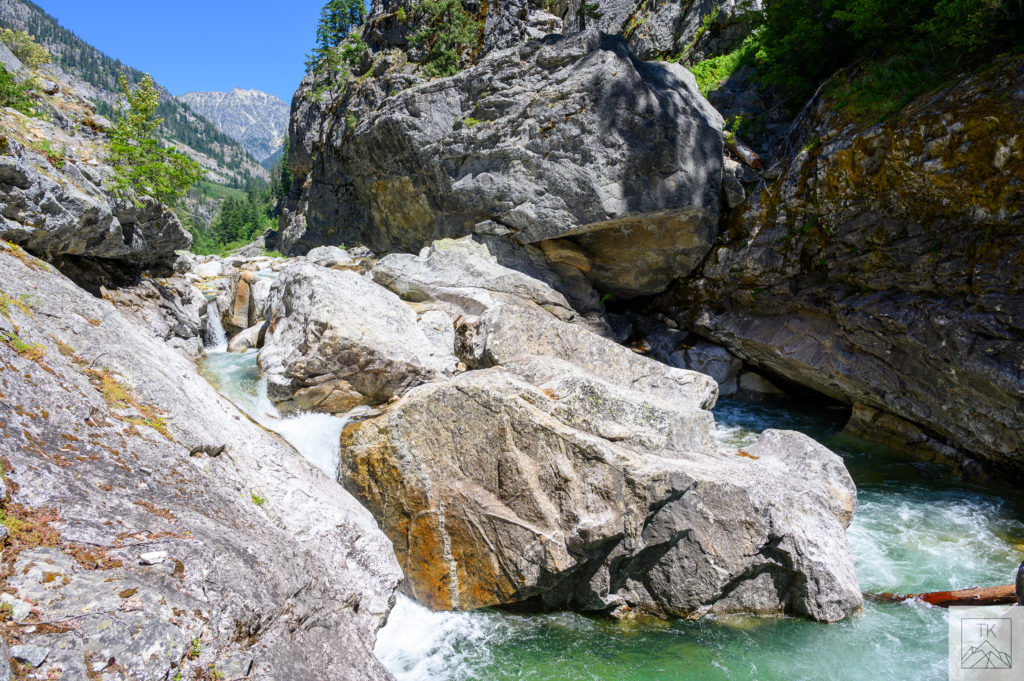
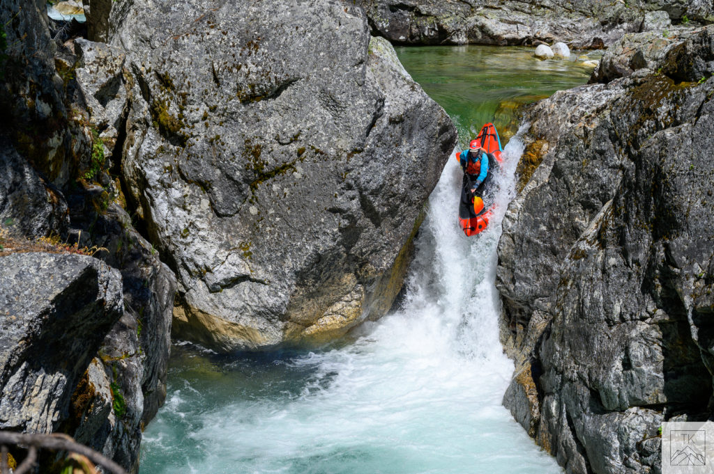
Just above the Stehekin confluence there’s a huge rock that splits the river and creates two distinctly different drops:
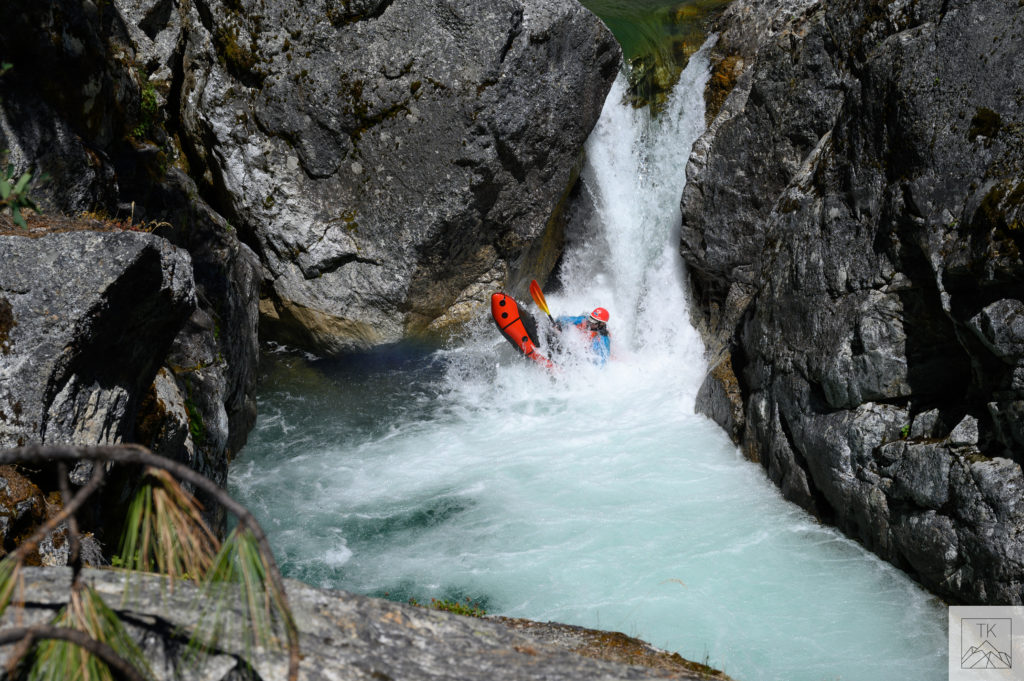
and once on the Stehekin – that supplied a good amount of water – the rapids picked up a bit: but all went well and we met Amy at our next campsite at the entrance of Tumwater Canyon.
Not to be confused with class 4/5 roadside Tumwater Canyon on the Wenatchee a few hours south, the Stehekin version is much more intimate in a vertical walled gorge and is also quite stout, even as it’s quite short at 3/4 of a mile long. An evening stroll along the rim of the gorge indicated to me that it might just go at our low water level, but evening strolls and morning mount ups are two different things, so we elected to do the easy walk around it rather than possibly take our licks. Tim had just bought a new Alpacka Valkyrie and was paddling it well, but he hadn’t had enough time in it to know that he had a dependable roll in it, and as a NOLS instructor who is paid to perpetually evaluate and manage risk, firing down a committing class 5 gorge without a roll was probably a bit of an aberration, and his NOLS bosses would probably be pissed at him if he drowned because he didn’t accurately account for the risk!
But at the bottom of Tumwater we were able to run the last class 4 drop:
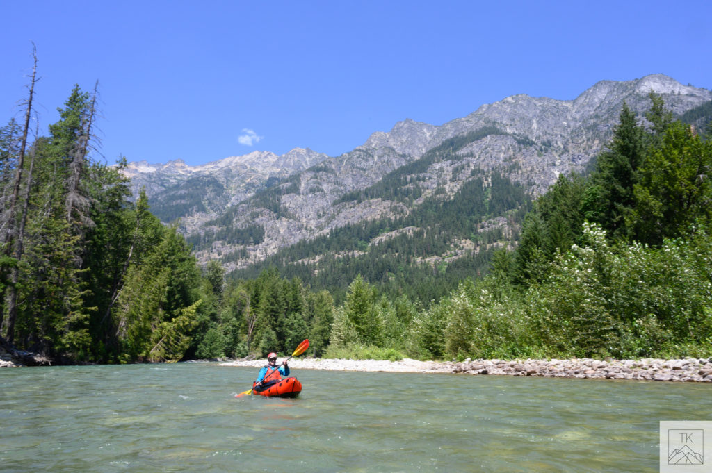
and then paddle out for a couple of hours of nice flatwater.
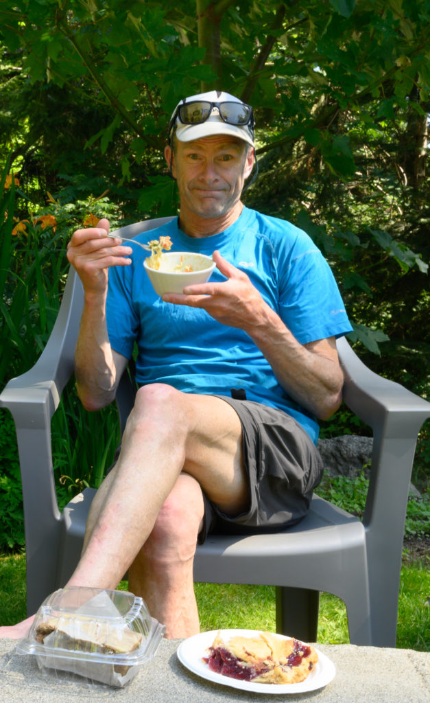
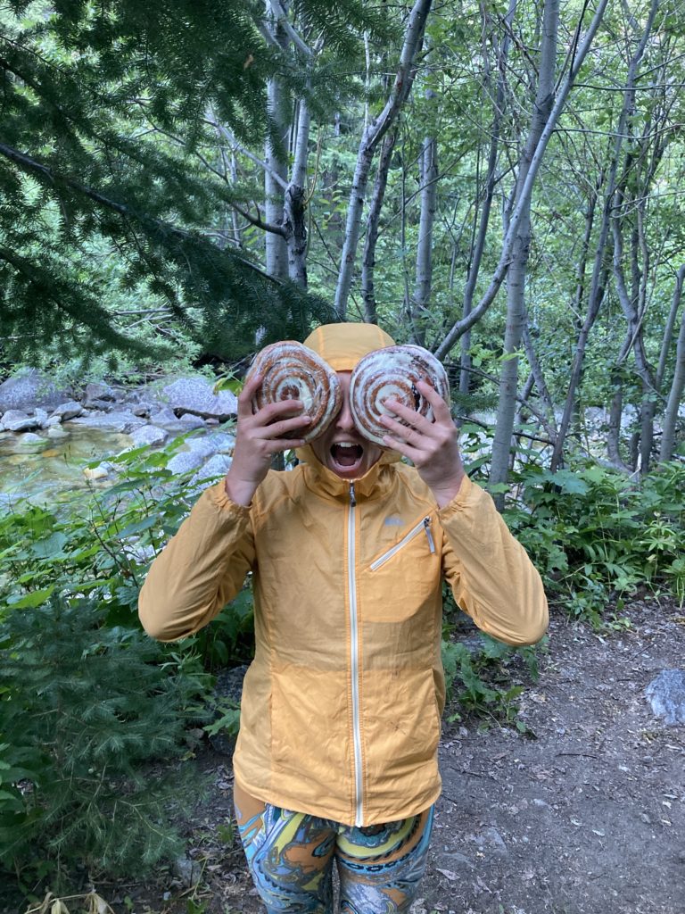
We had heard that the little village of Stehekin – again, only accessible by the Chelan ferry, romantically named “the Lady of the Lake” – had a nice bakery, and as it turns out, it was pretty much right where we wanted to take out to start our hike.
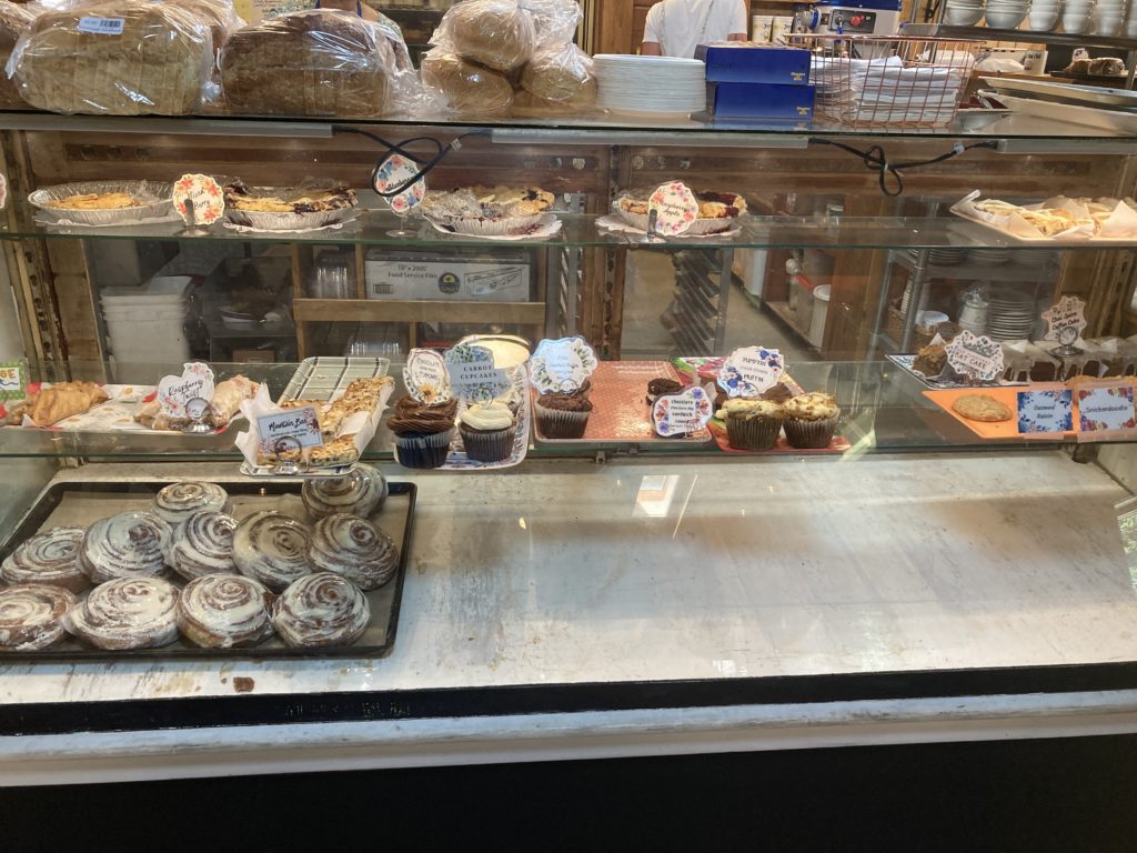
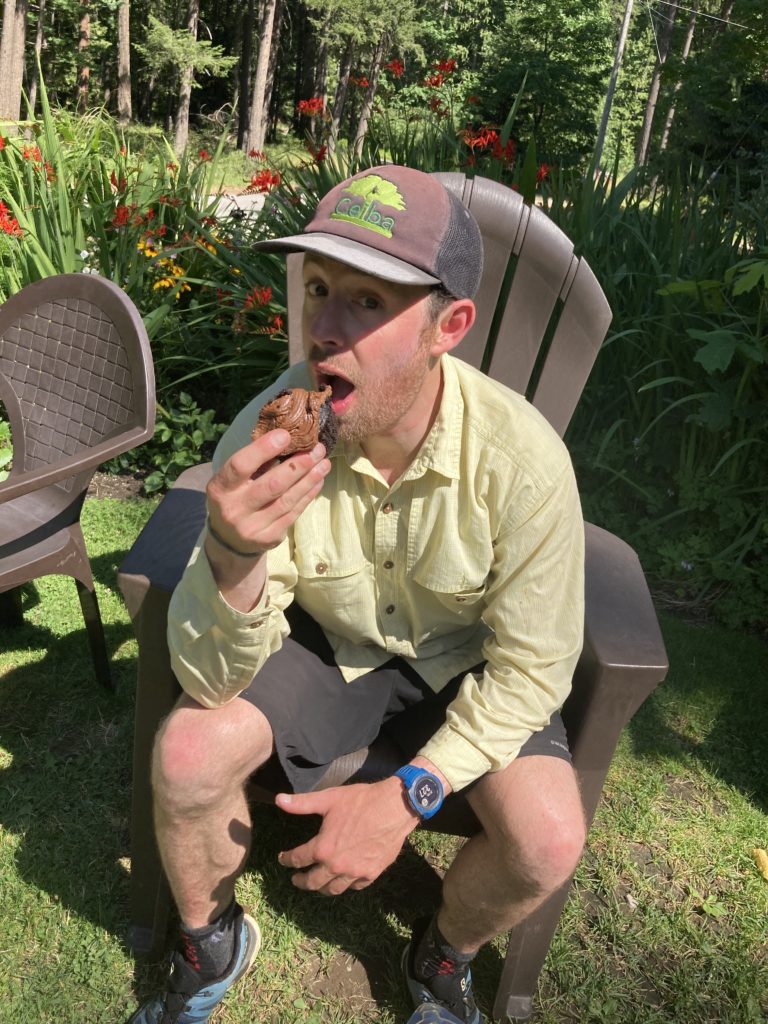
When I become king of the world, I shall decree that all river takeouts shall have a bakery at them!

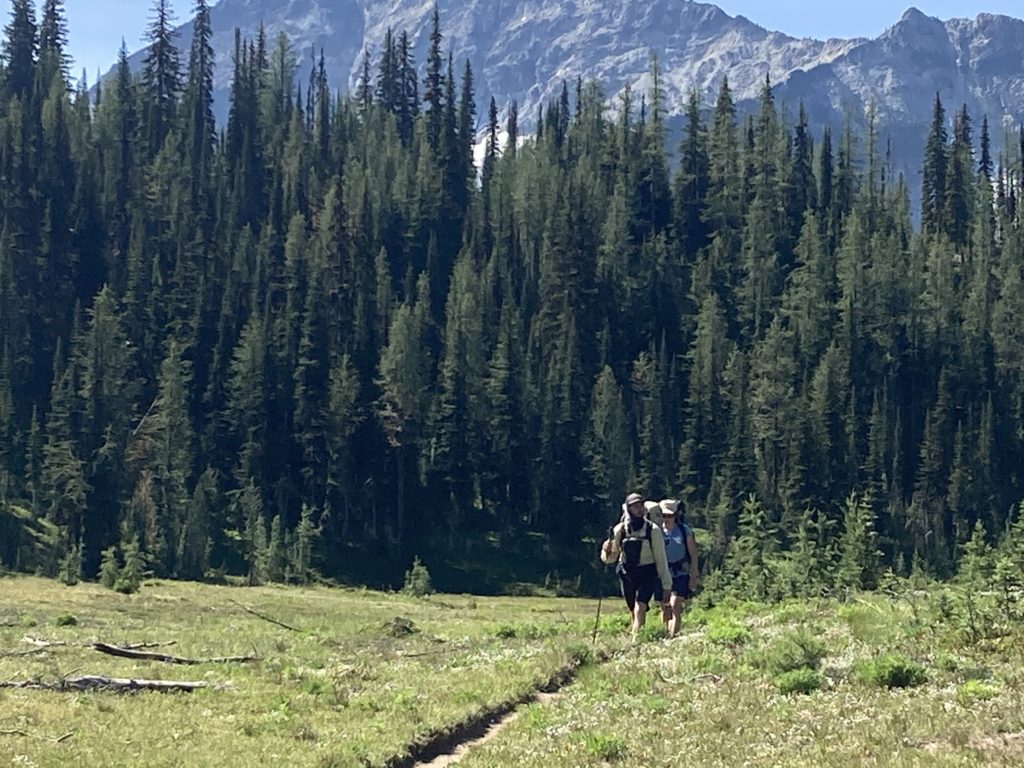
After lounging and eating too long at the bakery we finally donned the packs again and headed back into the mountains. We met Amy at our last camp a few miles and a few thousand feet up:
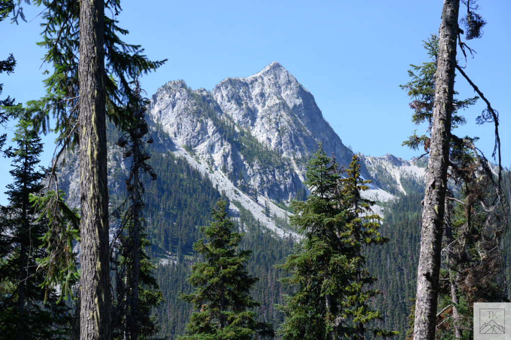
The next morning we busted out our last dozen miles over a pass, back down to Bridge Creek, and back up the coupla miles to the trailhead.
Thanks again to Tim for having the vision to get the permit and invite me along, and to Amy for being willing to hike instead of paddle and provide plenty of campsite entertainment.