Okay, it’s been a bit longer than I anticipated to wrap up this scintillating tale, but wow…..it’s been snowing in the Wasatch! So between skiing and reconnecting with friends we practically haven’t seen since the end of last winter I haven’t taken the time to write.
For reference, here is an image of the AZT in its entirety:
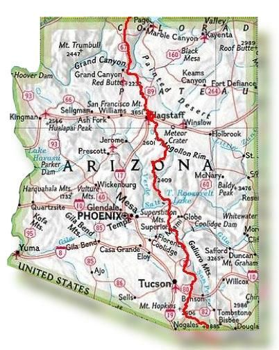
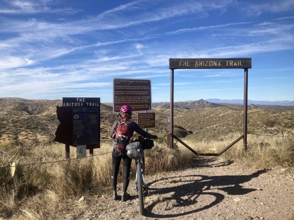
The whole trail is just shy of 800 miles – and includes a hike across the Grand Canyon -and we elected to do the very reasonable first third that goes from the Mexico border to Superior, which you can see above to the east of Phoenix.
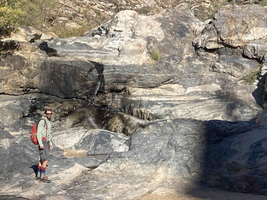
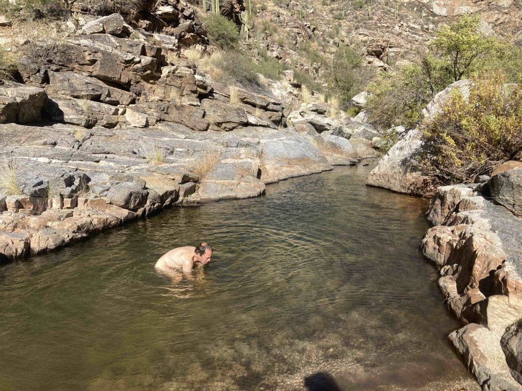
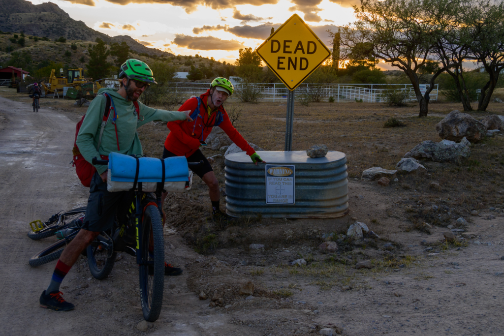
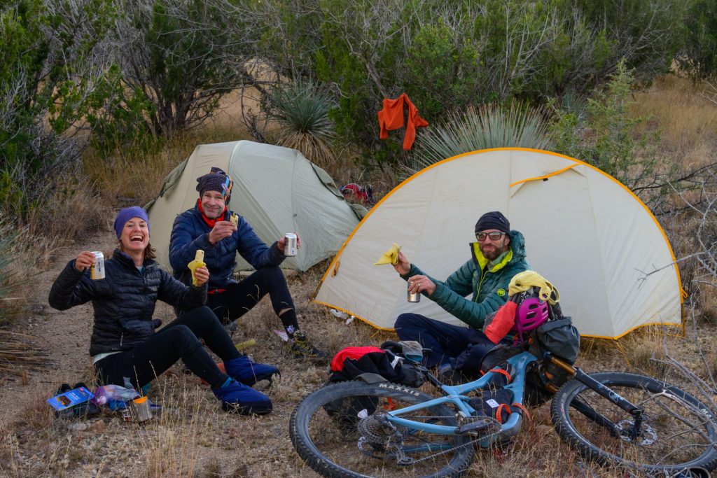
To refresh, we had last rolled into Magic Camp, where some lovely “Trail Angels” had set up a great place to make AZT hikers (mostly) and cyclists feel supremely welcome in an otherwise dry, hospitable desert. Leaving Magic Camp put us into a zone of hours of buffed, zippy singletrack that was a welcome break from the slower, more technical trails that we had done up to that point, and actually included a bit of highway that wasn’t too bad (and had a great cafe) that was a diversion around another wilderness area. We proceeded to climb back into the mountains and found a nice little hike into Tanque Verde Falls:
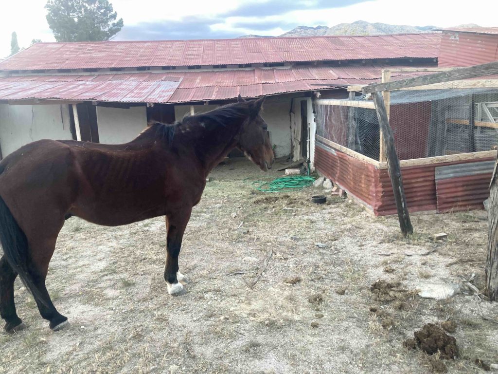
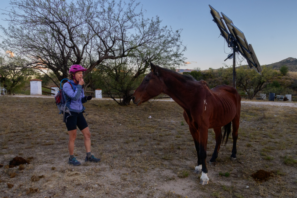
and as the day was waning we found ourselves on a ridge gamely trying to find a lake that was identified on our map and we were counting on for water, and were veering a bit off the trail onto a dirt double track to find it when we bumped into a nice ranch truck bouncing up the road driving by the local ranch foreman Jesus and his family. He flagged us down and we braced ourselves for the inevitable “this is private land!” lecture he surprised us by saying “Lake? There’s no lake! Just ignore all those threatening-sounding signs and go into the ranch and help yourself to water from the barn spigot and there’s great camping just beyond the ranch!” Once again, AZT Trail Angels showed their hospitality.
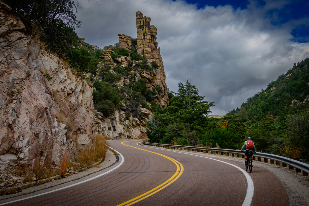
We anticipated the next mild challenge to be the 18 mile road climb up to iconic Mount Lemmon, the summer haven for Tuscon-onians (where the actual town “Summerhaven” lies). But before the little road climb, we had the biggest hike-a-bike of the trip:
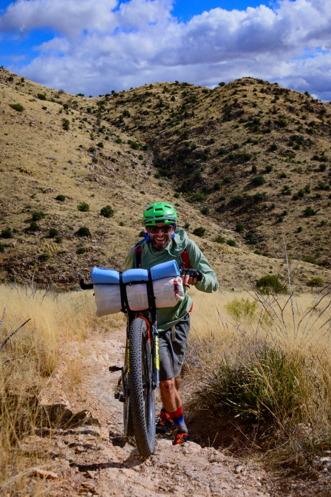
I decided to carry my bike:
While some purists may sniff at a “great” road climb on a “bikepack” trip, the Mt Lemmon highway is about as good a road climb as they come.
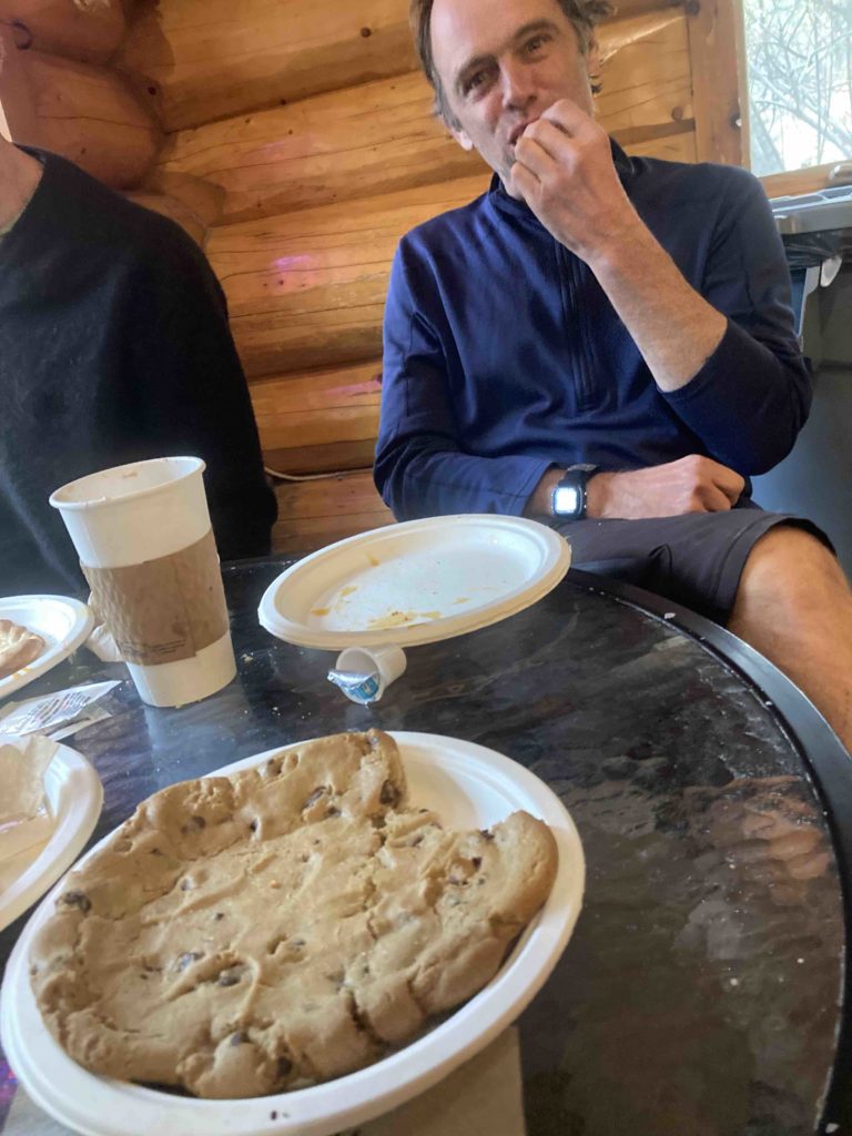
We topped out in Summerhaven in the late afternoon where it was actually a bit cooler than nice n cool, we were a bit taxed from the long climb, and needed some warmth and sustenance. As we rolled into town we saw that the general store was closed and what appeared to be the lone restaurant was closed, but a woman hollered at us and said “there’s a pizza and cookie place just down the hill!” Pizza and cookies? We were so in….
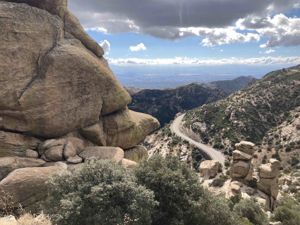
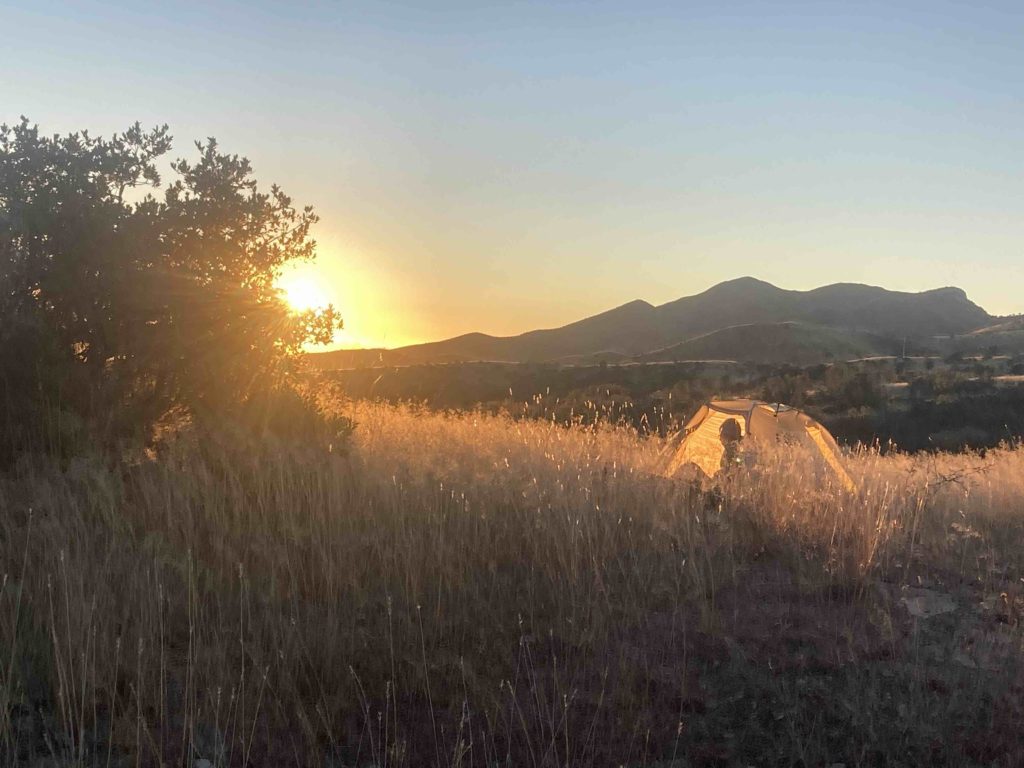
At the Magic Camp we’d met some through hikers who had apparently pig piled in the lobby of the micro post office in Summerhaven to ward off the nighttime temps in the teens, but on bikes we had the ability to burn off miles and vert quickly, so down the backside “Control Road”
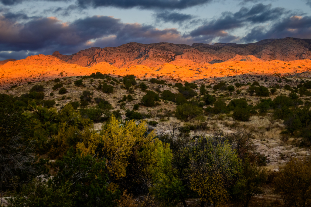
we raged down a few thousand feet to more reasonable camping temps and a beautiful site that got morning sun:
A few miles of rolling road and trail brought us to the quaint little town of Oracle, where there was a great little cafe/store that specialized in pies and other goodies
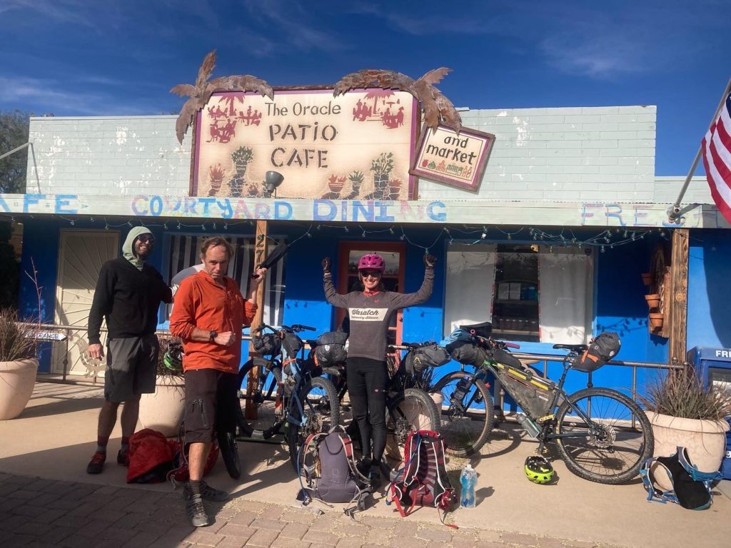
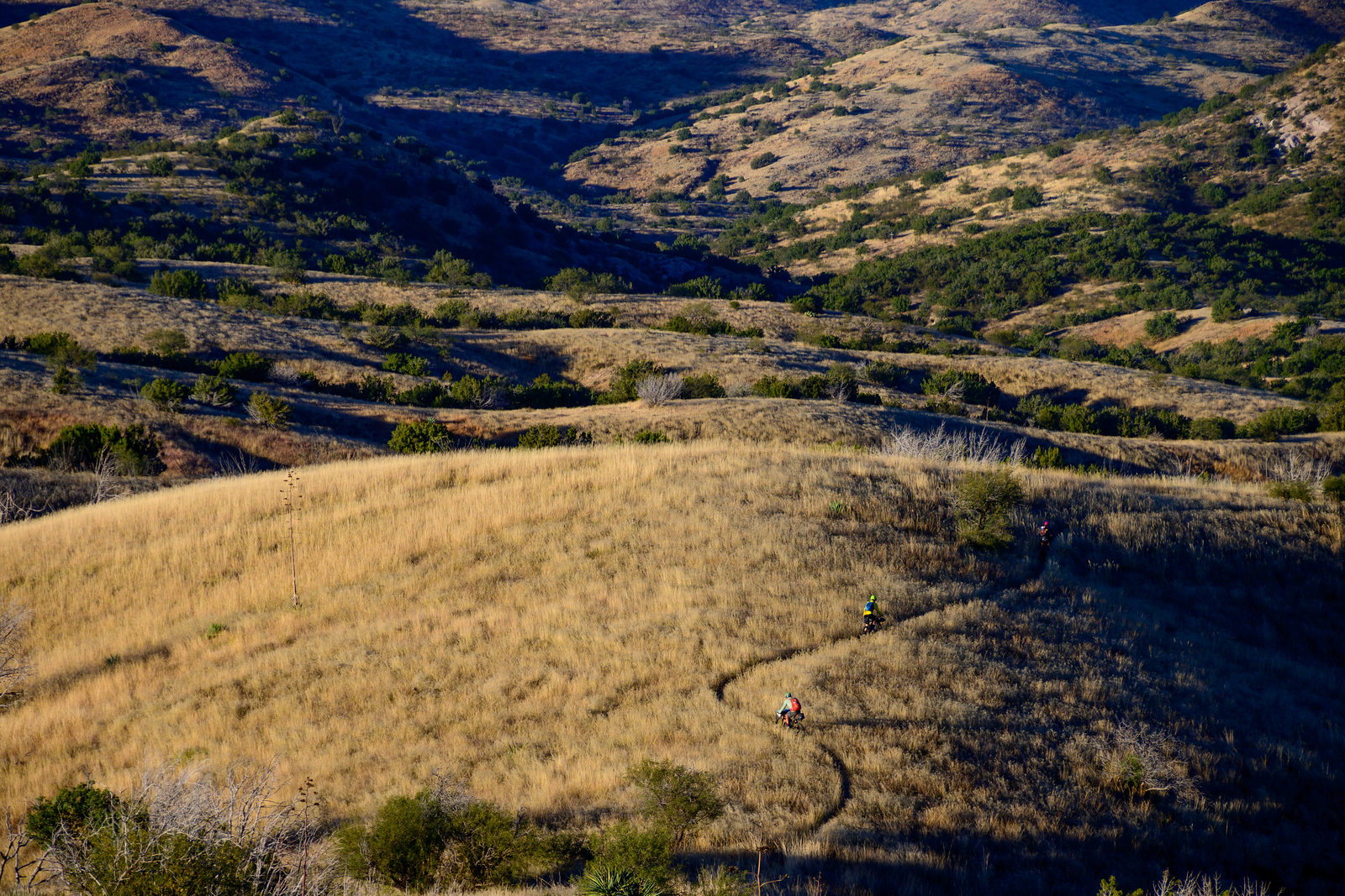
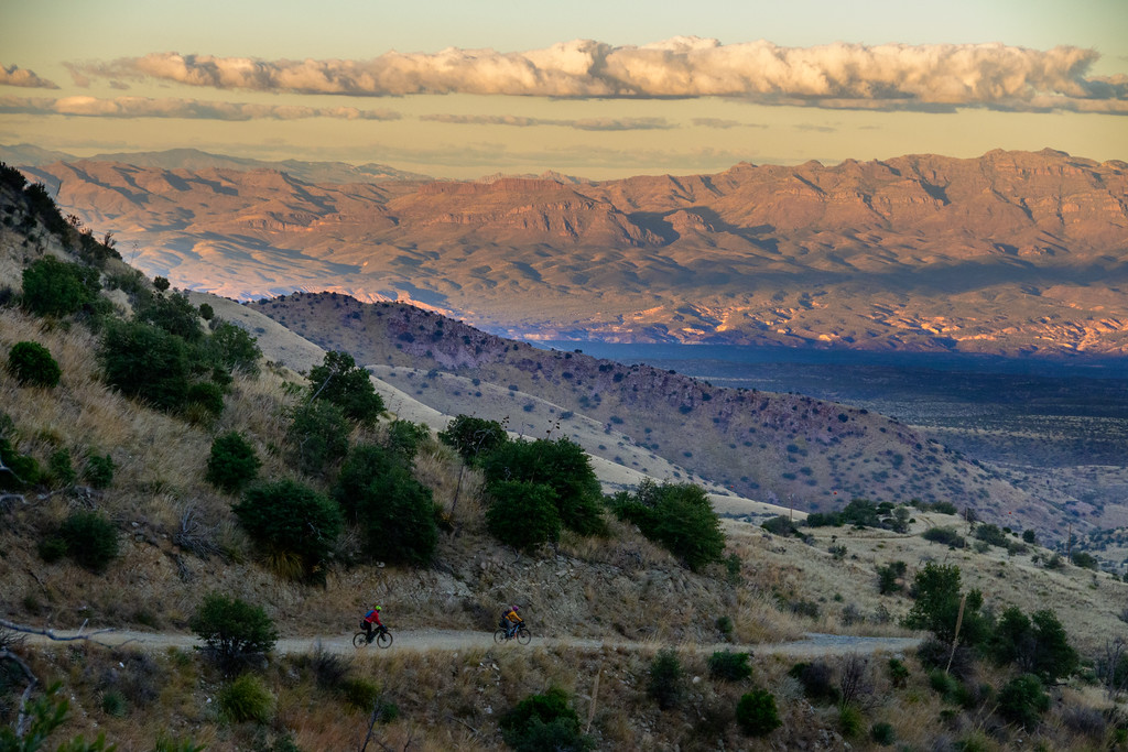
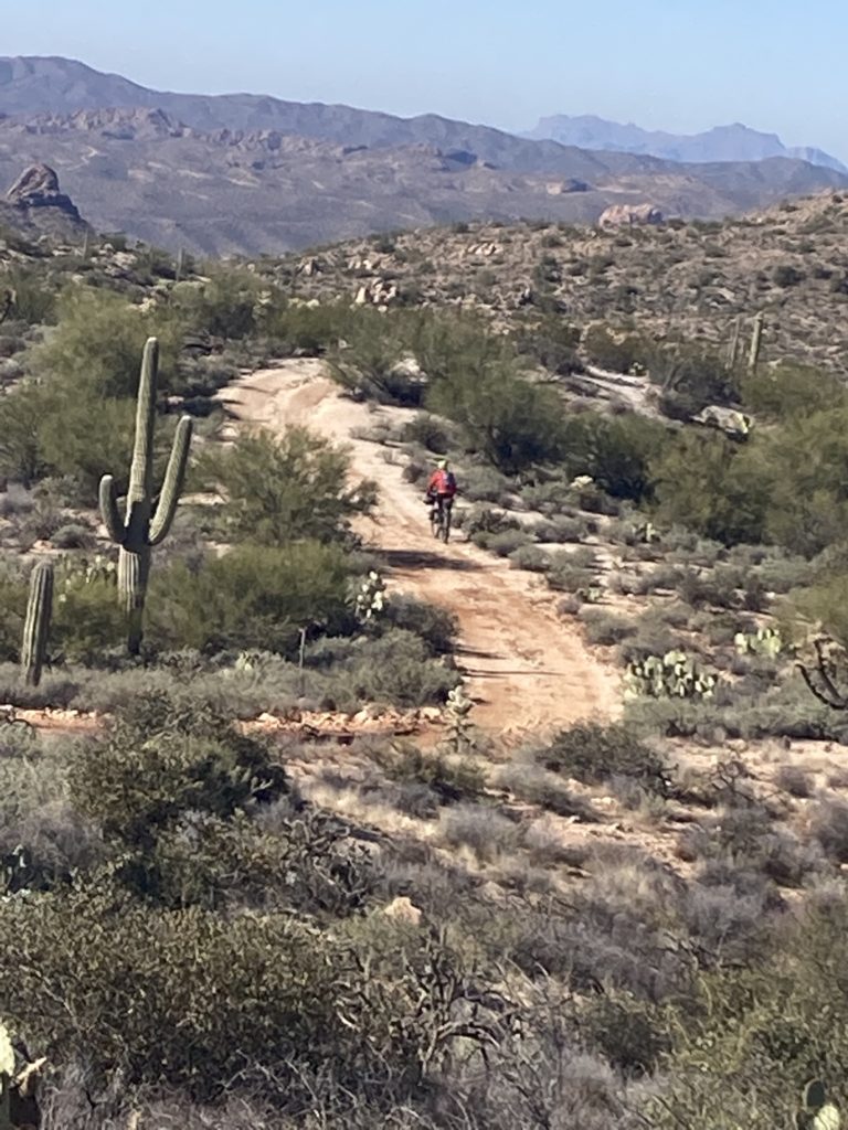
Oracle was the turnabout point for Dave and Benj; they had a day’s worth of road riding to return back to Tucson, while we continued north on the trail, which we again were amazed at how well loved it is:
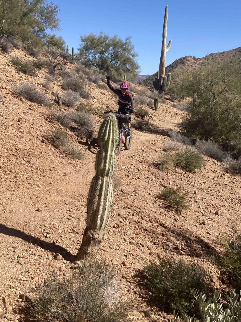
And the riding continued to be great:
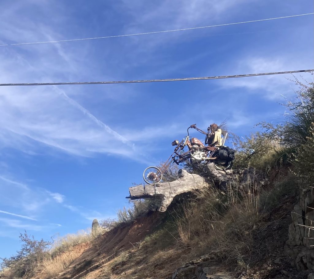
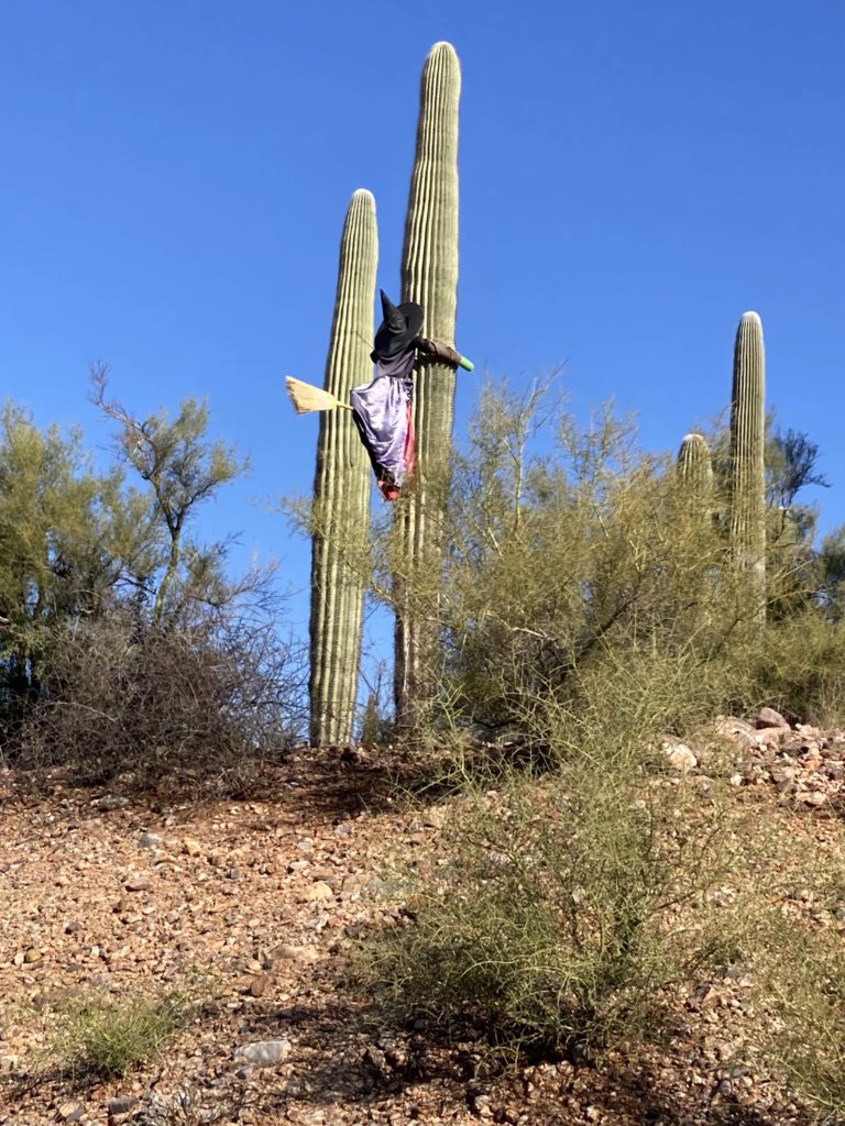
With the occasional trailside art:
Our next port of refueling was the small town of Kearny, which lies in the “Copper Strip” of small gritty towns that service the copper mines in the area. Kearny, however, is one that unabashedly recognizes the economic value of the AZT and works hard to lure hikers and cyclists the few miles off the trail to spend money in town.
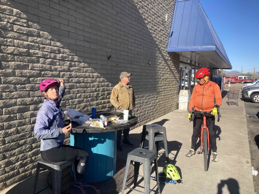
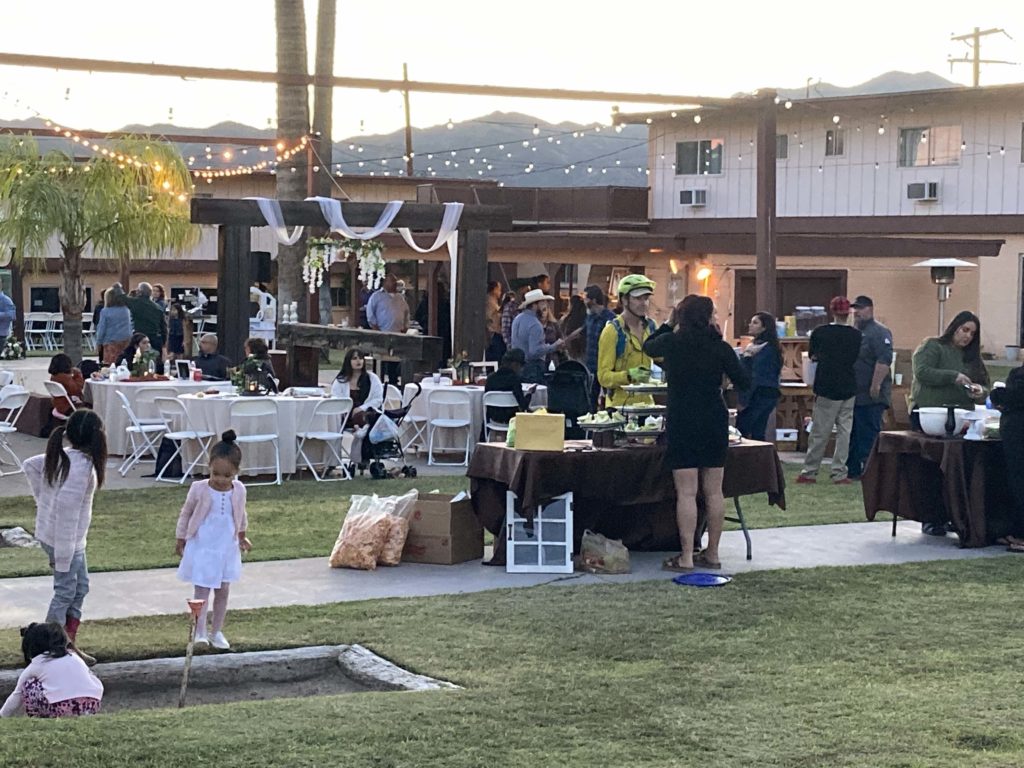
We knew that there was a hotel in town, but arriving on a weekend we saw that there was event happening. I tried to see if we could wriggle in, doing my best Wedding Crashing:
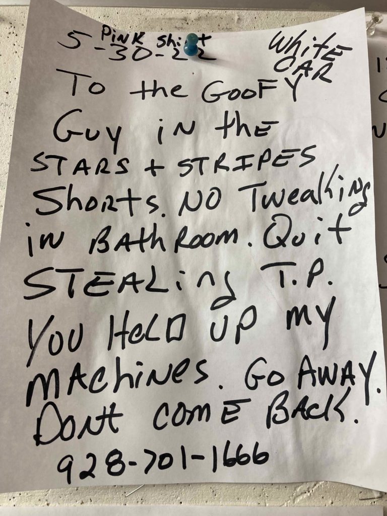
But we ended up at a fine little campsite, that clearly had its own cast of characters in this quirky town:
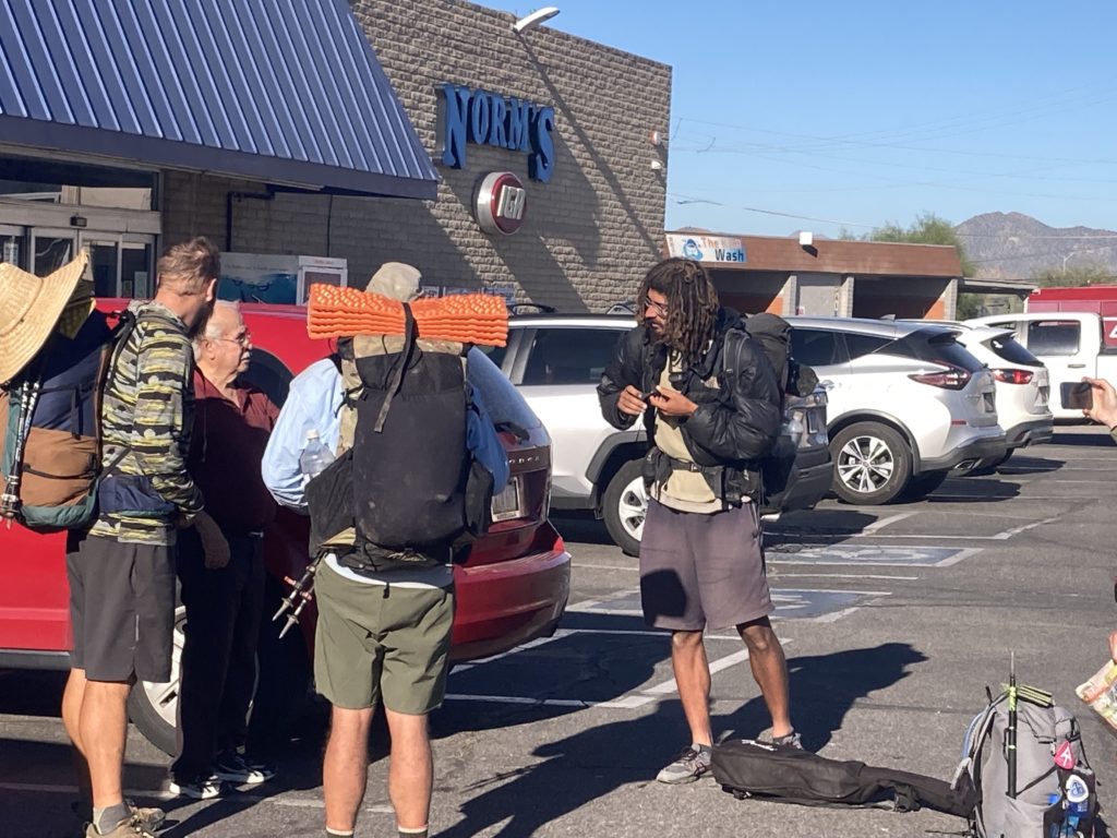
But mostly they seem to love AZT’ers – the pizza place not only has a bin of AZT give/take gear, but they deliver the 5 miles out to the trailhead! And the guy in this pic drove out to the trailhead to grab this motley crew of through hikers to bring them back to town for a “zero” (rest) day.
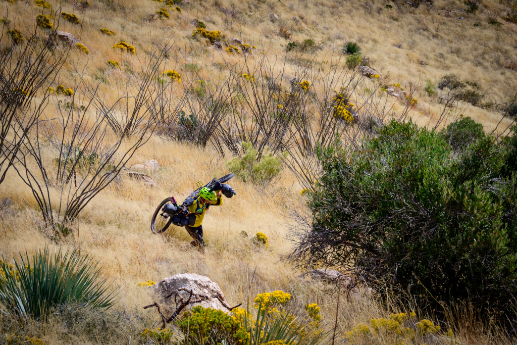
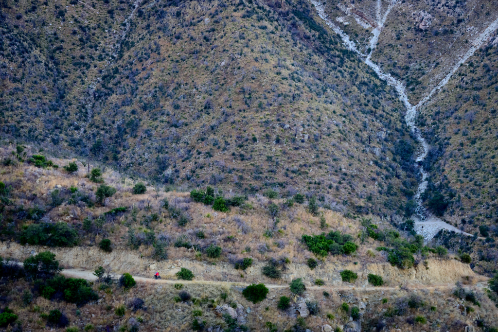
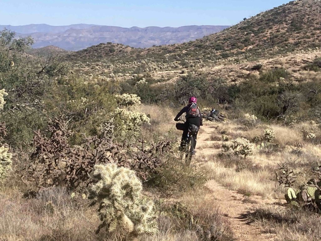
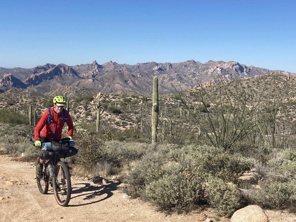
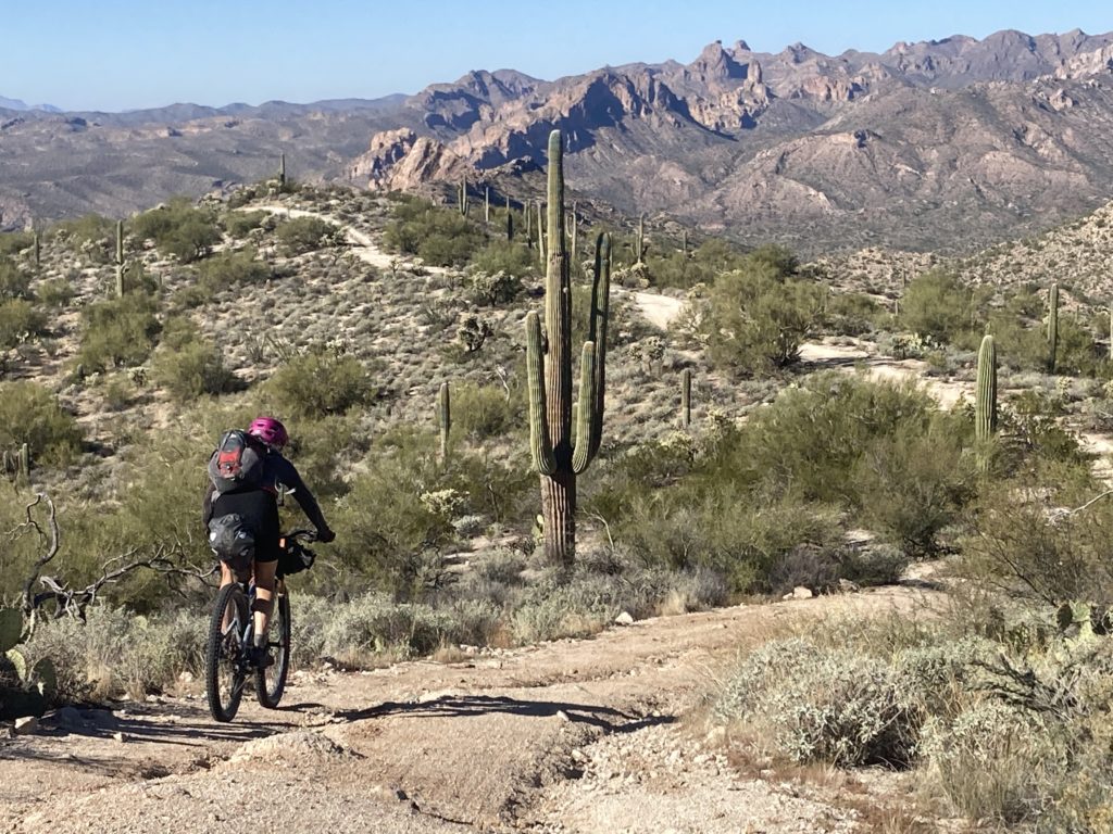
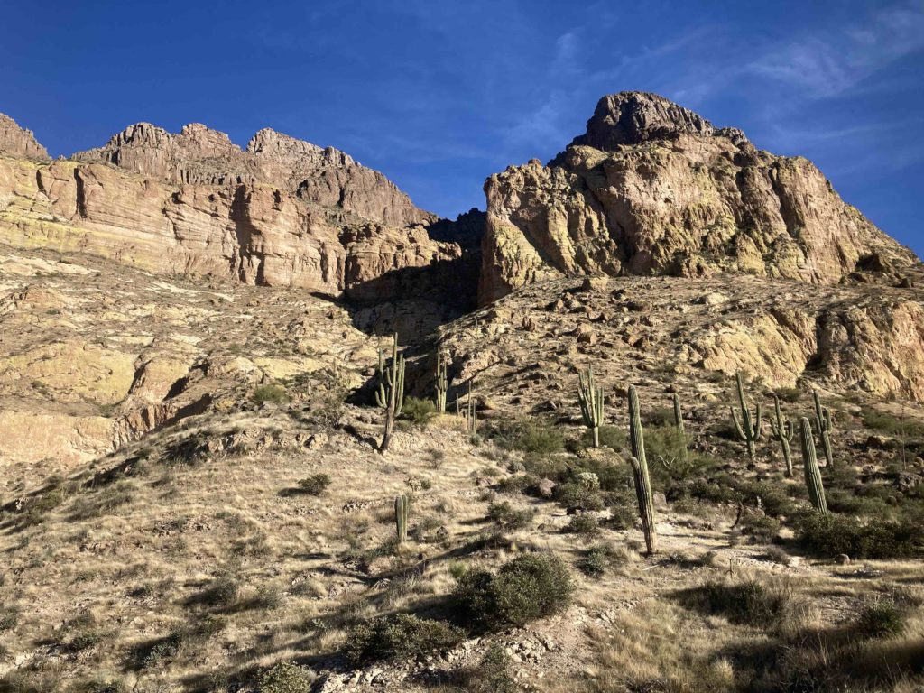
We carried on up north, doing more amazing riding:
Actually, apparently the AZT is not all that benign even for hikers; we talked to one through hiker who – a year prior – had a boulder roll onto him and broke his femur, resulting in a helicopter evac, and he was finally finishing up his hike!
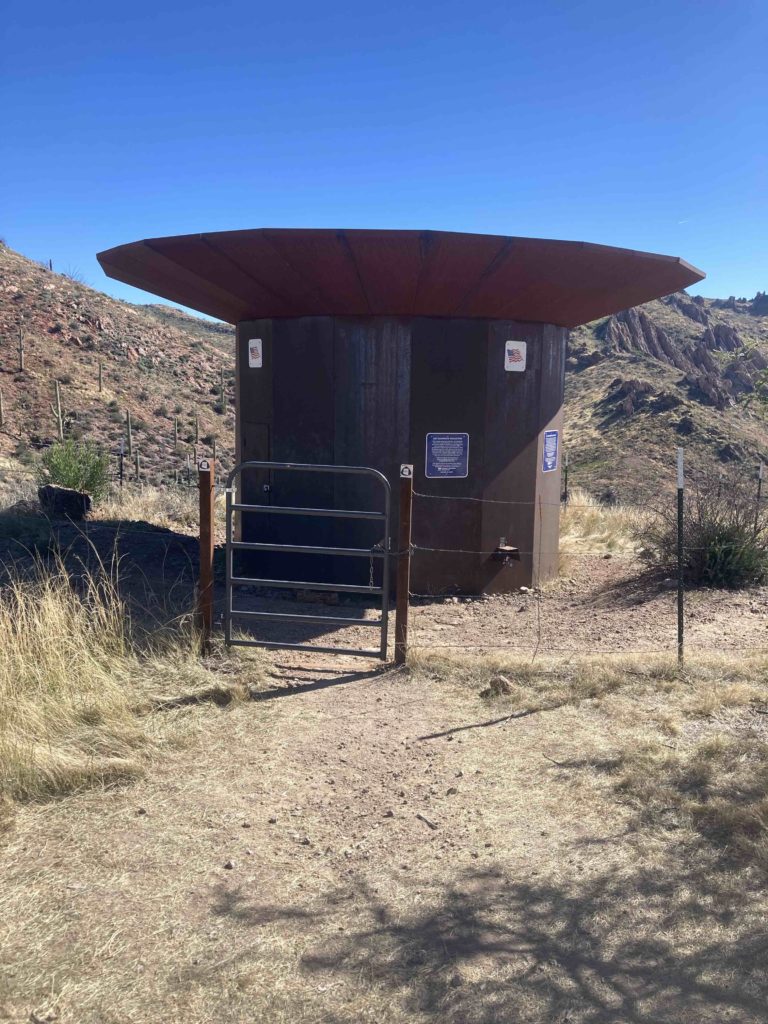
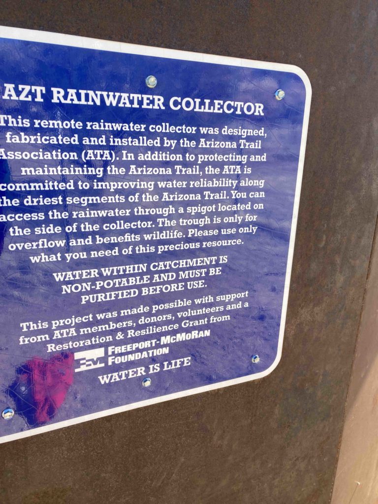
In yet another example of the value that Arizona puts into its trail, we were amazed to see this rainwater catchment cistern:
We finally finished at the Picketpost trailhead, but we too had to get back to our car in Tucson, so we jumped on a section of another John Shilling bikepack route called the Queen’s Ransom that had some stellar riding to get us back into the valley:
Once in the valley I was able to get a rideshare the 90 mins back to Tucson, and our little AZT adventure was over!
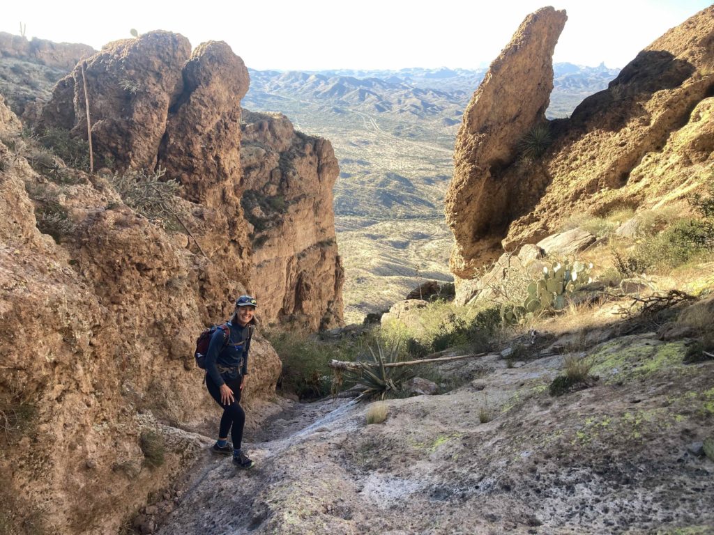
However, we took advantage of some time and fine weather to hike Picketpost Peak:
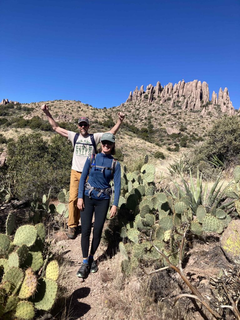
A great traverse of the Superstition mountains with our friend Chris Hanlon:
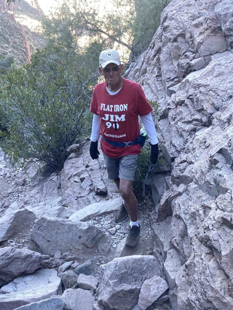
Where we met Flatiron Jim:
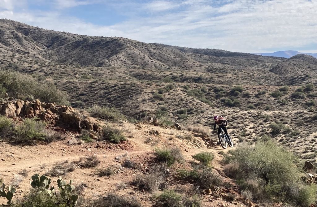
And did a fun credit card bikepack (a painful oxymoron for true bikepackers!) of the 80 mile long Black Canyon trail north of Phoenix:
Thanks again to Dave Cook and Benj Wadsworth for cooking up a great adventure and deigning to invite us, to Benj for the many awesome pics and hauling the big camera around for those (check out Benj’s site for the trip: https://www.benjwadsworth.com/Recent-Trips/Bikepacking-the-Arizona-Trail/n-fGV6Nf/ – if my little description doesn’t get you psyched, his pics most certainly will. Thanks to the many unknown folks who spearheaded and built the Arizona Trail, and to the many Trail Angels who continue to keep enhance the experience for the nutjobs who do it!
From what you relate, bike packing is the way to go there. Those through hikers impress me but I don’t think it would be nearly as much fun as you guys seem to have. Very nice to have so many caretakers of the trail (Angels). Thanks for another wondrous installment of your wanderings!
Hey Dave – You are right; we said many times while riding the singletrack and double track fairly swiftly that marching it might be a bit of drudgery. I generally have a guideline (not quite a rule) that I like to run/hike on trails/terrain I can’t ride on. That said, we did have to bypass several wilderness sections of the AZT that were no doubt really nice.
And if/when we do the whole thing, hiking a bike across the Grand Canyon sounds sub-optimal at best!