Part II of a series of posts about Bikepack adventures that we had on a recent long road trip from the Pacific Northwest to the California coast and its deserts.
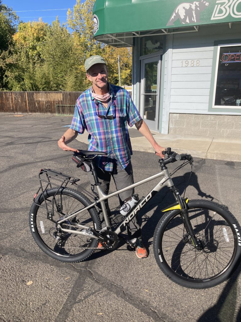
After a stellar tour of the John Day River/Ochoco Mountains area of Central Oregon, we did some great socializing in Seattle and Portland before heading to Southern Oregon to paddle the (formal) Wild and Scenic Rogue river (it was one of the originals designated as part of the 1968 act) with a couple of great Salt Lake friends who flew out with their packrafts (a great benefit of packrafts!) to join us. While we were on the river we stored our bikes in an Ashland hotel along with other gear for both safekeeping and to make room for our friends, and inexplicably we had two bikes and some gear stolen. That’s a moderately interesting story that people seemingly want to hear and I may relay later, but it’s pretty negative and I don’t feel like going there now. The very short conclusion is that Ashley “only” got her mountain bike taken and the shitheads left her advento-bike (Salsa Fargo) and I was able to pivot and buy a low-end bike that was going to work:
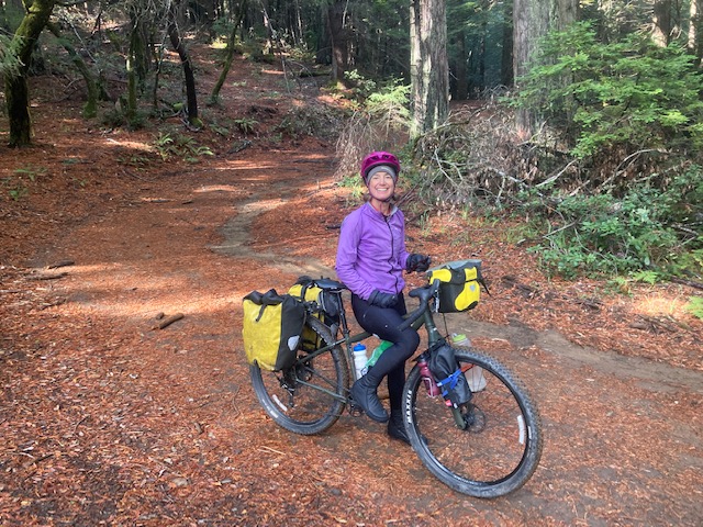
and we were once again off on another bike adventure.
I had never really heard of the Lost Coast of California until paddler Jeffrey Creamer told me about a memorable December backpack he did along the coast in a ferocious storm, made more exciting since the tide covers the trail for a significant section. The true Lost Coast trail is a 20+ coastal hiking-only trail at the foot of the 4000+ foot Kings Range, and it’s permitted via rec.gov, but of course whether it’s that site or it’s growing popularity or Covid it’s virtually impossible to get permits (I am sure that there are clever workarounds – there is for the equally-difficult Rogue River permits) but I didn’t know how to do it. But Ashley did some nosing around with maps and realized that we could ride to the trail head and trail tail of the actual trail, and in between she saw what appeared on the map to be a lot of great riding.
We started at the home of my Blue Nile friend Don Iverson in Arcata, the small town a dozen miles north of Eureka, which is a surprisingly big and vibrant town considering that the area is fairly isolated on the NorCal coast. It’s busy enough that we weren’t keen on riding the highway into/out of town, but fortunately there were nice secondary roads to get us to Ferndale, a quaint little town at the eastern base of the coast range that is apparently so quaint that it’s a big summer destination for people seeking quaintness (quaintivity?) The Eel river enters the sea between Ferndale and Eureka, and I’ve always been intrigued by the Eel since it’s an extraordinary sponge of a drainage; when we saw it it had a trickle of water, but in winter storms it regularly flashes to 70-100,000 cfs, and on New Years Day 1997 our pal Rocky paddled it at 250,000 cfs! (that’s a good story I should tell; but there are so many Rocky stories….). Coincidentally, the Eel river was brought up in Utah recently; to access the SL Trib article you need an account with them, but all you really need to know is this headline and subtitle:
Utah port authority memos reveal coal industry ties to California rail controversy
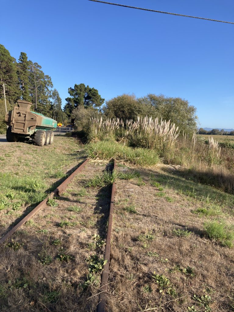
“The Utah Inland Port Authority briefly worked behind the scenes to advance a secretive proposal to rehabilitate an unused California railroad for coal.”
Basically, Utah’s leadership – frustrated by them lib’rls in CA who inexplicably don’t want cheap, dirty coal going through their ports to get to China -somehow found out about the long-abandoned rail line along the Eel that terminates at a non-port and thought perhaps they could sneak a zillion tons of coal out into the ocean that way. Who would notice? The reason the rail line was abandoned in the first place is that it was pretty much built on sand in an area that gets as much as 200 inches of rain a year…..perhaps the bold Port Authority figured they could deal with niggling details like heavy coal cars rumbling down a skitchy track in a big rain event….
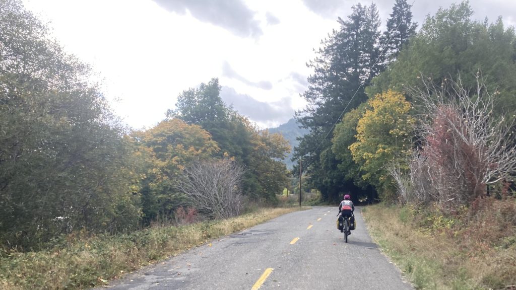
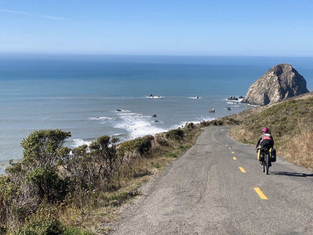
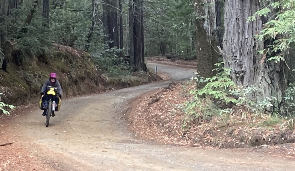
But I digress: bike tour! Out of Ferndale is a steep climb into the coastal mountains, with an equally-steep descent that splashes into the ocean, with no traffic and big views:
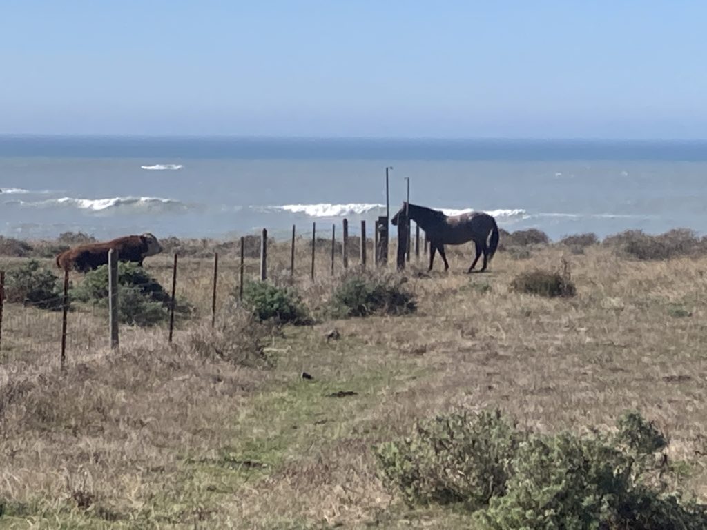
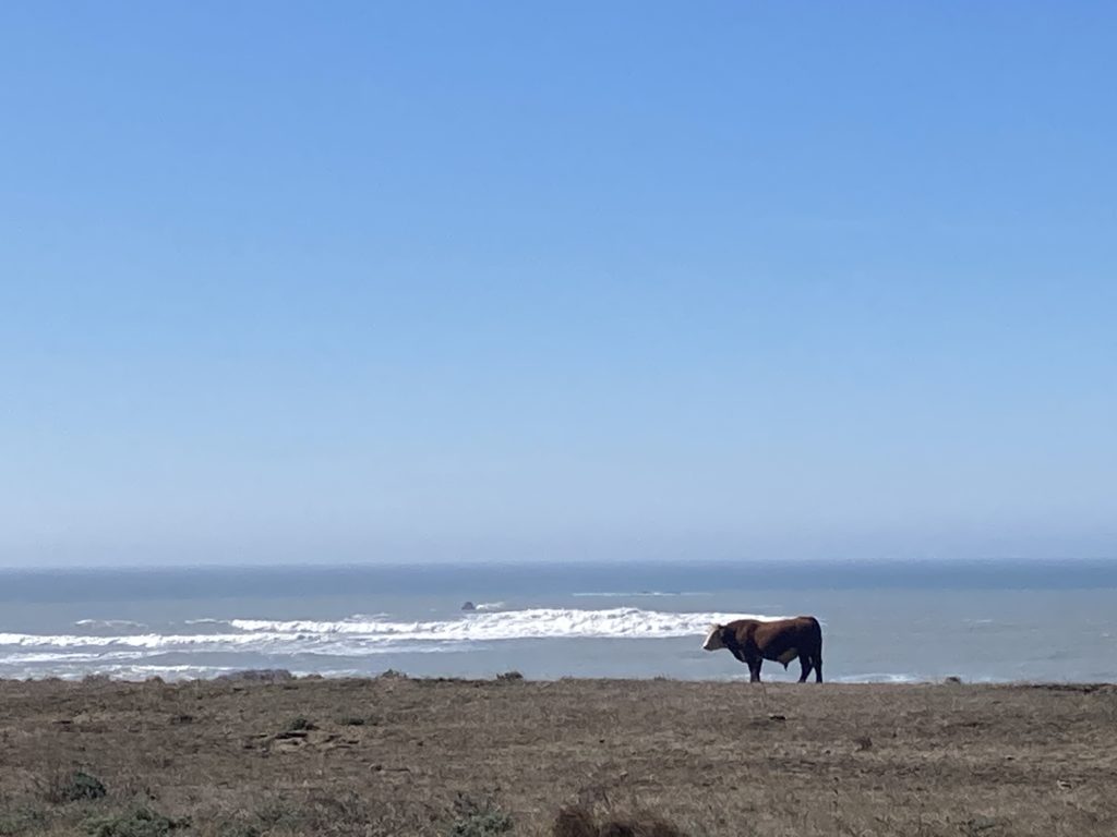
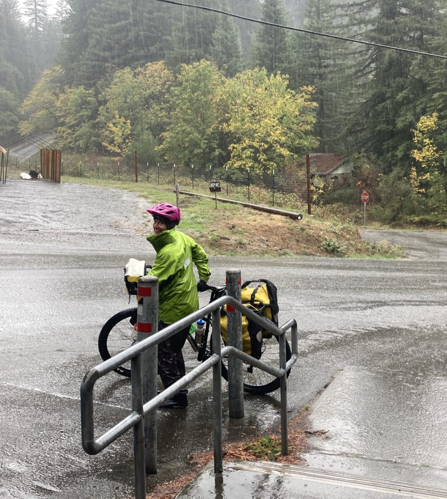
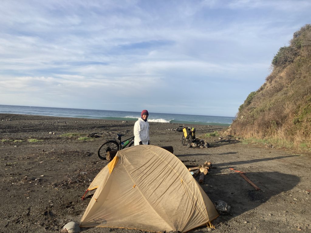
There’s a fair bit of private land out there and limited beach access due to the rugged coastline, so we camped at a BLM campground on the beach at Mattole, which is the northern trailhead for the Lost Coast Trail; in what we realized late would be an ongoing issue, it was a nice campground but had no water. So we were happy to have the ability to give up what we realized was the last site in the campground to a very nice couple who had driven all the way from LA and were car camping, and they bit on the deal I proposed: we give our site to them and move our camp a hundred yards away, with the price being a gallon of water and a few beers! A good deal for all.
We had used Ride With GPS to identify a long rolly road that traversed the top of the Kings Range, but we knew that the first (much-needed) rainstorm of the fall was progged for the next day and didn’t want to take a chance on being high and fully mudded.
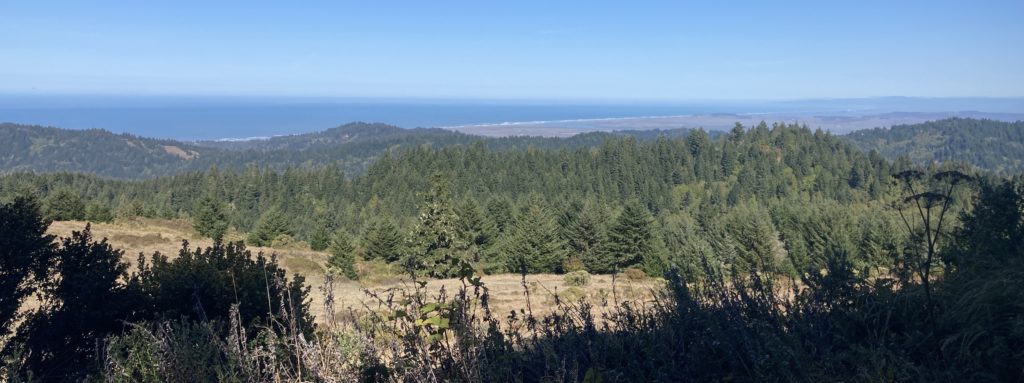
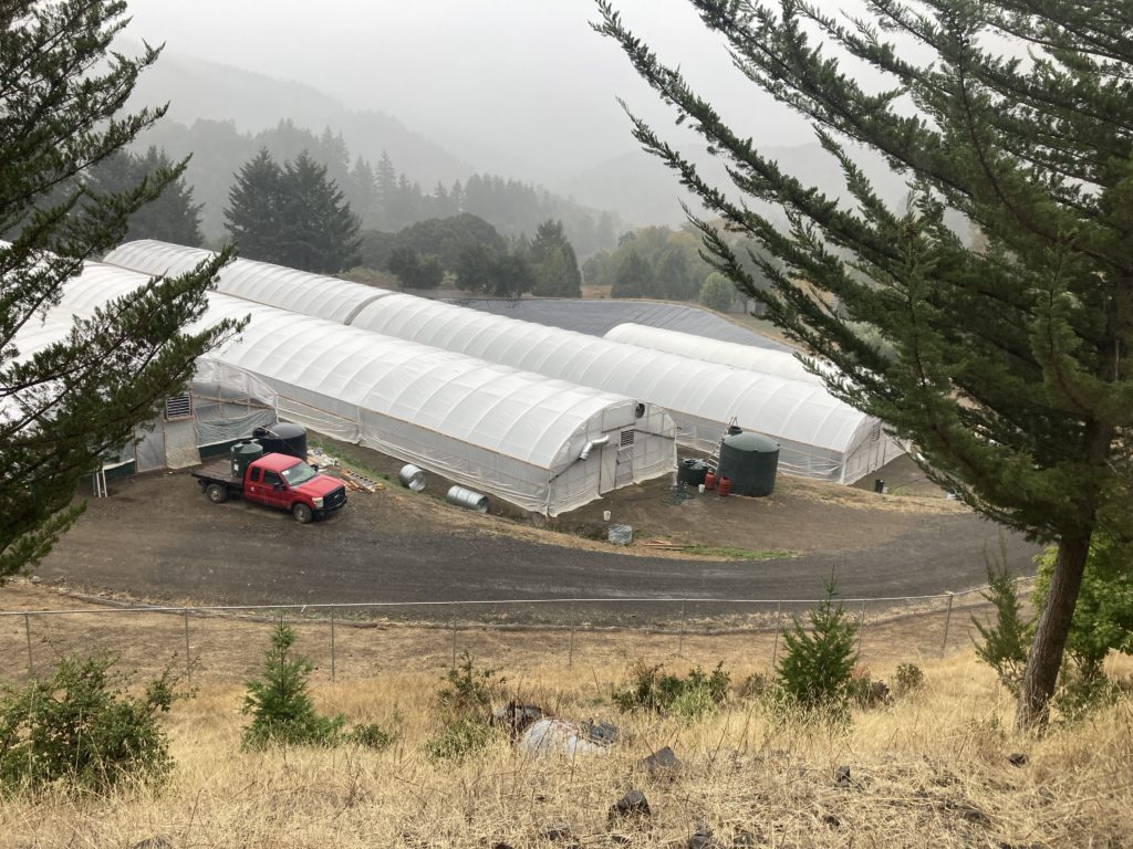
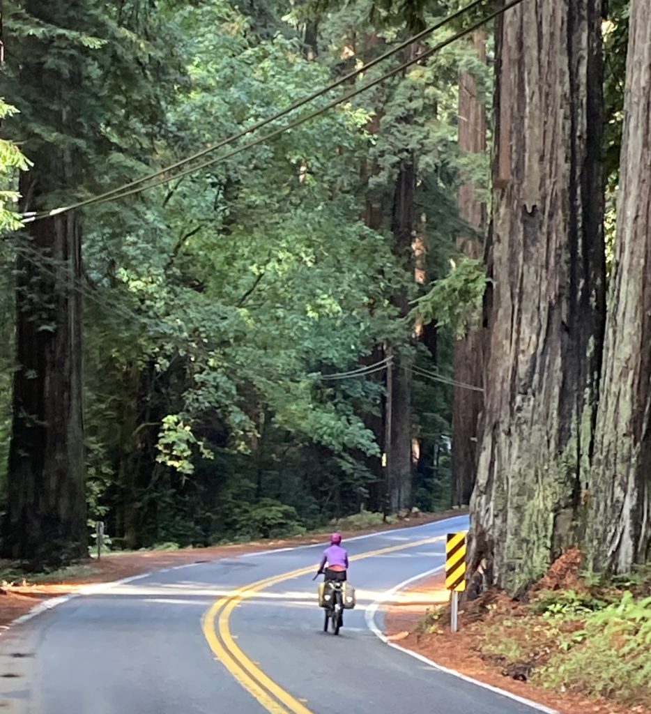
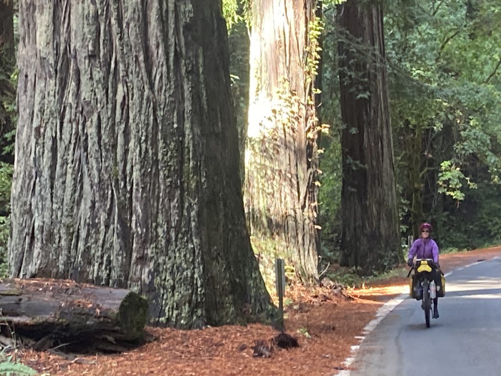
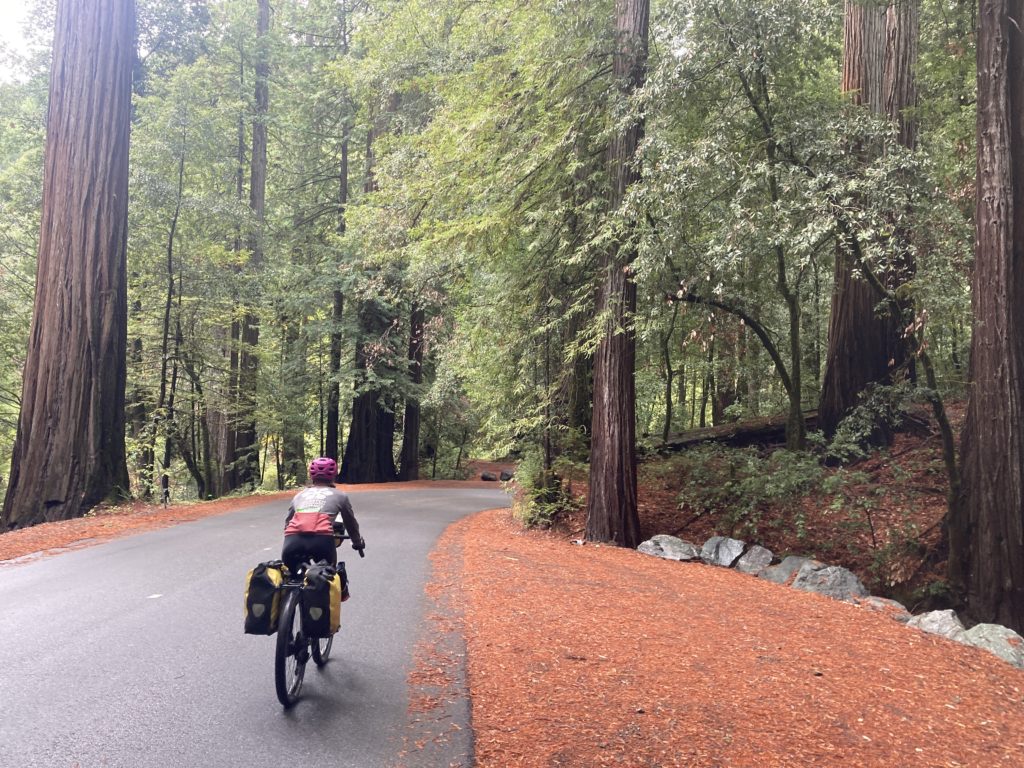
Additionally, we had driven through the Redwood forest north of Eureka/Arcata in the dark and wanted to see those impressive beasts, so we stayed on pavement back over the Kings Range and down to the valley that highway 101 uses. As we got into the lower slopes of the climb we got a great view of a large operation that has been working California’s most lucrative crop:
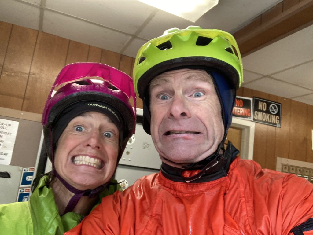
and we also started to get a bit of drizzle. However, six more miles up the climb it turned into a good old fashioned rain, and by the time we started down the 3000 foot descent, it was pouring rain, but at least the air temp was in the high 30’s. But despite being popsiclized, dropping into the Humboldt Redwoods State Park – that was nearly dark enough to need headlamps for, due to the deep canopy of the ginormous trees in addition to the melting black sky – was mesmerizing.
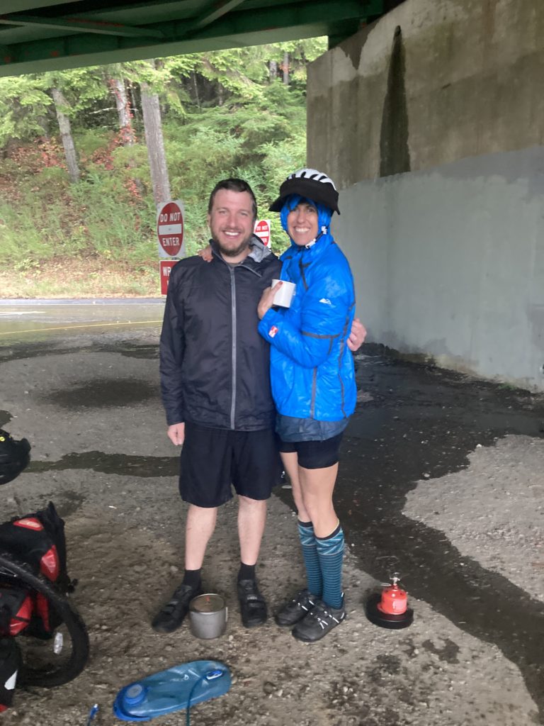
We finally found some shelter under the highway 101 overpass, where we bumped into a couple of other cyclists we’d met earlier that day, and we pretty much made their week when Ashley said: “hey, you guys want some hot chocolate?”
We pushed back out into the downpour, knowing that at least the temp had skyrocketed into the 40’s. After another dozen miles we took refuge in a micro-rural post office,
finally hit a town with a motel, but the motel had just lost power in the storm, so pushed on yet again to the next town that had a motel complete with cute little cabins and had not only power but a good restaurant across the street; the place was a bit spendy but after most of the day of riding in a washing machine they coulda charged us any amount and we’da paid it.
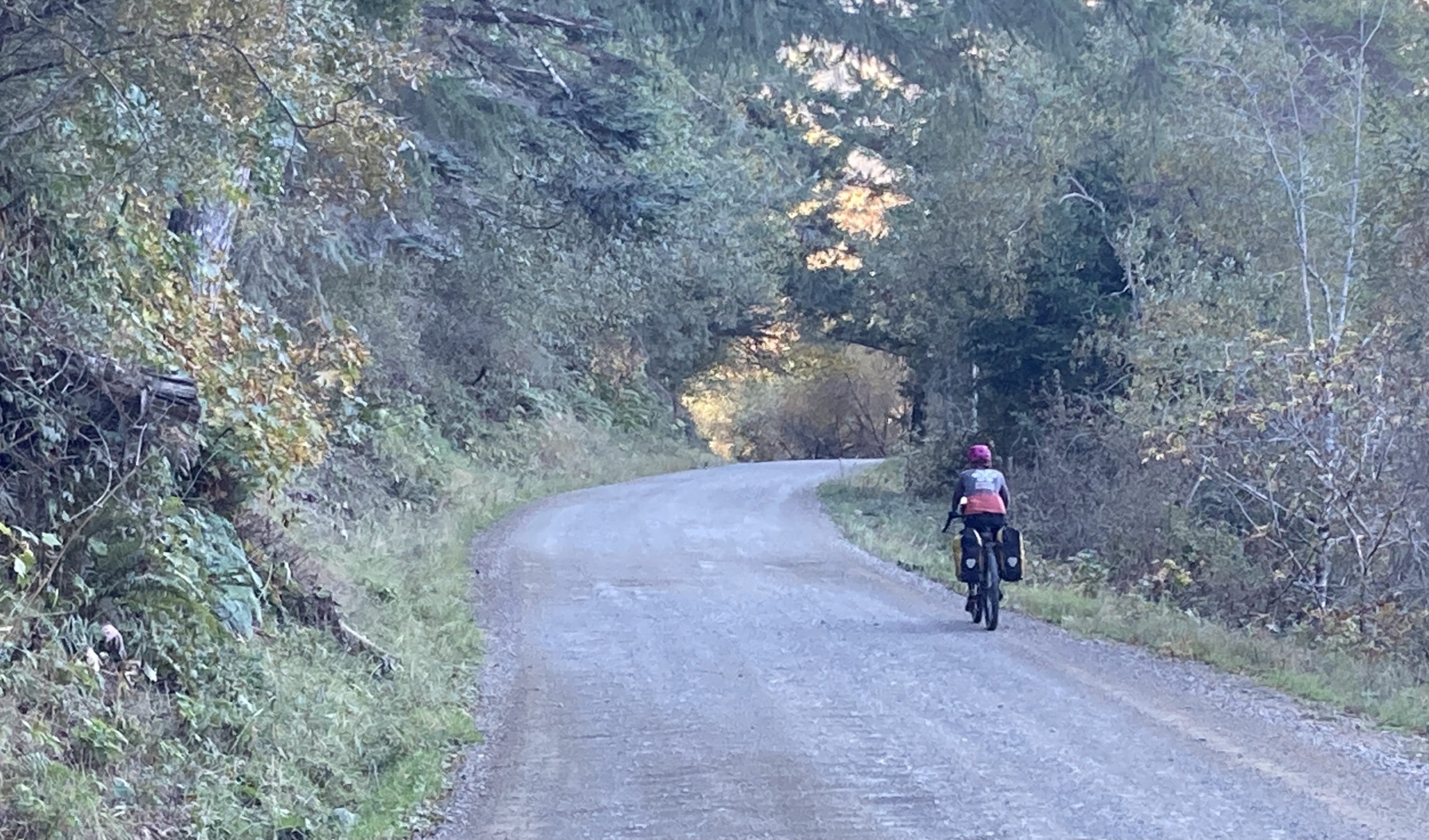
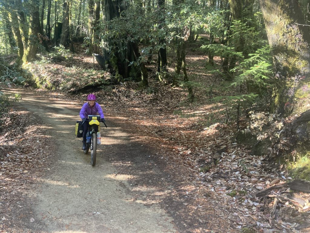
We were looking forward to the next section; the Usal road is quickly getting a reputation as a rugged bikepack route as a function of the Usal Hopper bike race. We reached out to the race director about the conditions post-rain and were pleased that he replied quickly that the soil was such that it would be good to go, so off we went. The Usal road delivered:
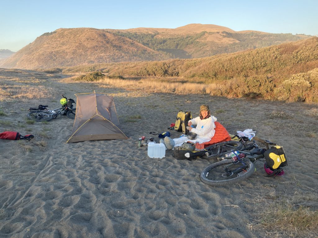
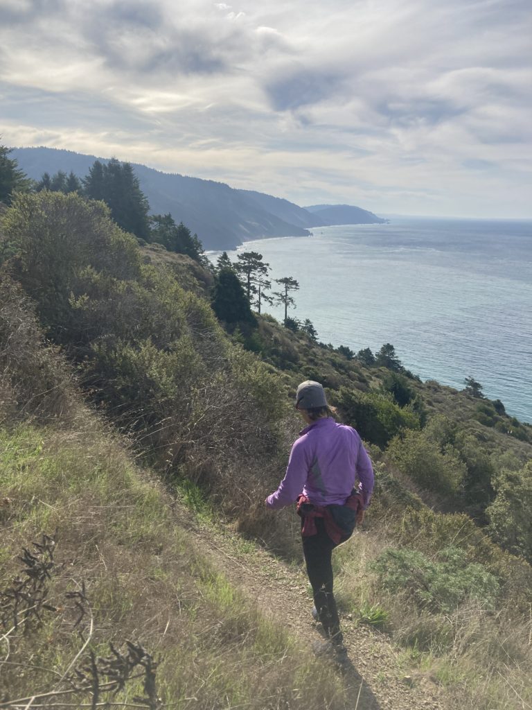
our day finished with another plunge back to the coast, where we had another great beach camp
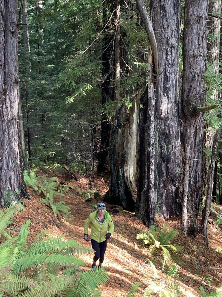
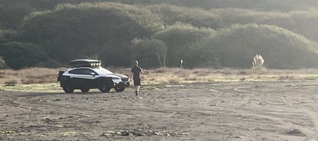
we hiked/ran a bit on the Lost Coast trail tail:
And got a great show from a guy who loves his subaru so much he drove it out onto the beach for a super cool photo shoot:
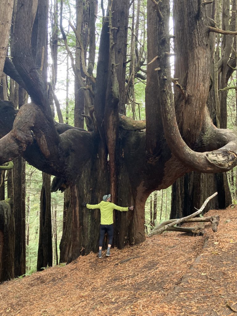
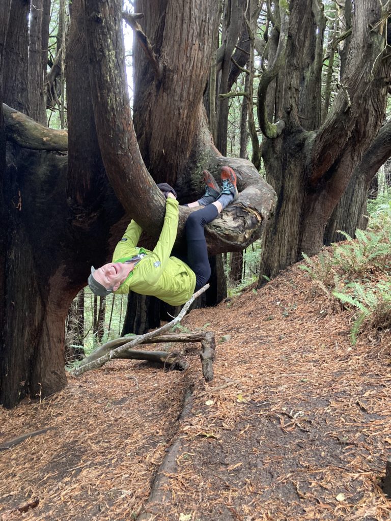
A super cool and unique redwood grove is just off the beach:
A gnarly little climb out of the beach (that’s the start of the race)
and a quick plunge:
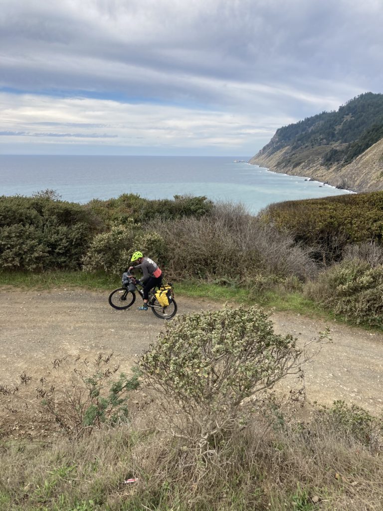
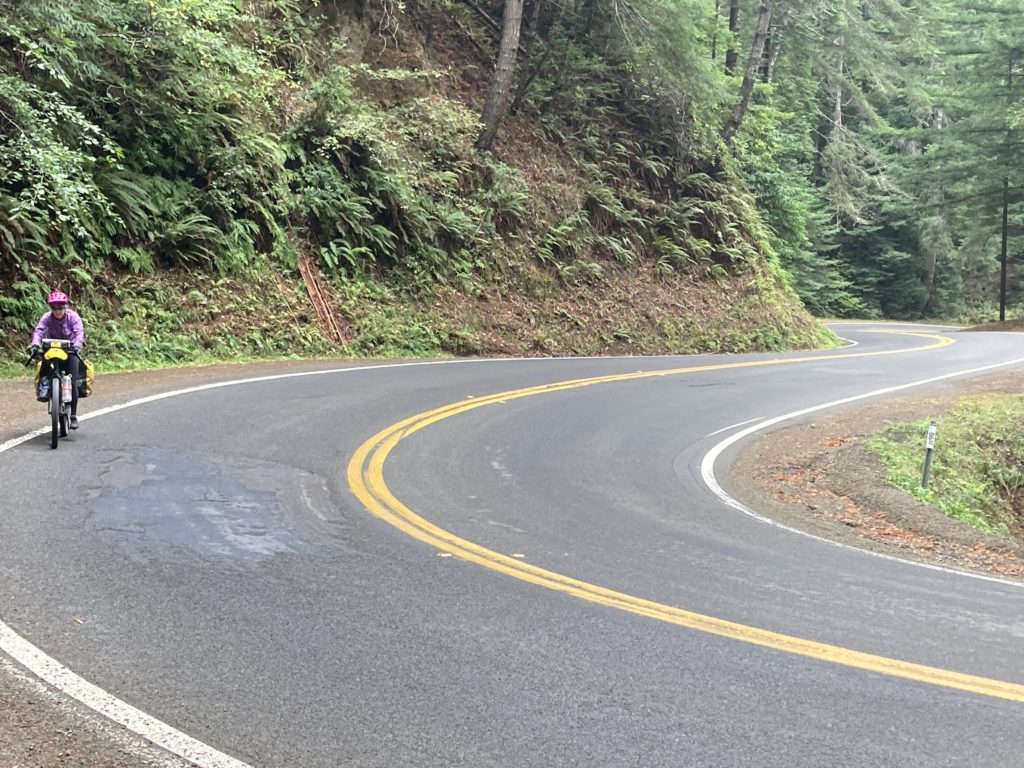
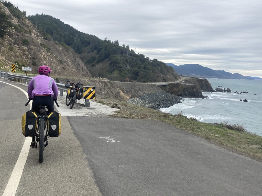
brought us down to near the beginning of highway 1,. the iconic paved road carved/blasted into the California coast as an audacious project begun in the WPA-fueled 1930’s that is a summertime parade route for RV’s. It’s also the centerpiece for bike tourers who ride the West coast, and it delivered on roly, twisty, high quality riding with not too much traffic.
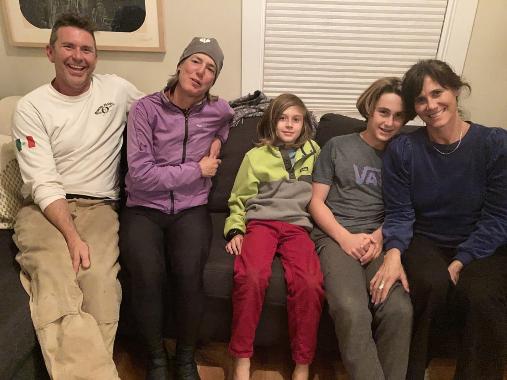
We rolled into Fort Bragg and then on to another town of quaint: Mendocino, where Ashley’s stepbrother Kevin lives. We rolled into their driveway about 20 minutes after dark, once again in a rainstorm, and when slopped our way in they exclaimed: we just pulled a shepherd’s pie out of the oven! You need a beer?” A great end to another ride.
Of note, this was a point to point tour, and Don introduced us to a colleague who was willing to shuttle our car from Arcata down to Mendocino. There is a good bike shop in Eureka that – if you’re patient – might be able to find someone who’s keen to make a bit o’ cash to do the same.
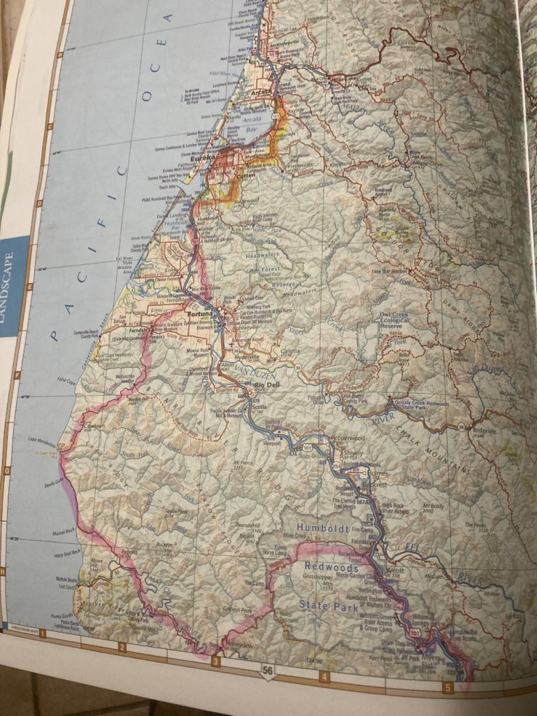
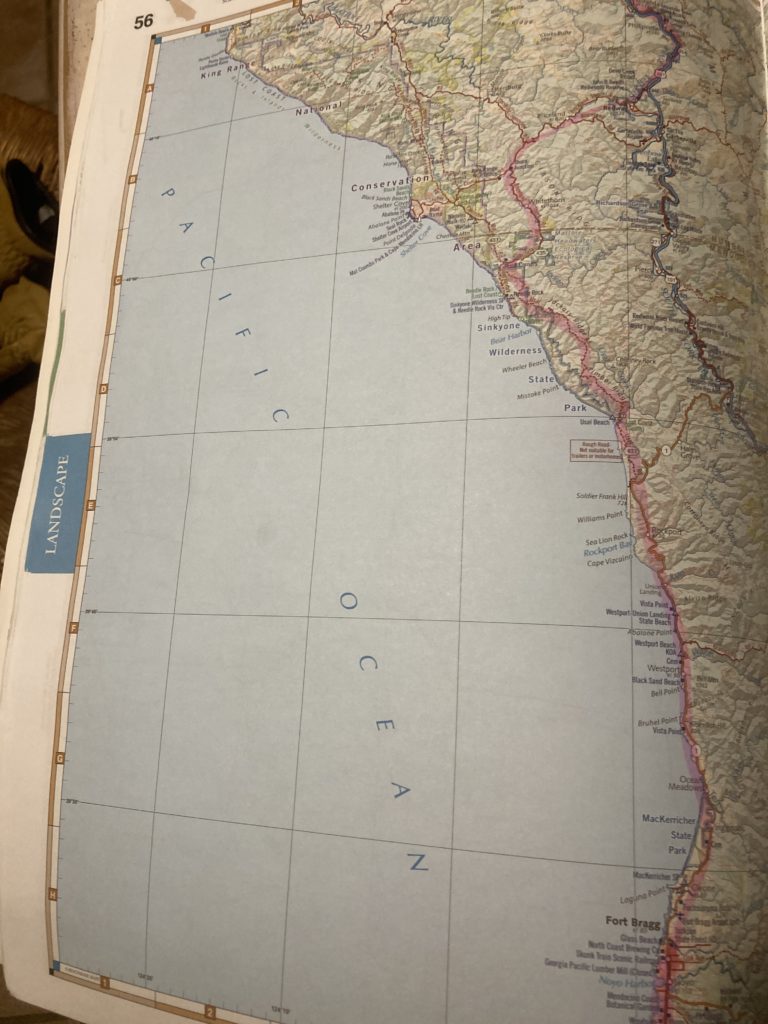
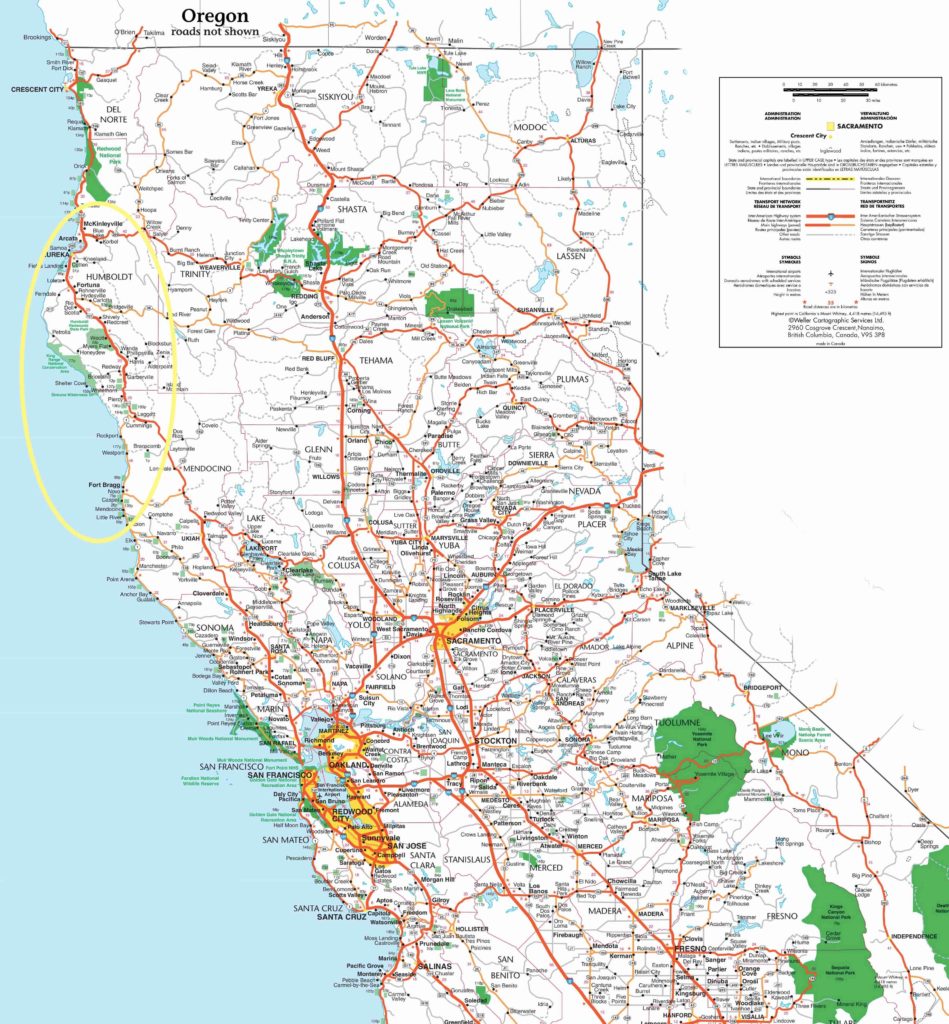
Here are a couple of maps of our route: