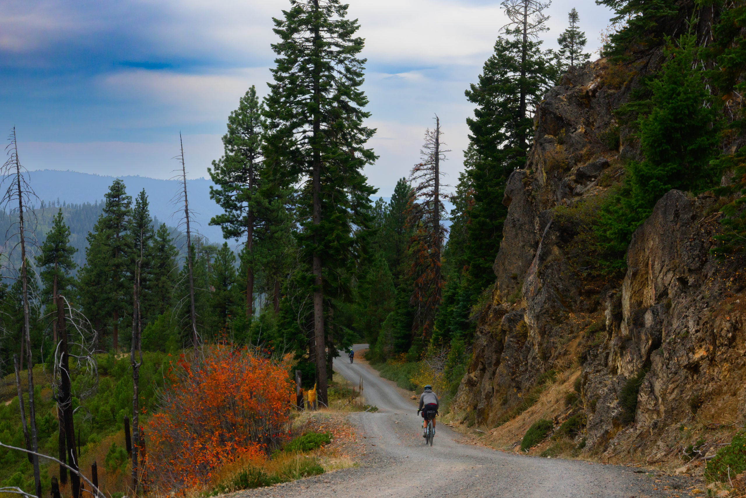
This fall Ashley and I had the unusual opportunity to hit the road for a fairly extended amount of time; she had finally finished up a fulfilling role in leading Wasatch Community Gardens for nearly a decade, so we loaded up the beige Forester, completed the all-important task of creating the hashtag #beigeforesterlife, and hit the road. Our macro plan was go go to the Pacific Northwest first to take advantage of typically-nice fall weather there and visit friends and family, then work our way south into California (also visiting friends and family, and doing a fun trip down the Rogue River on the way), and mostly explore the California coast and deserts on bike tours as the fall wore on and we followed the sun and warmth south through October and November. Generally that strategy worked out smashingly; while we got hit by a couple of memorable rogue rain events in NorCal by the time the unusually-wet weather hit the PacNW we were long gone, and sunny SoCal lived up to its reputation. En route we were able to connect with nearly 50 friends and family members, which was such a great addition to our long adventure.
Since a big aspect of our trip and perhaps the most interesting was the bike tours that we did, I thought I’d go ahead and do a series of posts on these tours, unless of course a “series” gets too tedious! But they were all so great and different that hopefully tales of them won’t be too tedious! In addition to tours that Ashley and I did together in the Lost Coast area, the Big Sur section of coastline, a big loop from San Bernardino to Big Bear to Joshua Tree to the Anza Borrego desert to Palm Springs, and a final backcountry loop in Death Valley, I was able to connect with two pards with whom I tromped and bushwhacked and paddled around Alaska with this summer, Benj and Chip, who had been planning on a route in Central Oregon that had been developed by a local bike shop owner that he called “the Ochoco Overlander” In addition to creating a route that he shared on Ride with GPS (a new app to me that is pretty handy for identifying and creating routes) he also sponsored an actual event that had taken place a week or two before we arrived.
Though I grew up in Oregon and have spent plenty of time in Central Oregon, I had never been to Prineville, where the Overlander begins. Where nearby Bend and Redmond have historically been about recreation and brew pubs, Prineville has mostly been a ranchin’ town, like many small towns that stretch across the rolling sagebrush from the Cascades to the Rockies, and besides that it was the longtime home of the venerable Les Schwab Tires. However, Les Schwab (the company) moved to Bend in 2006, which could have been the death knell of the company, but not long after that Facebook decided to open the first of a series of data centers there, and not long afterwards Apple followed suit. So while Ford F-one-fitties are still the most common rigs rattling up and down Main Street, there are now a good handful of Teslas running around and the town seems pretty vibrant. Which is probably why Good Bikes is there and there’s a good bikepack route!
The route is called the Ochoco Overlander because it rambles through the Ochoco Mountains, a modest range with high points in the 6-7000’ and runs down the center of the state:

with the 280+ mile, undammed John Day river (4th longest free flowing river in the US) wriggling through much of the range, and highway 26 (the extension of the highway that goes over Mt Hood) tromping through it as well. But in addition to the busy paved highway, like so many places in the West there are a gazillion miles of gravel roads, and the namesake of Good Bikes clearly put a lot of effort into creating a great 3-4 day loop of 180-odd miles with about 14k feet of climbing (and descending!) that’s about 65% gravel and 35% paved.
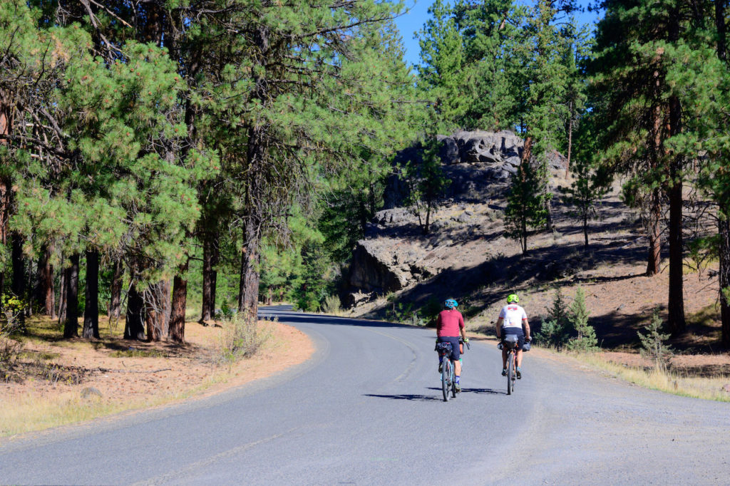
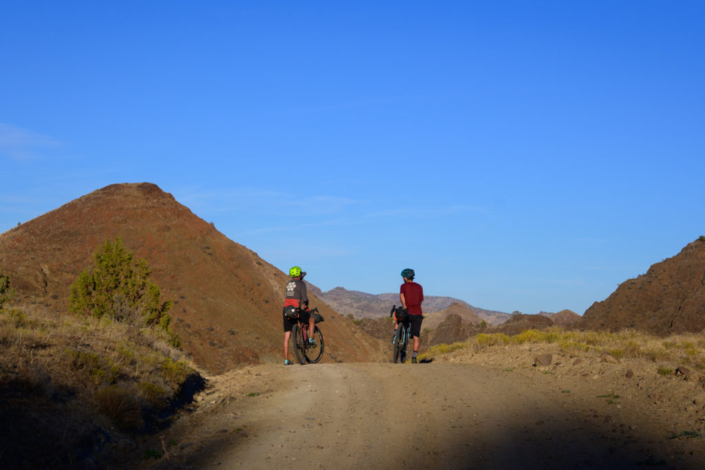
As in the spring, when Ashley and I did the Stone House Lands Loop in Utah’s San Rafael Swell, I felt a couple of pangs of sheepishness that we were doing an established route that – with the benefit of the Ride with GPS app – provides literally turn by turn directions on a route that someone else came up with. I like coming up with routes and I like figuring this stuff out as I go, but we all love to get local beta on maximizing the local recreation when we’re from out of town, and I know well the value of intimate knowledge of an area by someone who has a similar passion/outlook, so….why not take advantage of that?
It’s best to get an earlyish start out of Prineville (there are plenty of diners that open early, and since it’s Oregon, some nice coffee shops with goodies as well) since the first day is either kind of short to one viable camp or 70 miles to a more remote camp on the banks of the John Day, because – like a lot of the arid West – there’s not much (any) water in between.
The 40 mile mark was the little “town” of Ashwood, where we saw no one
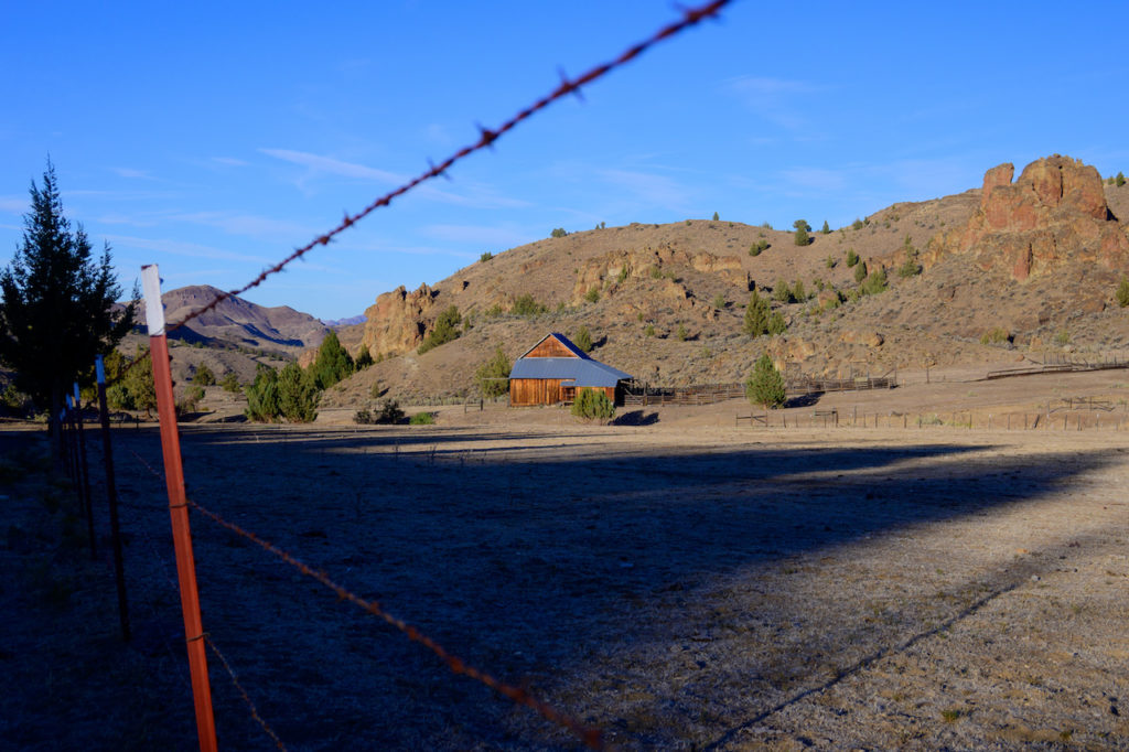
and the public transportation looked a bit dated:
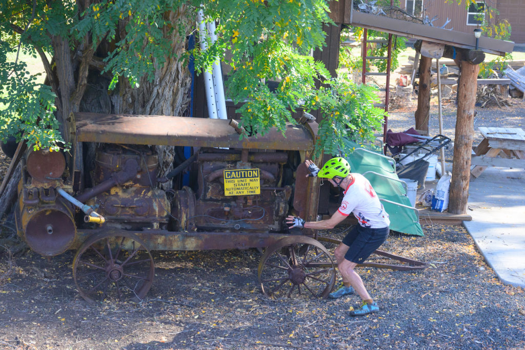
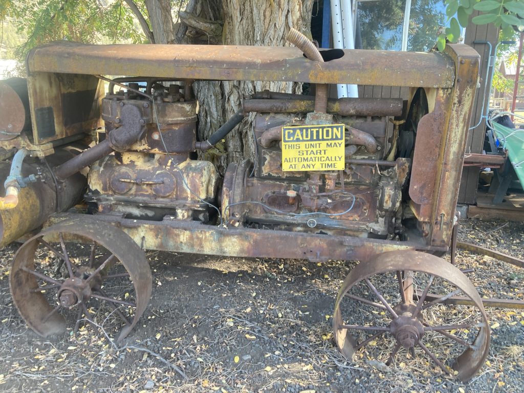
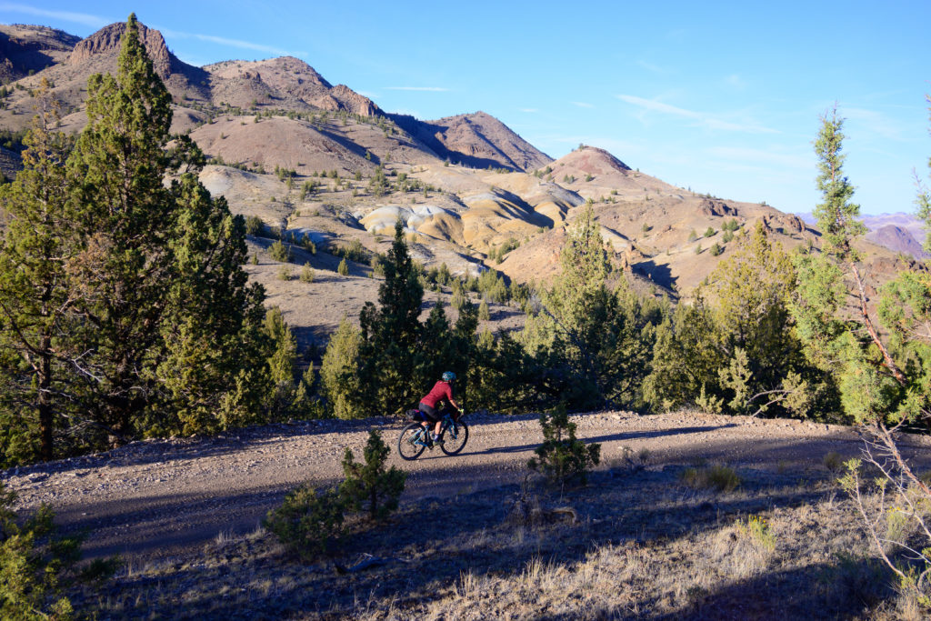
But we had plenty of time and pushed on towards the river. As the afternoon was waning into a golden sunset that was splashing across the rolling, barren hills we crossed a small spring-fed stream, and as I saw Benj and Chip pushing their bikes across I also caught sight at my feet the dreaded vines of Puncture Vine and their insidious goat head thorns. I yelped and told those guys to watch out for them, but it was too late; Chip already had a few of nature’s thumbtacks embedded.
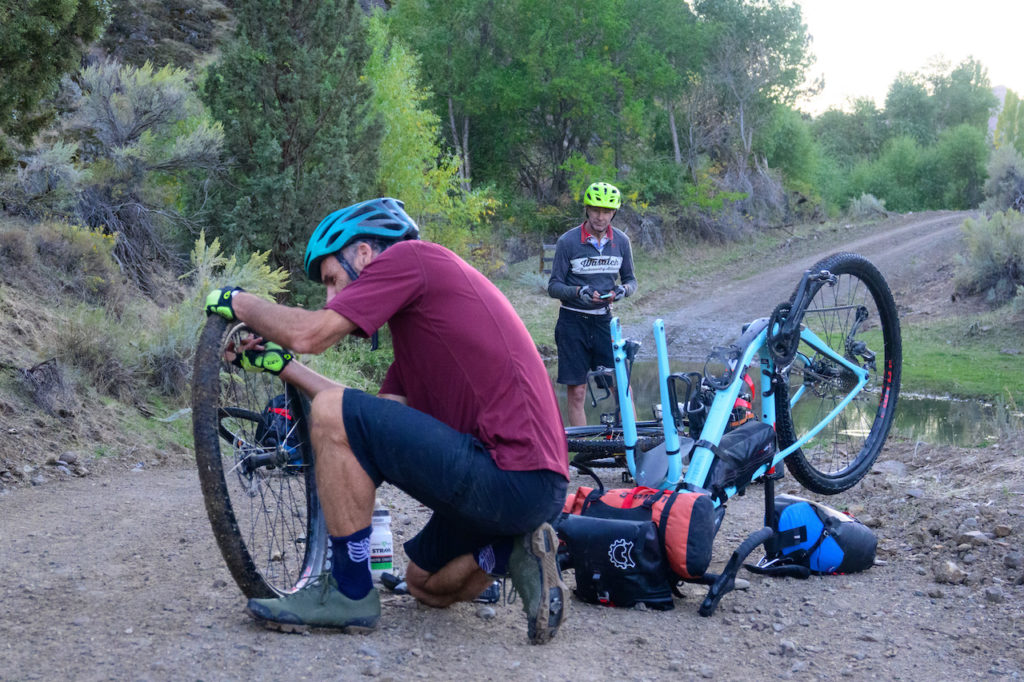
But after a quick change and some more pedaling we rolled up to the bank of the John Day (of note; it appears that the organized ride rents some land from a local for a large campsite that was otherwise inaccessible; we camped at the “old boat ramp” that was fine).
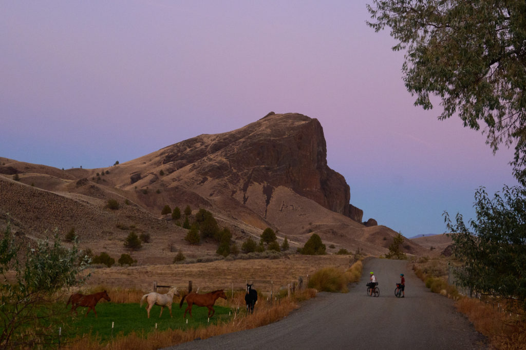
There was a pool where we camped, which was nice; though the John Day typically has a seasonal peak of 20-30,000 cfs, we had barely a trickle flowing between the pools, but as we settled into a fantastic freeze dried dinner, a little water was all we needed.
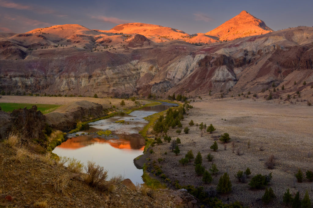
Surprisingly, in the morning we found that the gravel road we had accessed the river by actually left the river valley again pretty quickly, and climbed up to Highway 26, where it was a few miles to Mitchell. I hadn’t done much research on the route (I didn’t need to; it had already been scoped!) and didn’t know that Mitchell has its own bicycle-centric hostel! It was a total Euro-style place, with bunk rooms, a big lounge area with Tour De France videos and bike mags lying around, a communal kitchen, repair stand, and even homemade cookies out on a table! It’s next to a pretty forgettable diner that at least filled our need,
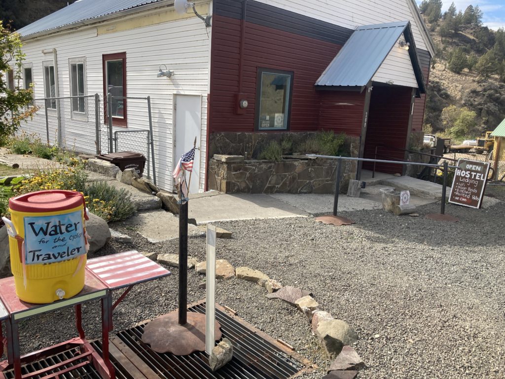
and just up the street in “town” there’s a great little brew pub, where the bartender was able to create cans of their drafts for us to haul with us to the night’s camp. Mitchell was a nice surprise oasis for hungry and thirsty cyclists (and makes for a short day on the actual Overlander event).
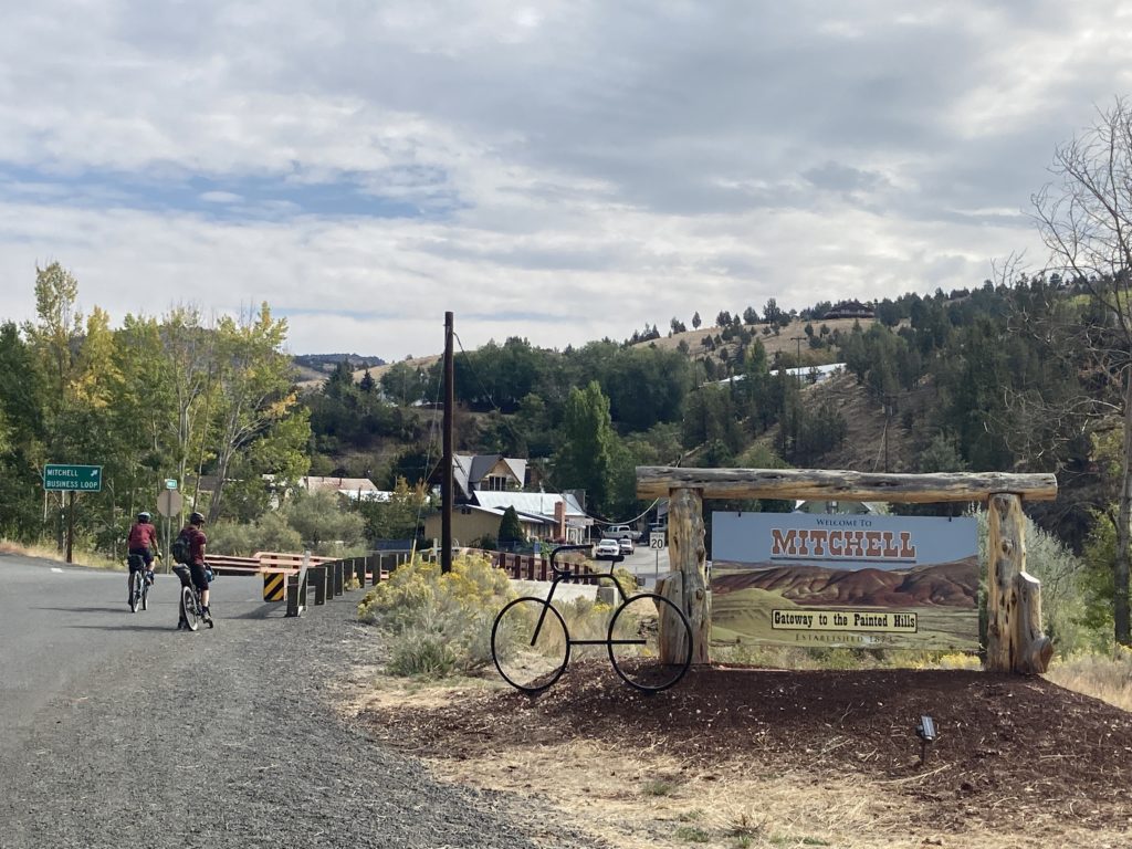
And haul the beer we did; the gravel climb out of Mitchell was 20 miles long! Not steep, but it was slow:
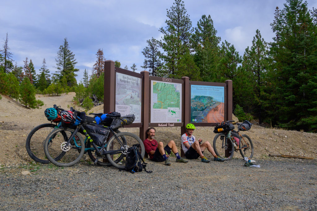
and once again we were rolling in late to a spot we needed to get to because it had water. But as with the John Day, since Walton Lake represented swimmable water, we were able to do another late – and chilly, at 6000 feet – rinse to get the salt off our bodies before we crawled into our sleeping bags.
Aside from the approach from Prineville to the mountains and a 4 mile section on highway 26, we’d been on nice gravel roads the whole time, with the low elevation desert of the John Day canyon giving way to the ponderosa pine forest up high. I love pondies, but they don’t lend themselves to creating long vistas, but once up on the crest of the Ochocos we finally got above the pondies and had some big views of the rolling Ochocos, including the eponymous Twin Pillars; weird volcanic rocks sticking several hundred feet out of a mountain ridgeline.
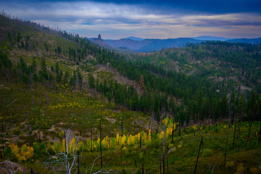
The riding along the ridge varied from challenging double track to buffed gravel, and as we made a few unlikely-feeling turns that worked out great, we realized the value of a local figuring out the best route to make a nice loop through a maze of roads overlaid onto pretty complex terrain.
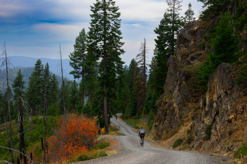
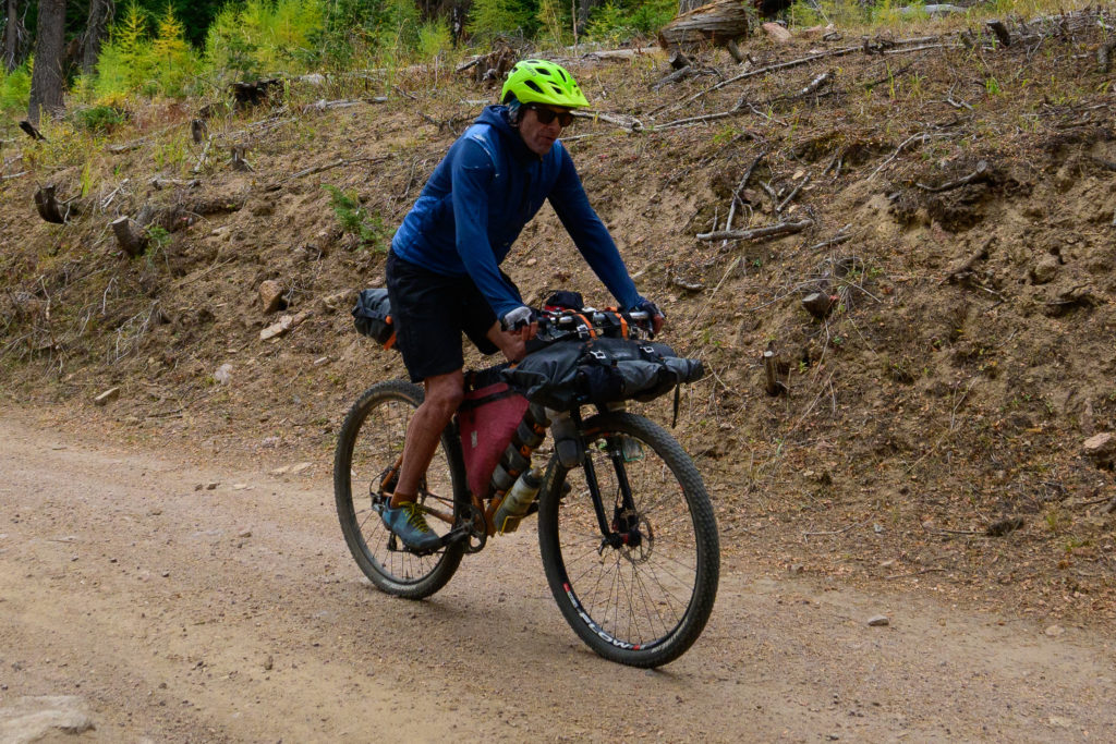
The Overlander ends with a long descent back down to the valley that Prineville is in, and a fast paceline got us back into town with enough time to put a few hours in the car on our way towards Seattle.
I just checked and the 2022 Overlander event is already full, but as we discovered, the route is still there and still available to anyone who wants to hit it up. Great kudos to Sir Good of Good Bikes for coming up with a great route and sharing it to joeys like us, and thanks to Benj and Chip for being great pards on their first ever (??!!?0 bikepack! And while I’d love to be able to take credit for the great photos in here, Benj is not only a great adventure pard but has that ability to make things you’ve done look even more beautiful in his pics than they actually are (well, almost)!
