When Jeff Creamer sends you an email titled “potential routes” you gotta sort of prepare yourself for it. As the most prolific packrafter in the lower 48 he’s seemingly “done it all,” from mild to wild, but applying his PhD science level mind to linking up squiggly blue lines on maps never ceases to come up with creative new adventures. After deciding that winter in southern Colorado should not be a deterrent to packrafting, he decided to start doing ski-based paddling trips, and pulled off two impressive trips: one across the San Juan mountains to finish floating down upper Vallecito Creek, and the other was floating the Grand Canyon to Phantom Ranch, hiking up to the North Rim, skiing across the rim to the Nankoweep drainage, descending that to the river, and finishing with a hike out up to the South Rim. In early January. He invited me (and everyone else he could think of) to join him on that one, but ended up soloing it over 11 days.
But when Jeff sent me a note with some potential skirafting trips to do in the spring when the days are longer and the weather is milder – I was keen. And atop the list was another visit to the Remotist Point In The Country.
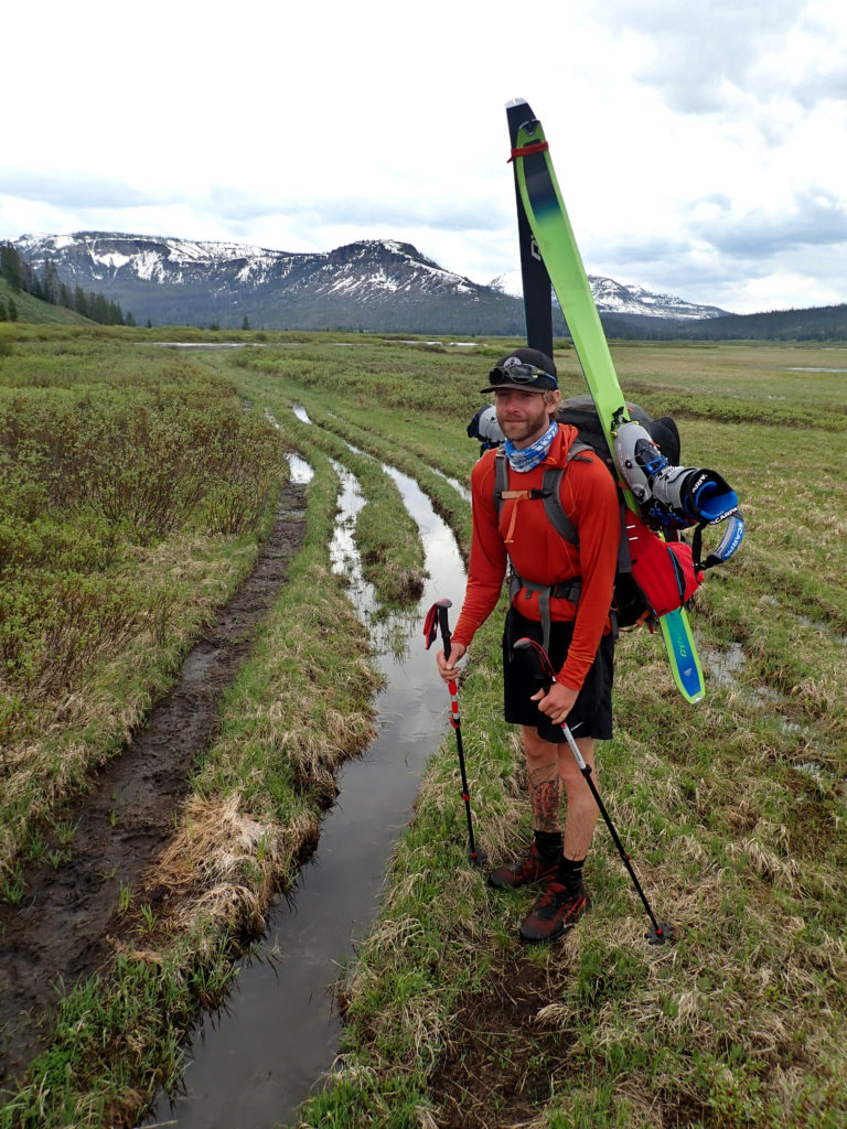
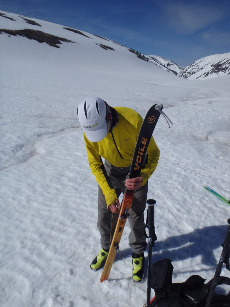
But first…..skirafting? What is that? Basically, these awesome little packrafts that offer incredible versatility in their ability to access deeper, wilder rivers by foot have – because of their internal-tube storage capabilities – the ability to carry a surprising amount of stuff including – surprisingly – skis. Even in the Alpacka Alpackalypse, which has the smallest tubes of the lineup, you can fit a pair of 178’s and ski boots in addition to the rest of your camping gear and food. Add in some collapsible poles (which sometimes are brought anyway to use as hiking poles) to your already-there clothing kit and you’ve got yet another way to access otherwise inaccessible rivers. Plus, you get to ski!

Jeff uses CalTopo, and he sent me a link to a site that had a handful of different routes on it in Wyoming: the Tetons (combining a traverse of the range that finished down upper Bitch Creek and into the Teton), the Gros Ventres (using Granite Creek, Fish Creek, and others), and the favorite: a snow-based variation on the iconic “DuMor” packrafting loop in the southern Absaroka mountains. The Absarokas is a long range that creates the eastern border of Yellowstone and is tucked in – but separate from – the Tetons to the SW, the Wind Rivers to the S, and the Beartooths to the NE, and is the headwaters of the 700 mile long Yellowstone river, which in turn is the biggest tributary to the Missouri, which when combined with the Mississippi makes it the 4th longest river system on the planet. Brother Paul, Drew Hardesty, and Zinnia Wilson did the DuMor trip two years ago in the heart of the summer and as always we marveled at how great the skiing would be in that area, so when Jeff suggested a ski variation on the DuMor I was keen.
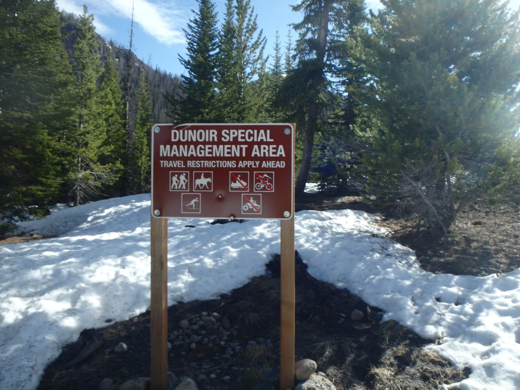
The DuMor starts near Dubois, Wyoming, pretty far down the highway from Togwotee Pass, and climbs over a pass and into the Shoshone river drainage, which is a 5000 foot deep canyon with a lot of fun whitewater. Our plan was to start right near the pass and get up onto the tablelands that formed the western side of that canyon and rolled for 25 or 30 miles to the same place that we were able to start floating into the Yellowstone drainage two years ago, with some fun descents in between, and hopefully finishing the first leg by skiing off the 12,000+ foot Thorofare Peak, which we kinda guessed no one had ever been dumb enough to do (and I’m always willing to do dumb stuff).
Prior to our trip we had been able to connect with my old pal Fred Marmsater who, as it turns out, has just come out of a ski trip into the Wind Rivers. He and his crew had exited early due to the unseasonably warm weather that hit the West the first week of June; the freezing level was something like 16,000 feet, and even with clear nights the snowpack wasn’t getting a surface refreeze so they were just punching through, even on snowboards. Considering that I was going to be on 68mm skimo skis, that sounded a bit disconcerting. But Jeff and I discussed it and figured well, let’s at least go check it out, and if indeed it’s insufferable, we can turn about.
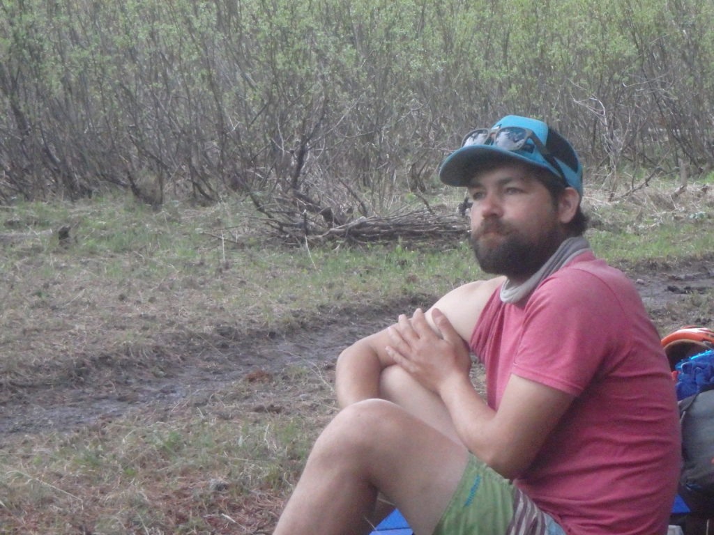
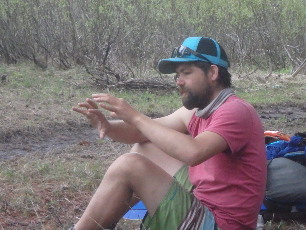
I’ve been learning that Jeff attracts solid partners, so it was no surprise that his old buddy Mike Coyle was also a great guy. Mike is a climbing guide from Boulder, and while I was prepared for a bit of outdoor ego associated with either a guide or an outdoor athlete from Boulder, Mike quickly showed that in addition to being strong and capable, he is also quite humble with a very balanced perspective on life; unusual for “professional” climbers…..
We started skinning on a road fairly early in the morning to try to take advantage of a refreeze, if there was one. We had talked about getting up early enough to be skinning in the dark to make hard-snow miles, but figured that might just get us in that much further before we decided to pull the plug, so just kind of an early-ish start was fine.
A couple of miles in we got to a creek crossing, and due to the heat the little creek was kind of blasting, and the snowbank sloped down to where it overhung the creek. Jeff and Mike leapt across, but I was a bit dubious; fast twitch muscles have always been rare finds in my body, and leapability is not one of my strong suits. But it had to happen, so I gave it a go and….plunged in. So I got a quick start in the soggy foot/boot slog, but as we were soon to realize, it wouldn’t much matter; our feet were basically wet for a week!
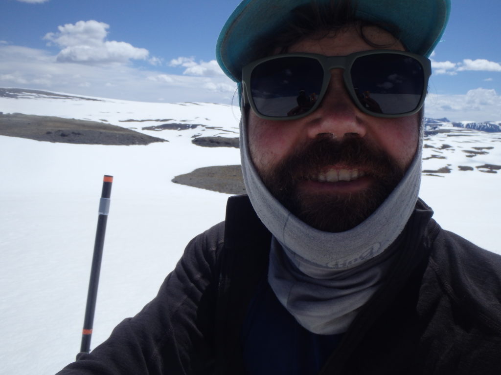
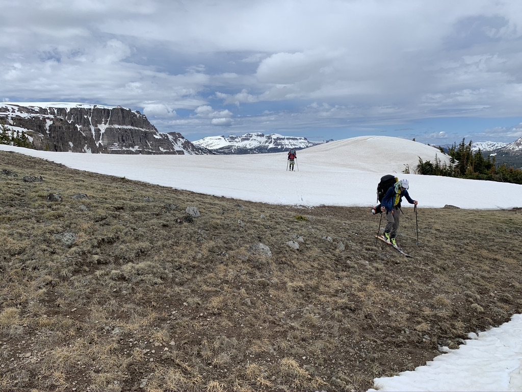
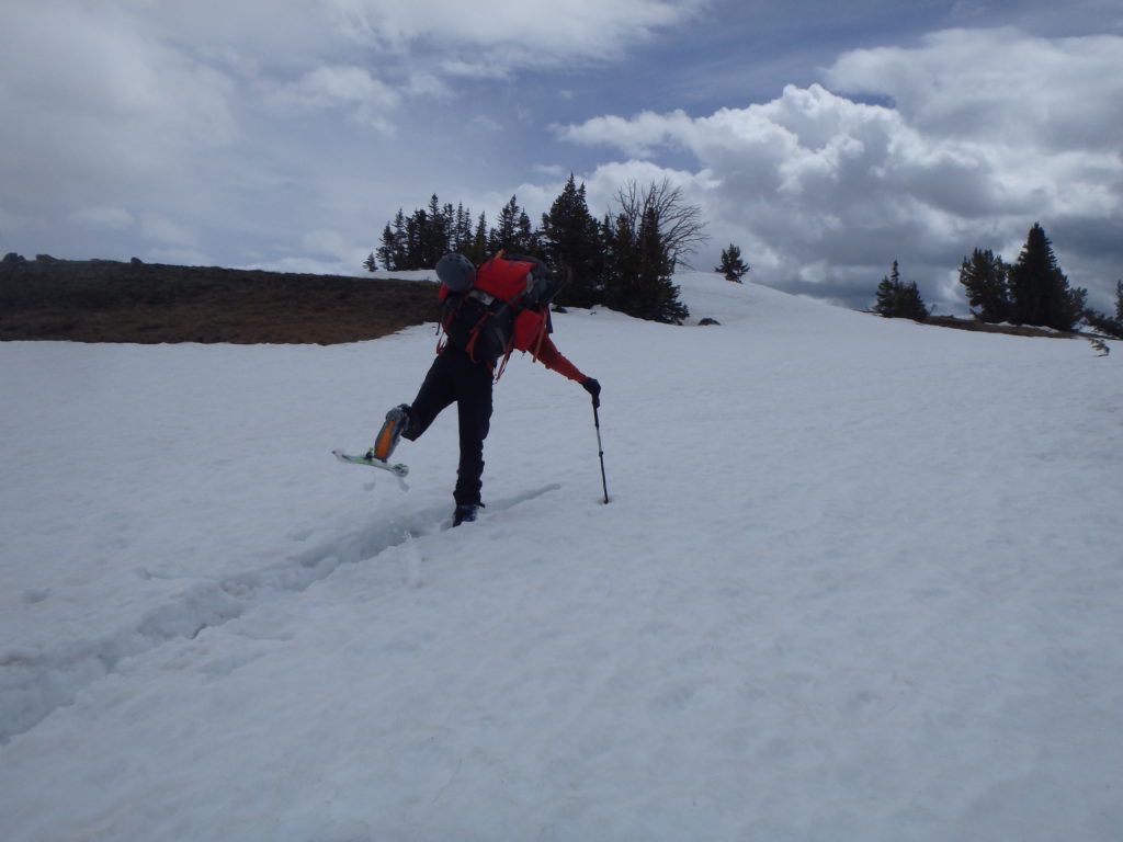
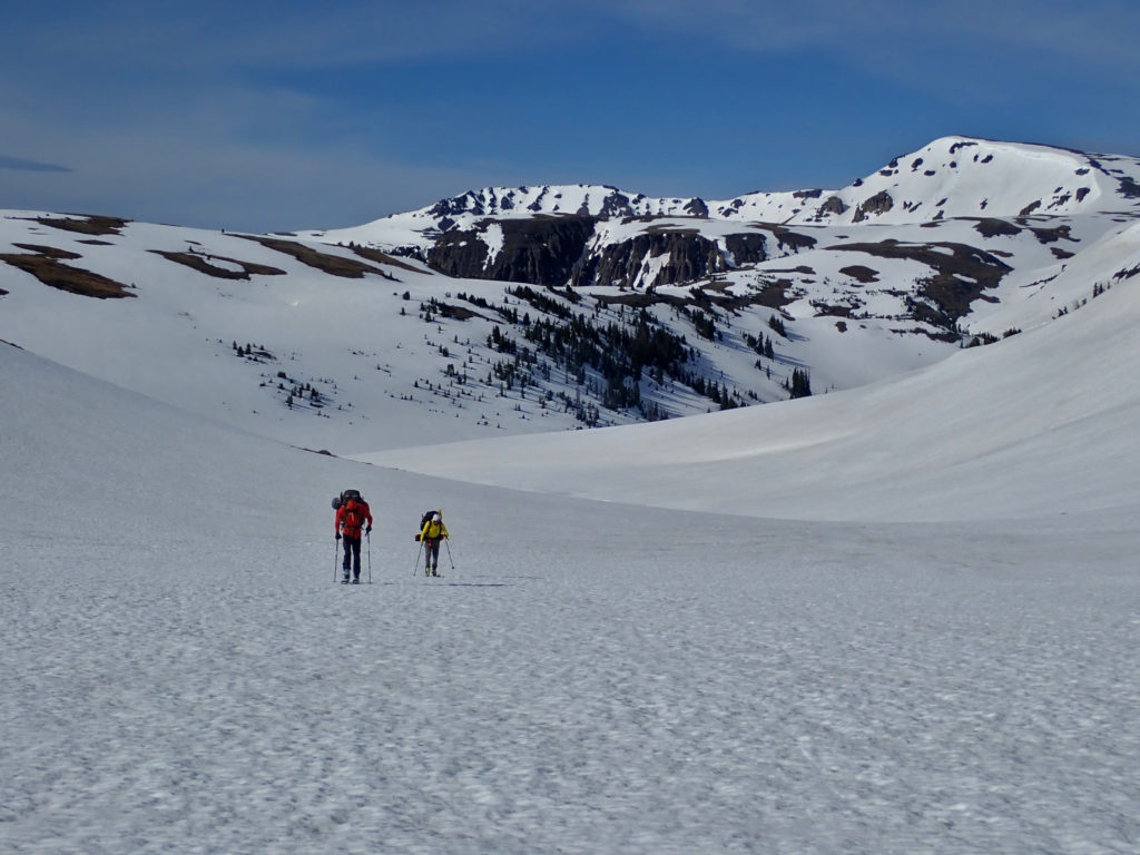
We were relieved to find that in general the snow was indeed mostly supportable. The spring melt had exposed a lot of rock islands on ridges that we used for rests and sometimes – if they were long enough, in the right direction – we’d use them for traveling. But we quickly learned that the perimeter of the rock islands had trap doors; when we got to within about 20 feet of the rock we’d plunge through to our knees and have to slog our way to the island, and do the same as we exited the island.
But most of the time we stayed on top, and the travel went as well as expected and we rolled along well above treeline,
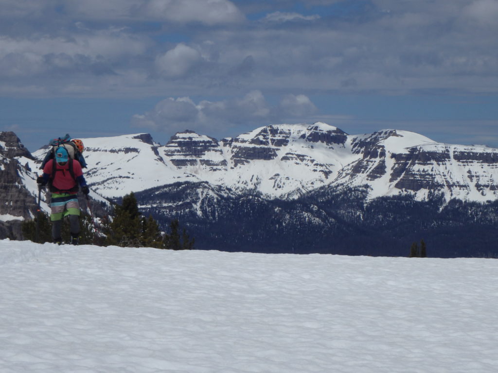
with huge views of the range, and back towards the Tetons. And I will admit, the long views of the terrain in front of us that we planned on covering looked pretty vast and bleak, and was intimidating.
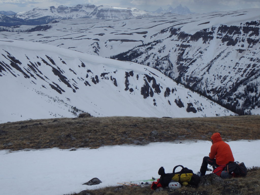
But with our soggy skins we kept shuffling along – with a few occasional nice several hundred foot descents – and soon enough the terrain behind us looked as vast as that which lay ahead.
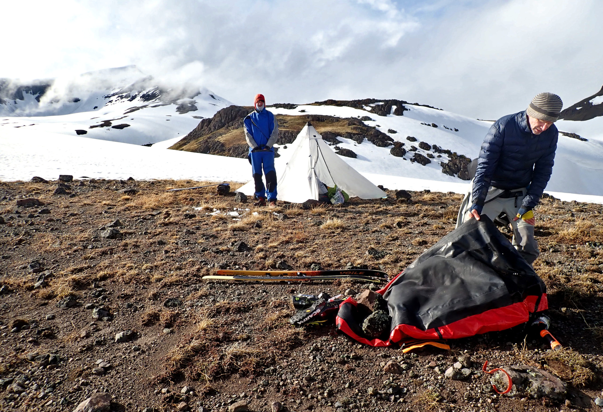
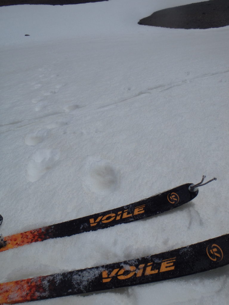
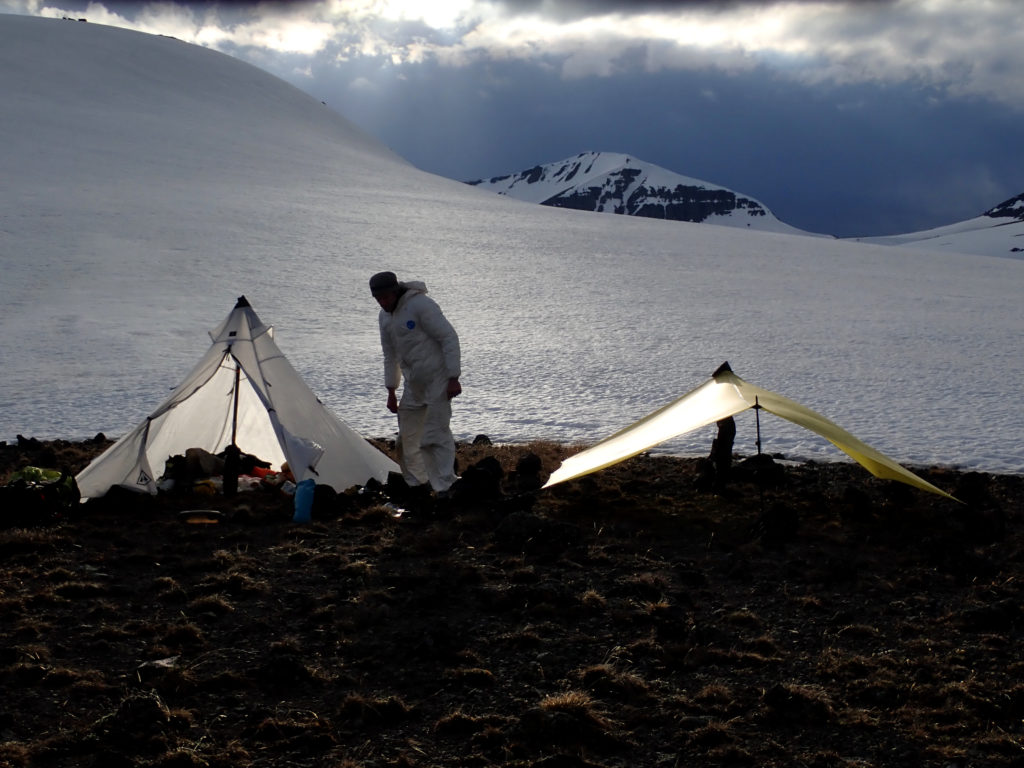
As we were setting up our first camp we talked a bit about bears. The Greater Yellowstone Area has had one of the best grizzly est repopulation programs in the country, which is great if you are a bear biologist and/or want to see them, but is a bit intimidating when you are camping above treeline on a little patch of rock near a little tarn that offers some of the limited supply of water in an otherwise snowy zone in early June when bears are hungry and there aren’t any berries nor many fish. I figured that other small game-type of feastlettes would be below the snowline and thus that’d be where the bears were. But in our 15 or so miles of traveling we hadn’t seen any tracks or scat, so we felt ok with plopping our food next to our shelters. Our comfort was short lived, however, when we hiked less than a half mile the next morning and saw a set of huge fresh tracks coming up out of the drainage and following our exact route down into the next drainage.
We were a bit lazier moving off our mid-morning snack spot that day…..

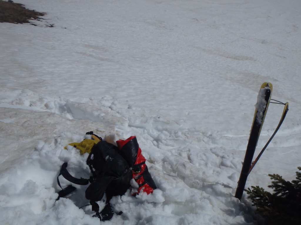
As we neared Thorofare Peak we had one deep canyon to cross before the long rolling climb, and we had the opportunity for a long section of nice skiing. At one point we got to a steep, narrow chute that was also quite short; maybe less than a hundred feet vertical before the pitch backed off. Looked good to go, so I fired down it. The problem with my calculus was that the narrowness of the chute meant that the rock islands were on each side with their heat emanating from them, and I didn’t account for the potential for mush. So I went about 10 feet straight down, my skis plunged, and I did a spectacular Superman dive into the mush, complete with my arms fully extended. It seemed funny for a second, because my head and torso were buried and my legs and skis were completely free as I kicked hopelessly. But I realized that I was fully trapped upside down with my head deep in the snow without any ability to extract myself, complete with the “face mask” associated with an avalanche burial (albeit a bigger mask, since my head had created a bit more of an opening). As such, I had to tell myself that I needed to avoid panicking and even stop moving and simply wait for a rescue.
I heard Mike ski to my side, of course he too plunged in, he couldn’t get his skis off and had a hard time getting to me, so I had to continue being patient. He finally was able to start digging and Jeff got there as well, and soon enough my head and torso came free and my legs fell back into the snow as I gasped for air like a beached whale. It was a good practice run for an avalanche burial, and like a burial, I was glad I had good partners!
A stormy evening (testing the limits of my little Sea To Summit superlight tarp thing):

A couple of hours of climbing the next morning got us to the ridge leading to the top of Thorofare peak.
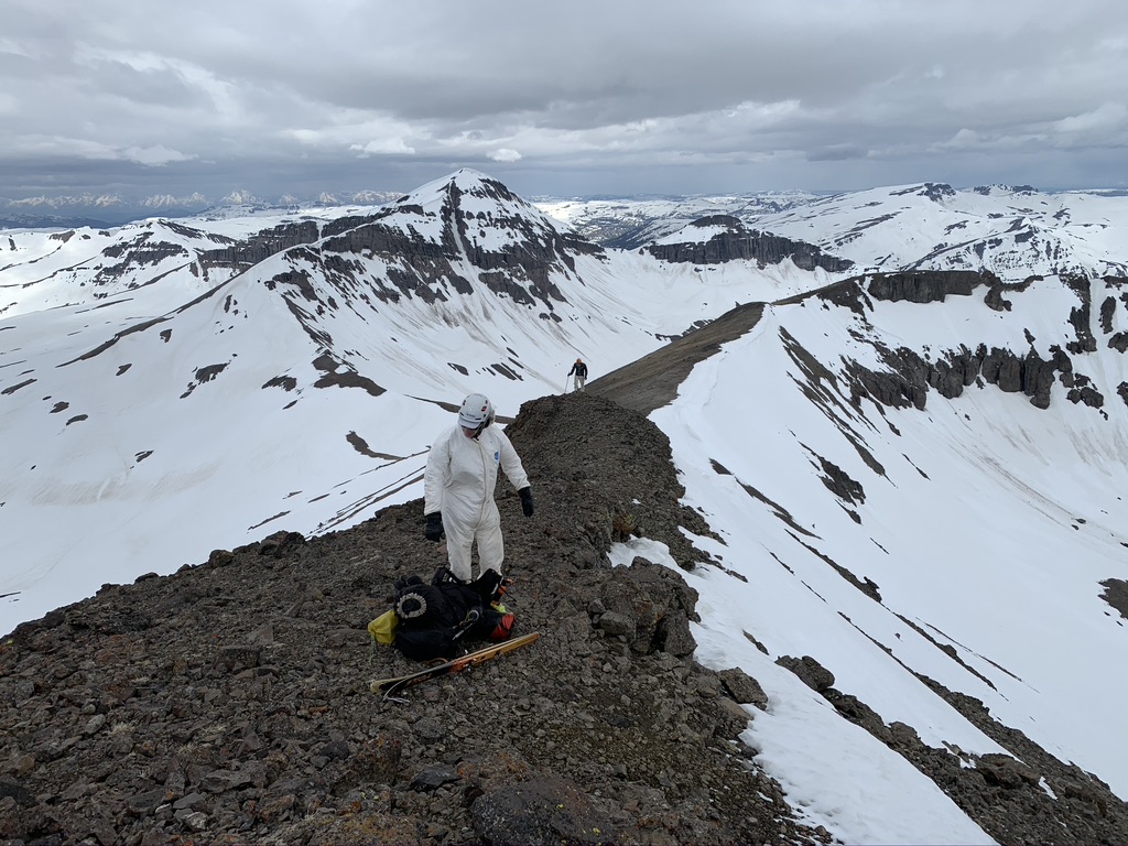
Remembering my earlier mush-plunge I made my first few steep turns off the rocky ridge pretty gingerly, but the snow surface held and as we eased onto the main slope it stayed supportable and had a nice ski; that is, as good as could be expected with a heavy pack and 68mm skis navigating suncups!
Once off the ~1500 foot “main” run the terrain bumped and rolled down into the drainage of Thorofare creek, where we continued “skiing” as long as we could, losing snow as we lost altitude.

And thus we did what we think is the first ski descent of Thorofare Mountain; ie no one else has been dumb enough to get all the way in there to ski a nice but pretty average 2000-foot line!
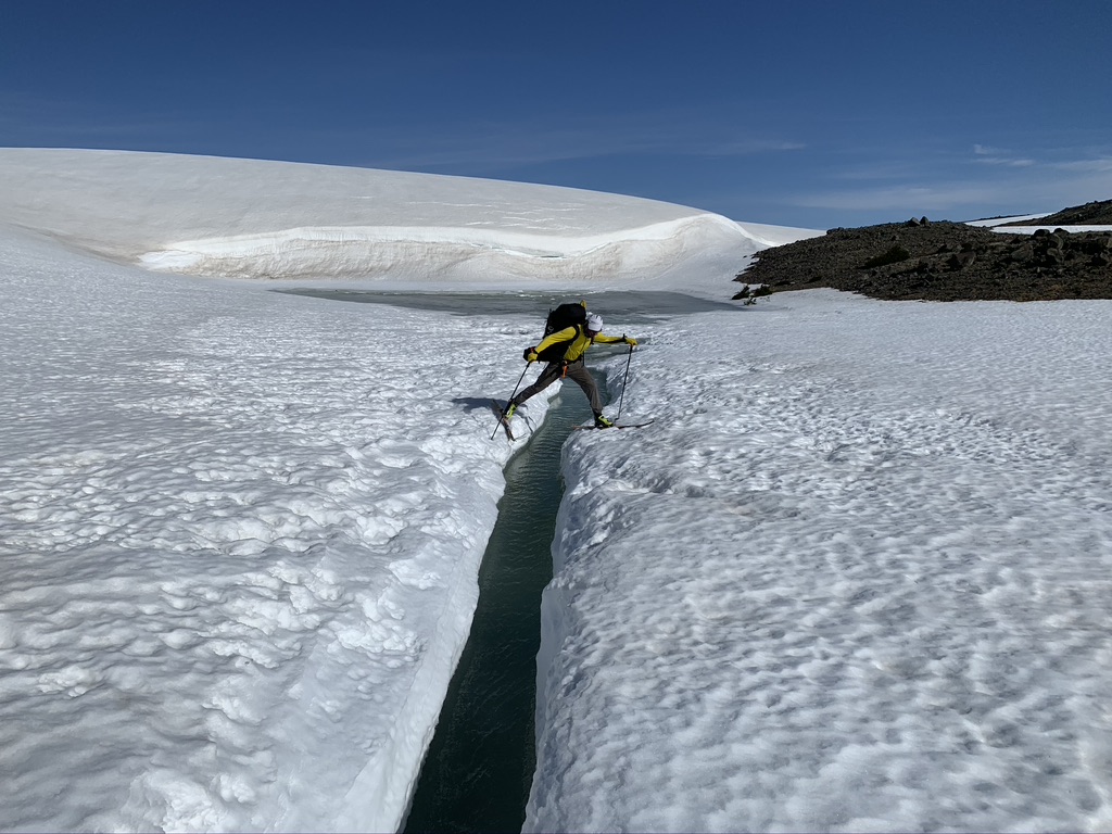
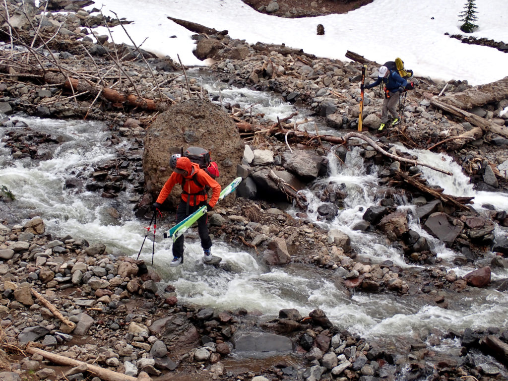
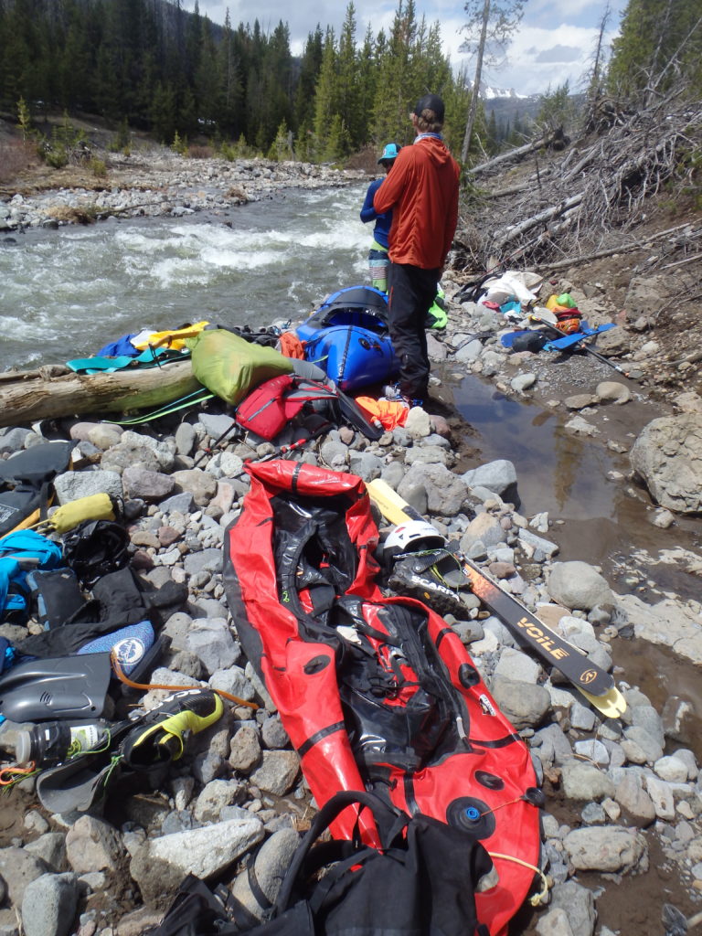
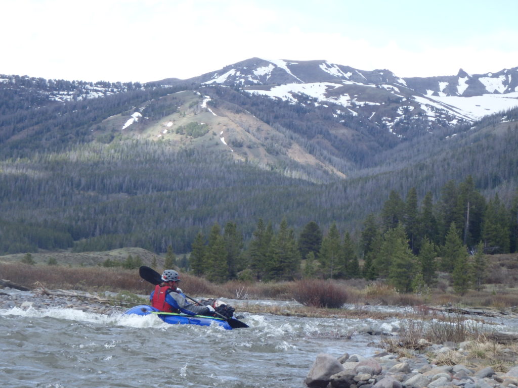
Finally we took our skis off and started walking, but the warm temps melting all the snow was filling up the creek nicely, and it was only a very tolerable bit before we finally – after a few days of slogging – were able to throw down our packs, blow up our boats, flop into them, and head down the river.
To be continued….
Sweet! Congrats on the post. 🙂
You are a crazy MF! I mean that in the best possible way. I love reading about your adventures.
Any tips for packing skis in the packraft? Do you wrap them, pad them, or secure them in any way? Thanks!