Part III in a series of tales of bikepacks (bike tours?) we did in the fall of 2021 on a multi-week road trip from the Pacific Northwest through California.
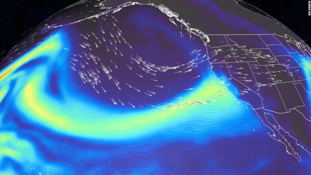
Our Lost Coast tour ended in Mendocino in what was to be one in a series of rain events that hit California in October, and we had to bypass the great riding between Mendocino and Marin county (even driving was a little challenging; Ashley got seasick even as she was driving the car!) and hung out in the SF Bay area visiting family and old friends and doing a few city things (the SF Academy of Science is pretty incredible). As the biggest rain event – the “Atmospheric River” , which is such a great term:
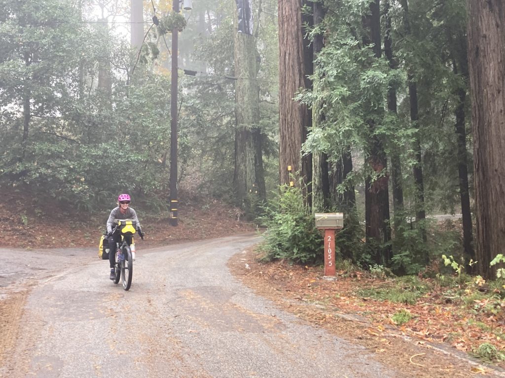
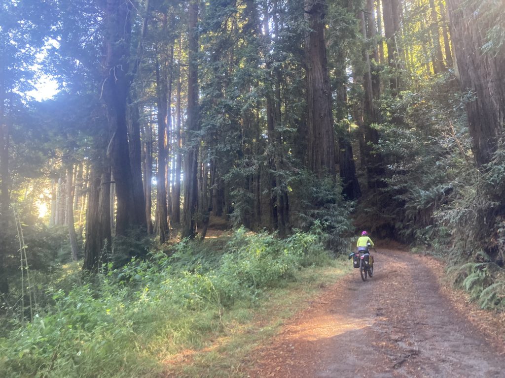
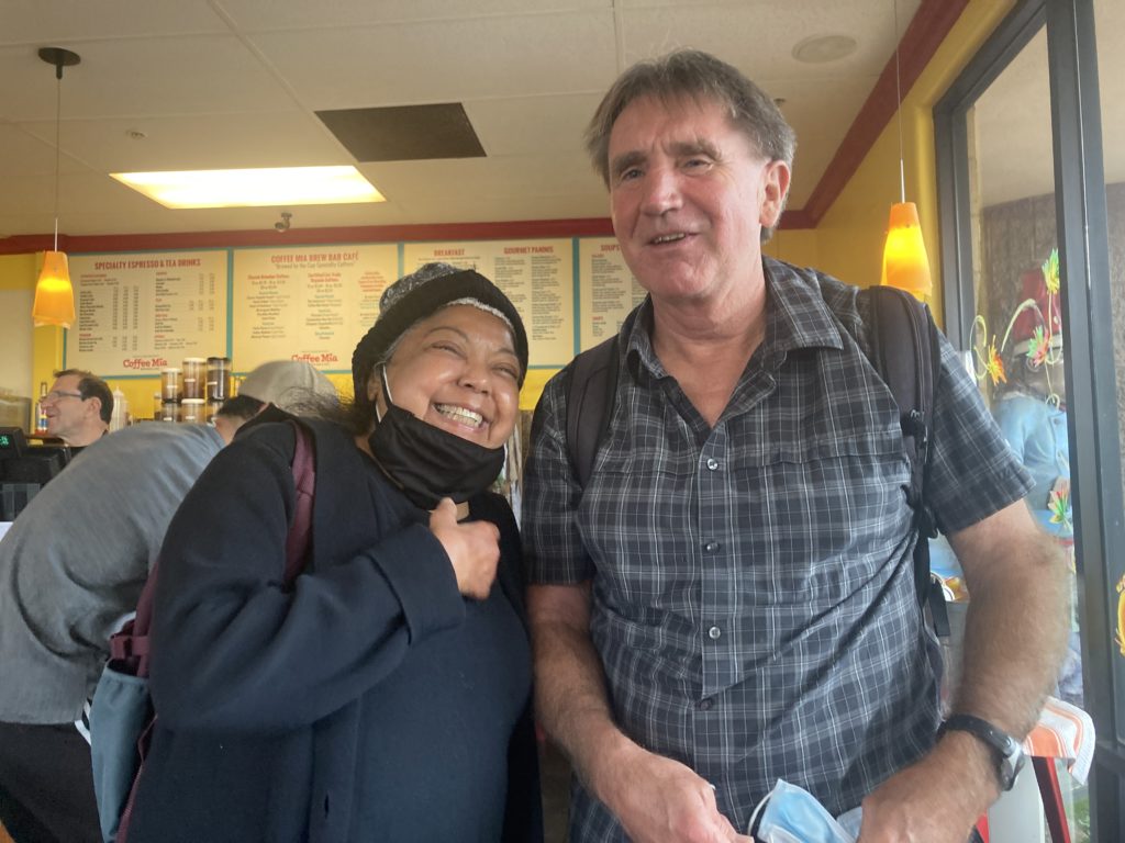
roared in and dumped a foot of rain in the area, we met up with Ash’s cousin Tom and his wife Kristi, who live in the lovely Silicon Valley suburb of Woodside. Tom is an avid cyclist and Kristi originally hails from Santa Cruz, so he rides over and through the Santa Cruz mountains to the coast a lot, and as the rain cleared out we used his suggested route to wind our way to the coast on barely-used roads winding through endless redwood groves, including one road that was closed due to a rain-induced landslide but had a very convenient rideable detour.
Once on the coast, we zipped down highway 1 to Santa Cruz, which was also feeling the effects of the storm with surfers getting incredible rides on the huge waves rolling through Steamers Lane.
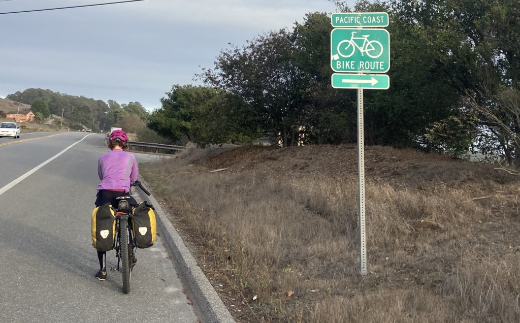
A brief look at a map indicated possibly grim riding along the coast south of Santa Cruz through the flat agricultural zone of the Salinas Valley, but likely due to the popularity of the coast cycling route and the fact that California is simply an amazing state in its embrace of The People’s recreation, there was not only a signed route on roads that were mostly used by tractors but the final 18 miles to Monterey was on a protected bike path.
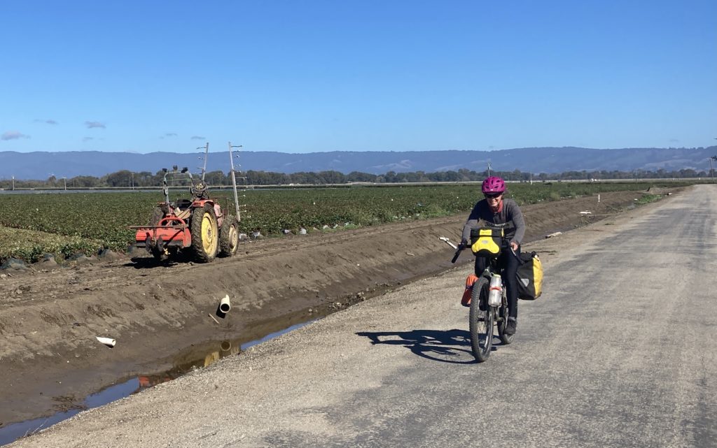
And it was fun to see the amazing agriculture of the Salinas Valley; October was harvest time for strawberries, artichokes, brussels sprouts, cauliflower, broccoli, raspberries, blueberries….and amazingly, much of that farmland looks like prime real estate development land near the coast; seems like California very much appreciates its agriculture as well.

We knew that Monterey had an aquarium, but we didn’t quite know it was super awesome until we got word from our old friend Colter that it was a must-see. So we hustled to get there in time for a couple of hours of roaming, and indeed it was worthy, even for a coupla terrestrial creatures like us:


When riding out of Monterey, it’s hard to not take advantage of what is apparently a pretty famous relatively car free coastal road: 17 mile drive. Hugging the coast that was still bursting with storm surf, the road seems to always be busy with cyclists who ride for free, while for better or worse there’s an expensive toll for cars holding way-too-rich folks heading for the two iconic golf courses of Pebble Beach and Cypress Point (both of which Ashley has played but that’s another story…almost another life..).
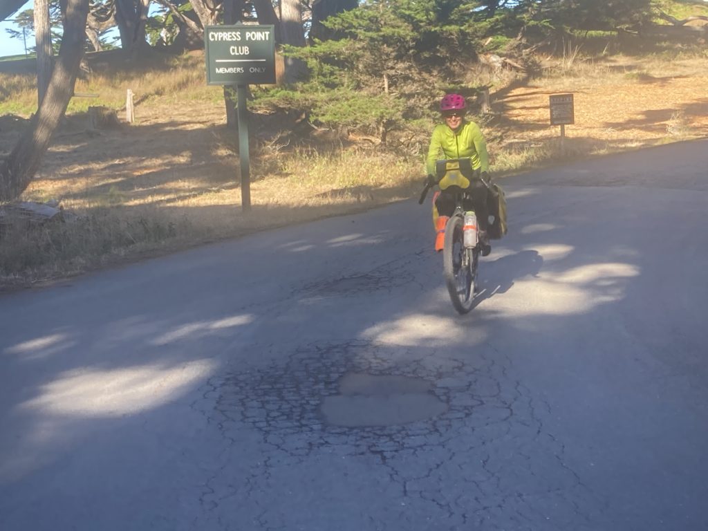
The cheesy website says it all: https://www.pebblebeach.com/17-mile-drive/.
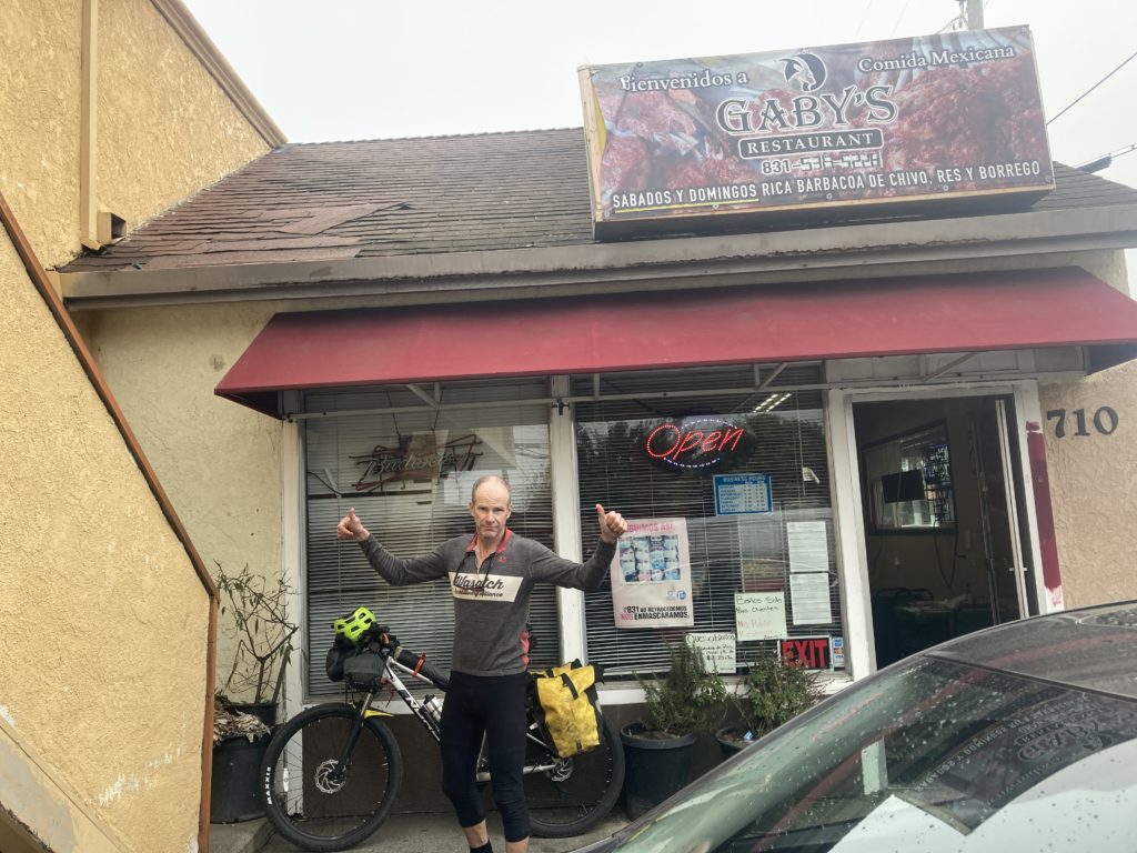
Once to the “charming” (code for too-rich) city of Carmel, we got back on Highway 1 and started heading south in earnest. Not far down the road we saw an electric sign saying “Highway closed” at some point that wasn’t familiar to us; we blithely rode past without giving it much thought; road closures rarely affect cyclists, right?
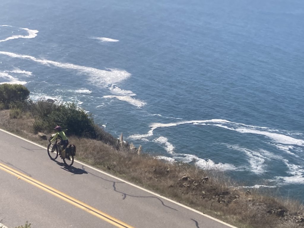
Highway 1 to/through Big Sur and beyond is an iconic road; it was built over 40 years stretching from the Bay Area to LA, with the Big Sur section being the first, which is ironic considering it crosses the most rugged terrain, with steep mountainsides tumbling straight onto rocky shores and deep side canyons slicing through that require impressive bridges.
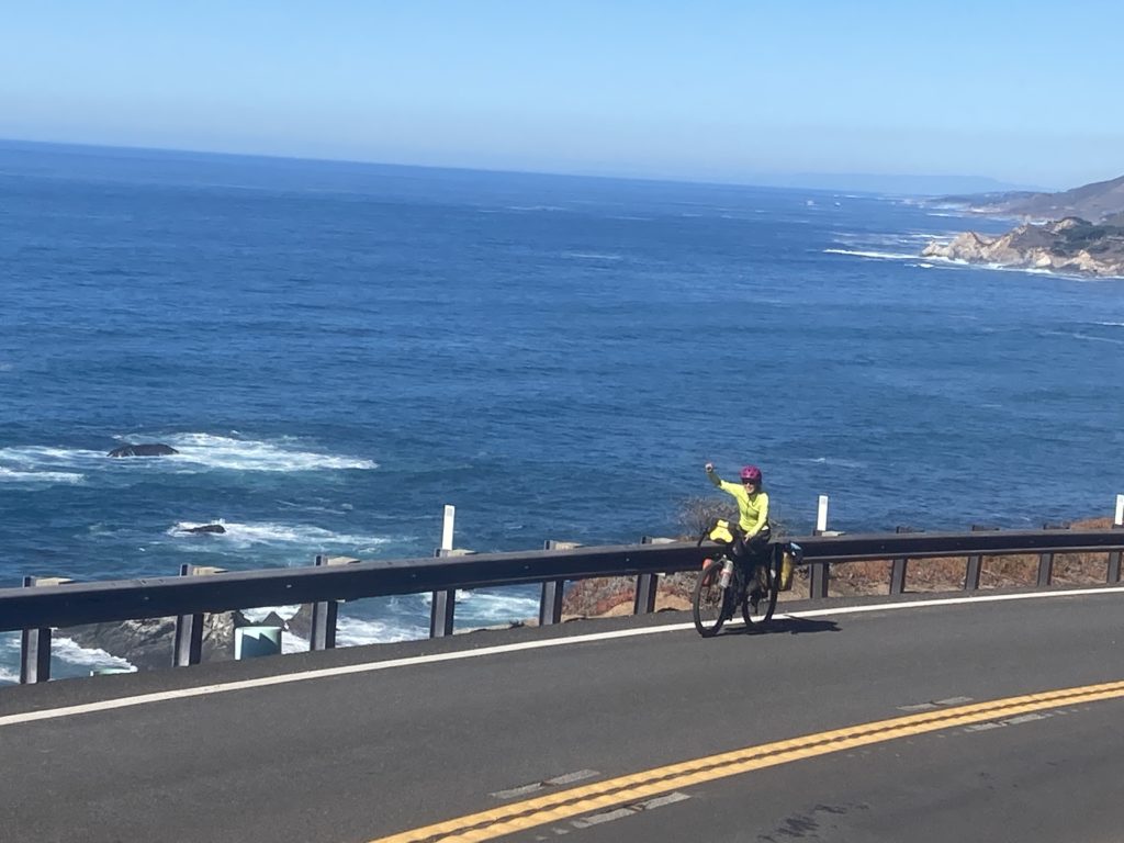
We had gotten a scoop from the owner of Carmel Bikes about a great detour off the highway that was the original road as they build the iconic Bixby Bridge:

and the detour proved worthy; 12 miles with two 2000’ climbs to keep us honest:
We rolled into the Big Sur area in the late afternoon and stopped at the little store there for some sustenance, and we overheard a number of our fellow touristas talking about The Road Closure. Again, we figured no big deal on bikes, but I saw a guy on an enduro moto come in from the south and asked him if he knew what was up. “Oh yeah, it’s FULLY closed. There was a huge landslide, and there’s a huge boulder perched very precariously above the road and they are trying to figure out how to move it without getting crushed. There’s no way around or through the closure, and they got guards there 24/7.” Hmm…that sounds problematic. He went on: “I live a mile south of the closure, and I’m riding 5 hours around to get home, and they think it’ll take at least 5 days to deal with it.” The closure was near Gorda, about 45 miles south, and we had planned on camping in the Big Sur campground, so we had some time to ponder our options.
As we had seen previously, California takes their state parks seriously, and California takes its cycling seriously, so we were excited to roll into the campground and find a designated bike site for $5. We shared it with a few other cyclists who were on long Pacific Coast road tours, and there was much talk about what to do about the closure. Our original plan was to ride south of Gorda and take a small road over the mountains into the valley on the other side and work our way back north. A quick look at a map showed us that there was another, smaller Forest Service road that did the same thing about halfway between Big Sur and Gorda, and the problem seemed to be solved, even for the road-intensive tourers, but apparently the prospect of a 2400 foot climb on a small forest road that would probably add a half day was pretty daunting, and they continued to perseverate on “what are we gonna do?” the entire rest of the night and the next morning as we prepared to ride, which grew a bit tiresome. As we rolled into the Big Sur Forest Ranger station for the latest info we saw a Kiwi couple stuffing their bikes into the camper of pickup; they were opting to hitch a ride for the long back-up-and-around detour. We shrugged and just pedaled on down the coast to find our new forest road.


Something that we didn’t anticipate was that with the road closed 40 miles away no motorists could make it through to the southern coast, so those cars that did go that way would ultimately have to turn around, so since people don’t really like out and backs much there was overall hardly any car traffic. Which of course makes road riding great; the only real problem with roads is cars!

After a couple of hours of riding we got to our little forest road, and as we started around a gate a car rolls up and a guy gets out and yells at me: “Hey, how come this gate is closed?!” Huh? I dunno; because it’s not open? “The Google says I can get to San Luis Obispo this way!” Um, well, if the gate were open and not closed, you could, but as it is….He continued to yell after me until I heard his wife yell at him “get back into the car!” which he dutifully did.

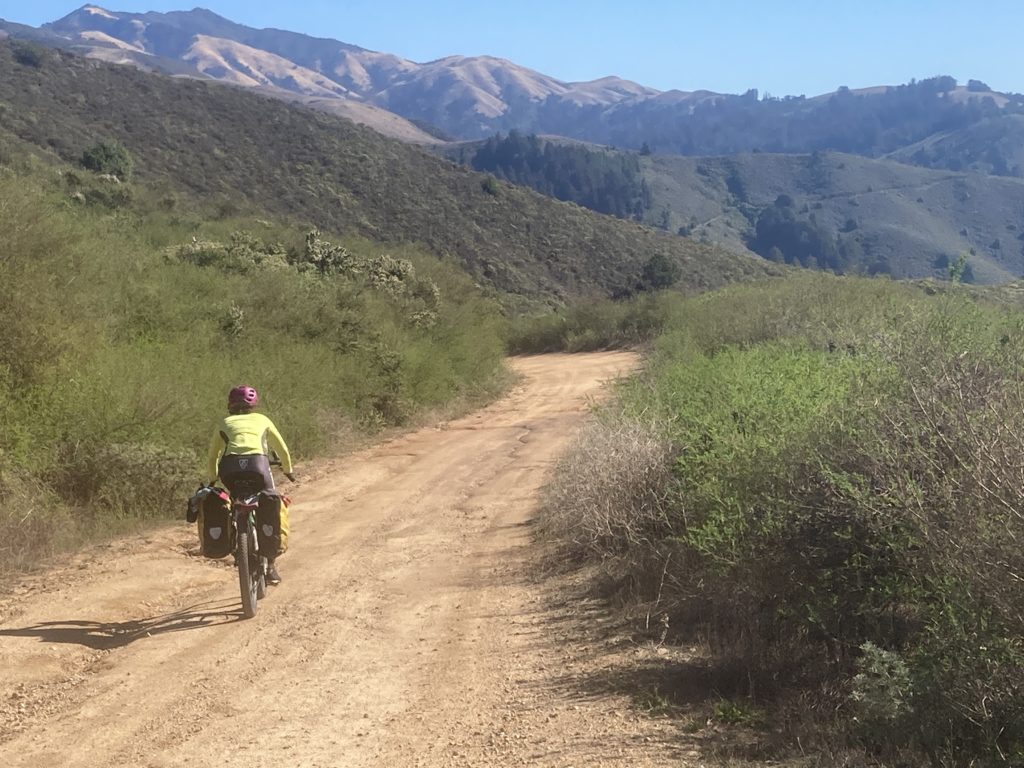
The forest road was great; one lane, old kinda beat up pavement, and as advertised, a nice long climb up to pass through surprisingly-burly mountains.


We went through the heart of the 2020 Dolan fire, which burned 128,000 acres, and it was easy to see why it burned so much because of the steepness of the terrain and relative inaccessibility from either the coastal or inland sides. For reference, I have a good sense of what a quarter acre is (our house lot), and maybe a few acres, but it’s been hard for me to know what tens of thousands of acres really means. 128,000 acres is 200 square miles, which is also sort of hard to know what that is until there’s an understanding of the fact that it’s 10 miles long by 20 miles wide; that’s a big burn! And a long one; it was sparked on August 18, and was finally fully contained on December 31st. Amazingly, another fire burned there just a few weeks ago; the 700 acre (1 square mile!) Colorado fire (that’s confusing) was finally put out last week.
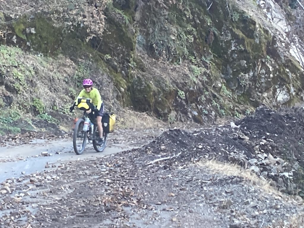
One of the concerns that the folks at the Big Sur Ranger Station had was the potential for rainstorm-induced mudslides across the road that passed through the burn scars. Of course, this is what had closed the highway that we had to detour around in the first place, but regardless of this potential we pushed on, but this time it was passable, but not necessarily effortlessly by all vehicles:

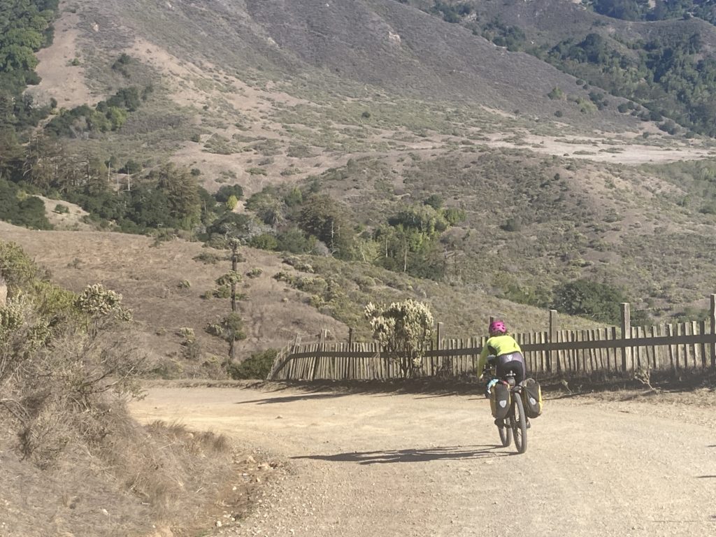
After a fun descent into the valley we found ourselves in the oak-spotted grasslands of Fort Liggett.

We were warned every few hundred yards to stay on the road to avoid unexploded ordnance, which was an easy order to follow, and we were happy to pass by an actual working army camp where we were – as always- able to beg some water from some bemused soldiers:

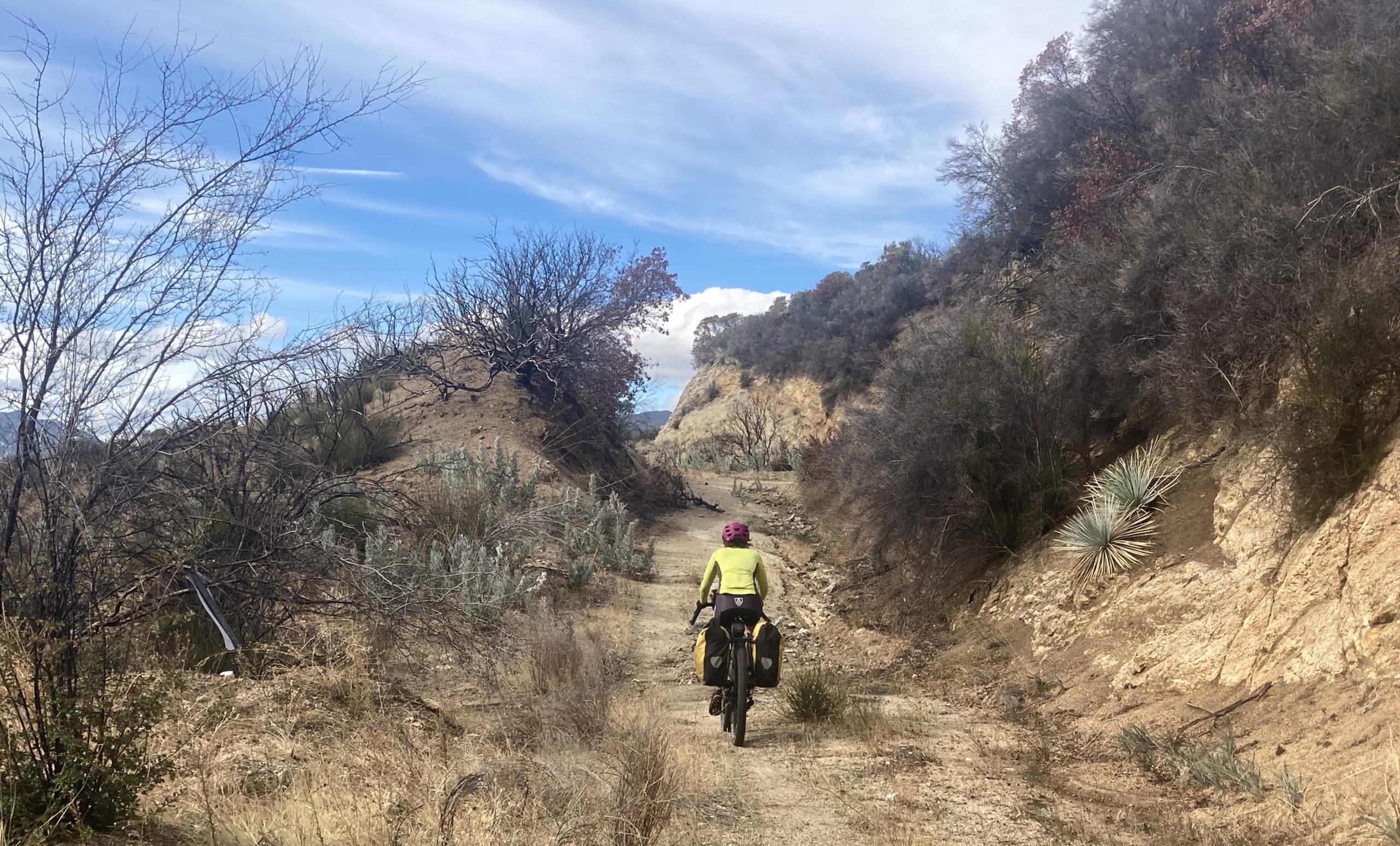
We had spied yet another abandoned/gated forest road on a map, and at the base of what we could see was another biggish climb we saw a group of folks heading out for a hike. As always, I begged some water – and a coupla beers – and asked what they were up to, and it turns out they were geologists going to study a “world famous” (if you’re a geologist) feature not far away that at one point was 5000 feet under the surface of the ocean! He gave me a brief explanation of how that happened that I forgot almost immediately, and in anticiipation of that I asked him if we could easily see this feature? “Oh, you can’t miss it!” but…..somehow we did. I guess I need a geologist’s eye. And in annals of small worldism, he was a professor at NAU and was pals with the esteemed Joe Hazel, who was my Grand Canyon/Paria River sediment transport export I referenced in the August account of our Paria river adventure paddle.

We had identified that closed road/trail via the Ride with GPS app, and we were surprised to see an old guy trundling down the hill towards us on a gravel bike. He was a bit of a character who had been out since the wee hours of the morning:

and he was happy that he saw us when he did because a few more minutes up the road we found a jersey, hat, and gloves lying in the trail, but due to a few big switchbacks I could holler down to him about his gear.
The riding was great:

Due to the ruggedness and vertical of that climb we ended that day quite a bit short of where we anticipated we’d be, but there was a nice campground with water that worked. I asked the campground host where the nearest place was where we could get some snack food for the next day and it was pretty far out of the way, but she said “you know, the firemen working that fire last year had these energy bars and we have a few left; you want those?” Sure, why not? She came back a little later with a grocery bag full of an off-brand protein bar and plopped them down; as much as I wondered how hungry young firefighters couldn’t/wouldn’t finish those off, I agreed to take all 6 pounds-worth. Some weeks later we finally and ceremoniously gagged down the last one….

Gradually we worked our way back into civilization on mostly quiet, serpentine, and roly roads, meeting a few characters along the way:, and ultimately ended up at the Laguna Seca car raceway,

where in the midst of lots of suburbia I knew there was a campground, but just as I was about to throw down the extraordinary expense for a site the host said “oh, by the way, our water is toxic.” Huh? what about the drinking fountains and such at the big raceway? All toxic. Wow, okay, we’ll figure out something else. Amazingly, just past Laguna Seca is yet another army base – Fort Ord – but this one has been abandoned and now is just open land riddled with trails. We ducked out into a very average neighborhood and begged some water, then sidled back into the “fort” for a nice night of camping.
We rolled back through the Salinas valley on the other side of the valley, amazed at the seemingly effortless transition of clearly-wealthy California suburbs and working class towns that seemed plucked straight out of Mexico, complete with a far more lively vibe than the relatively sterile ‘burbs with their plethora of fenced/gated, too-big homes and too many Teslas.
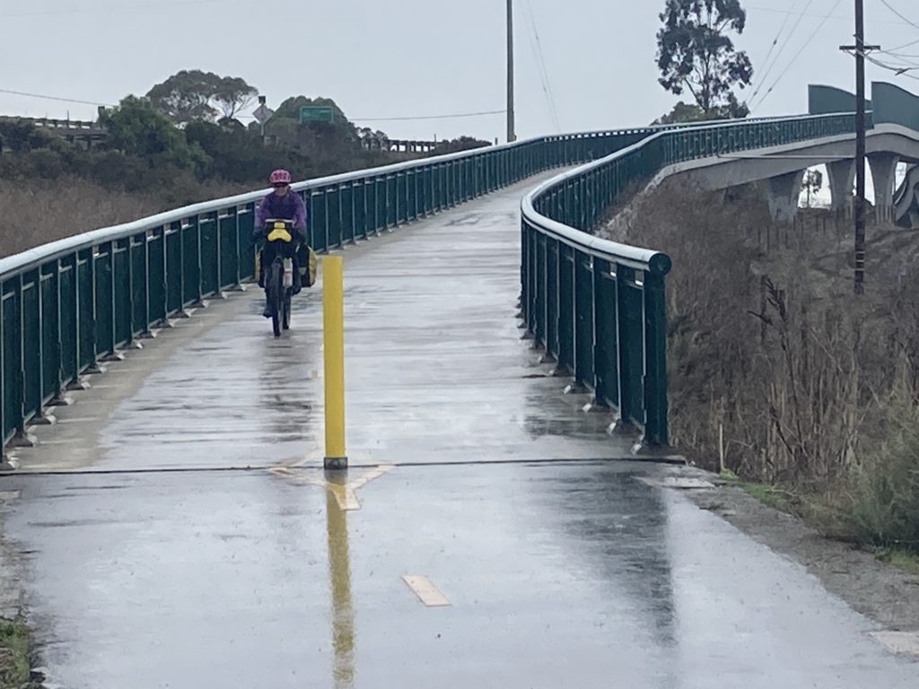
We rode through Santa Cruz heading for what sounded like some more amazing deep redwood forest camping, but as the refreshing mist gradually evolved to an impressive rain and we got closer to the latest CA strip mall town of Scott’s Valley, “camping” gave way to a Best Western and a hot bowl of real Ramen, and the folks cleaning the room the next day earned their tip from all the drippage from our bikes and clothes that we left behind.

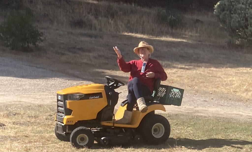
While the Santa Cruz mountains aren’t big at a couple thousand feet high, they are surprisingly long, and after climbing up to the ridge from Scott’s Valley we had well over 30 miles of undulating, twisty Skyline Drive that took us to the final descent back down to Woodside. We stopped at the Woodside Market for a snack before we returned to Ashely’s cousin’s place so we wouldn’t appear as ravenous as we felt, and saw a great example of indeed the socio-economic differences and perspectives in California:

As expected, the Big Sur coast and the adjacent mountains provided yet another amazing venue for a big bike ride. Next up, the hot hot SoCal Desert Ramble!
