The Marsh Creek start to floating the Middle Fork of the Salmon has never had much appeal for me; its reputation is that of a swift creek with lots of wood (ie trees that have fallen across the entire span of the river) and few eddies to suss out what’s downstream and escape the river to avoid said wood. Rafts in particular have a tough go, since rafts aren’t as nimble as kayaks/pack rafts and thus have a more difficult time catching smaller eddies to avoid hazards looming downstream, and there has been at least one fatality on Marsh Creek. It is typically used early season when the road to the typical Boundary Creek put in is still deep in snow and typically has tree blowdowns of its own that need to be cleared. And very early season – like in mid-April, when we were there – there are always snow bridges across the river, which almost as unappealing as logs.
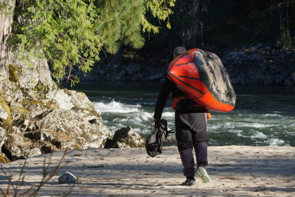
But with a hundred yard hike to the put in from Highway 20 and a floatable flow with our nimble little boats Marsh Creek was our option, and down we went. Sure enough, there was a snowbridge or two, and plenty of riverwide logs, but with cautious paddling and relatively slow moving water we were able to mostly float down the creek with only the occasional lugging of our heavy boats along the bank (partly enabled by pretty draggable snow!). A few miles downstream we arrived at the confluence of Marsh Creek with Bear Camp Creek, and it’s at this point that it formally becomes the Middle Fork of the Salmon. Shortly downstream is Dagger Falls, which we portaged, again with the help of the snow that still lay on the south (ie north-facing) bank.
Shortly after this the snow dissipated on both banks (for what it’s worth, I’ve long pondered a MFS trip with skis to actually ski the slide paths and large burned areas, and a few years ago some folks did it, and while it may be possible in March, in this average snowpack year it was not really viable in mid-April).
Weatherman Larry Dunn had told us in a message that our trip was going to have unusually-cold but clear weather, and our first couple of days paddling the Middle Fork were a far cry from the warm July days that bathe the people who typically float the river. On our first morning on the river I got splashed by a wave and then realized that a few minutes later my pfd was armored by a nice glaze of ice, which with a bit of manly chest thumping shattered and fell on my skirt. But we needed to make time on this leg of the journey, and everyone was pretty incentivized to keep stroking downriver to keep warm, and the thought of the Middle Fork’s famous hot springs was comforting. We camped at Sheepeater hot springs on our first night on the Middle Fork, which was great, and looked forward to having a mid-day warmup session at the glorious Sunflower Flat hot springs with its signature shower falling into the river. However, as we approached Sunflower we were quite surprised to see another group on the water ahead of us. A group from BYU, they told us that they’d been doing the MF in mid-April for 20 years (fly in to the Indian Creek airstrip) and we were the first group they’d ever seen….and we happened to connect them right at the hot spring. We were about 1 minute too late, and without a word between any of us we just paddled right on by that nice steamy bath!
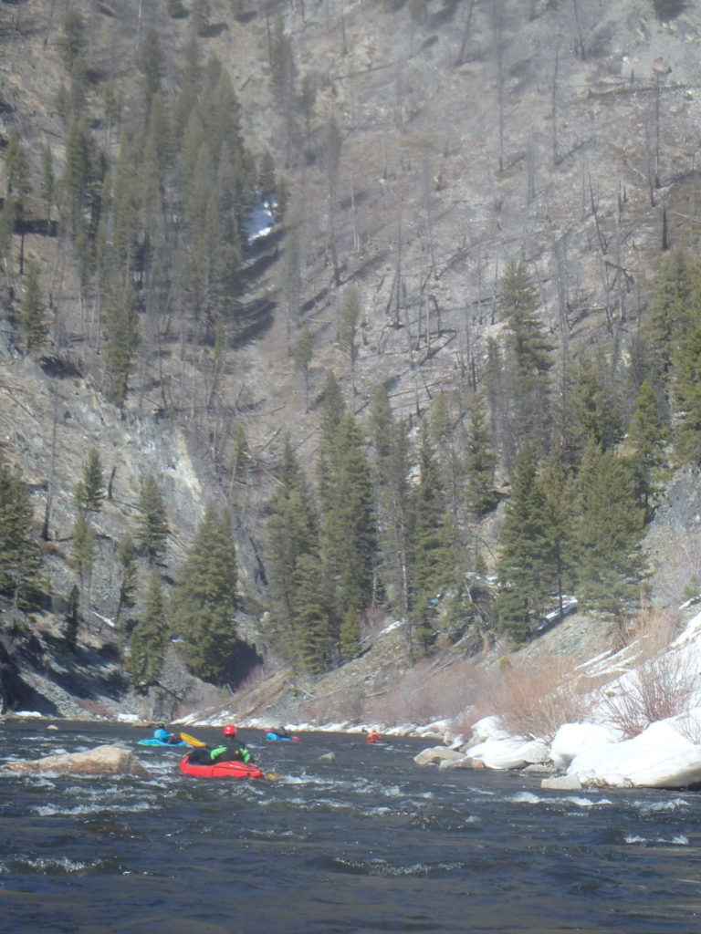
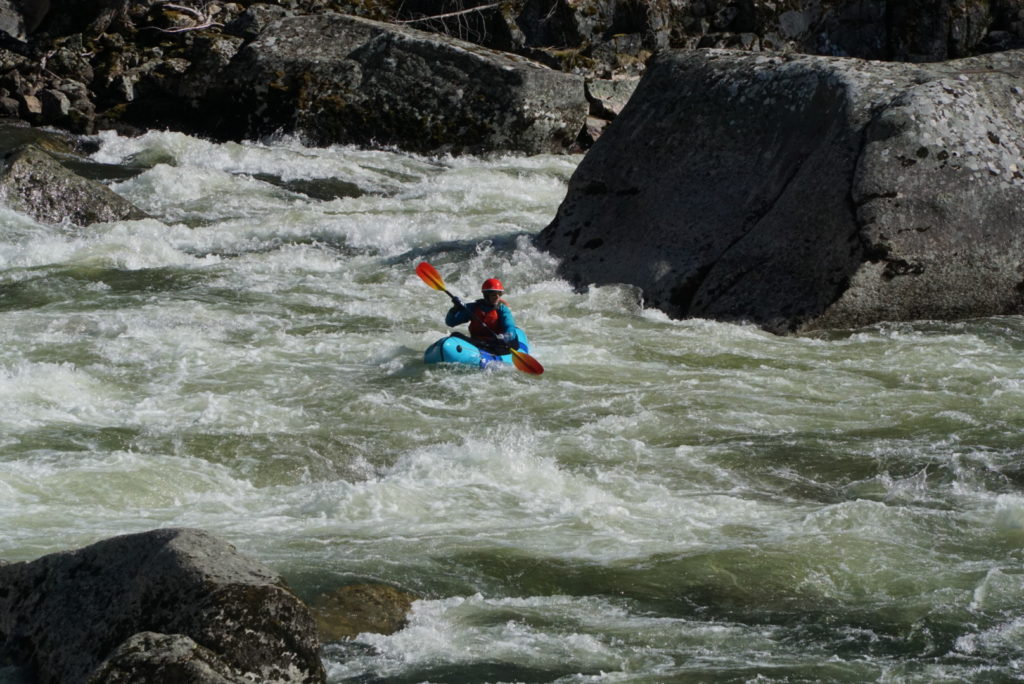
The Middle Fork leg of our trip went by uneventfully, as expected; it was quite low and the rapids didn’t the punch that they would in a month, but we relished being (almost!) the only folks on the river (we did see a big trail crew at work down low in the canyon, and a couple of rafts were brought down to resupply them).
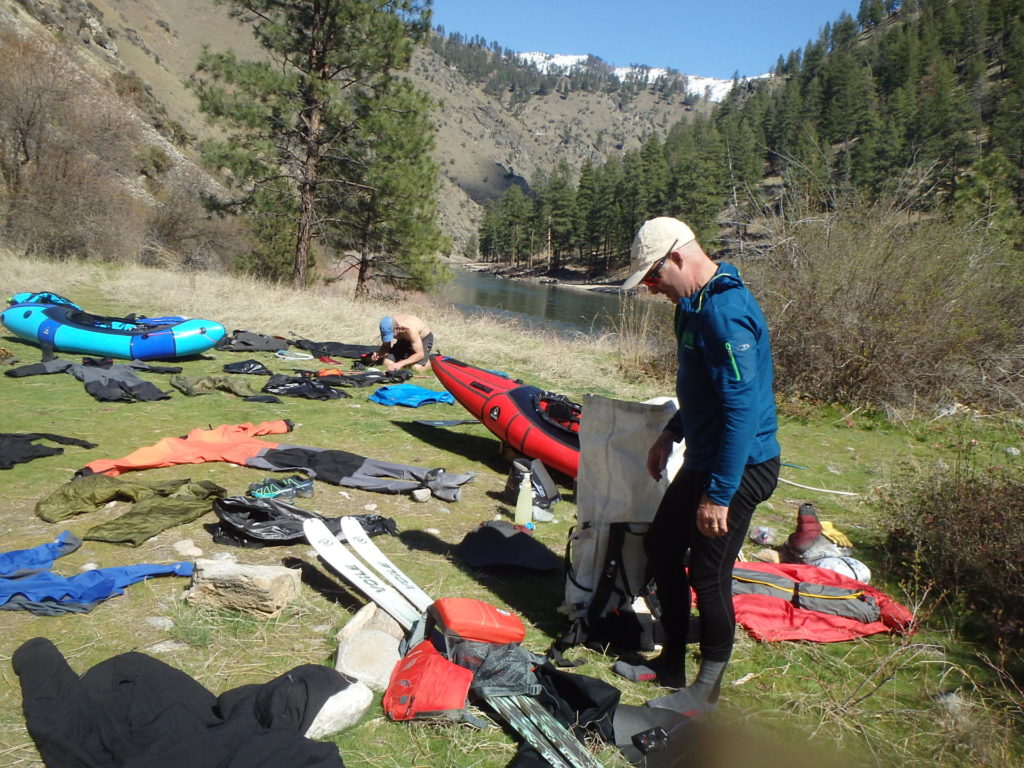
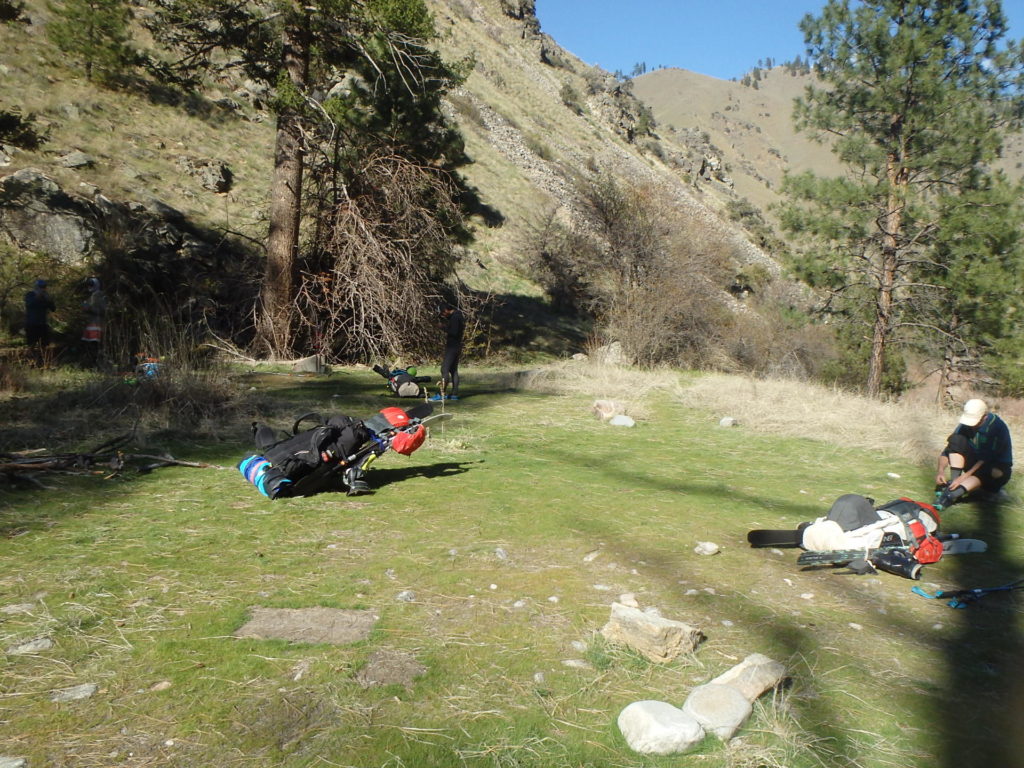
At the confluence with the Main Salmon we stashed a bit of our superfluous gear (and our shit containers, in keeping with the MFS regs) for the magnanimous team member Jesse to grab later in anticipation of the next leg that was promised to be the most challenging.
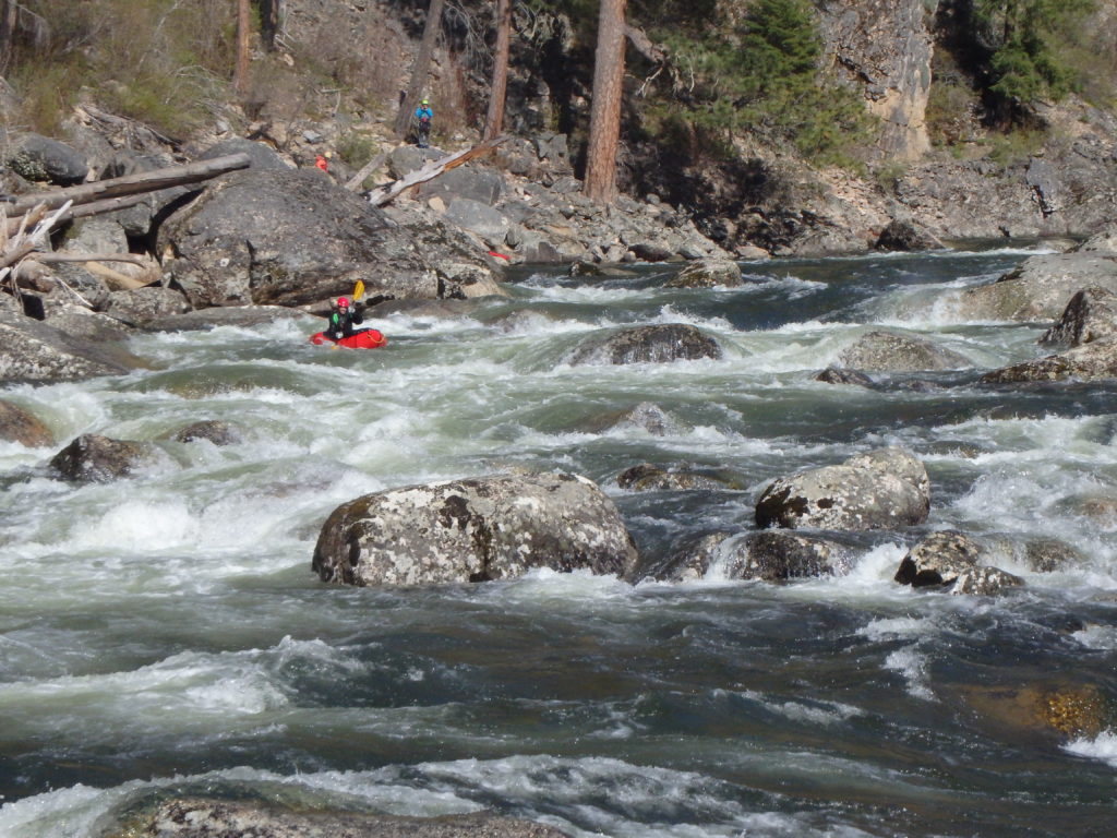
The first major side creek coming into the Main Salmon below the typical Corn Creek put in is Horse Canyon, and a couple of miles up Horse is its own tributary Pinto Creek, that has an adjacent trail that switches back and forth into the high country that lies between the Salmon and the Selway. As I have seen in the past, doing a bit of research on trails in Idaho is worthy; “unmaintained” trails are typically totally neglected trails being quickly reclaimed by mother nature under gigantic matchstick piles of blown down logs. However, the nice folks at the Challis Forest Service ranger station – presumably with not much to do in late March? – had spent a fair bit of time looking into this after our query, and they confirmed that the Pinto Creek trail was good to go; at least it was up to the snowline, which was most important to us.
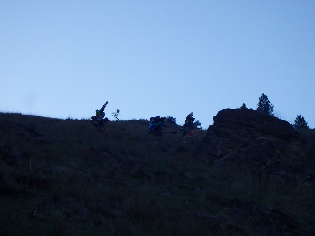
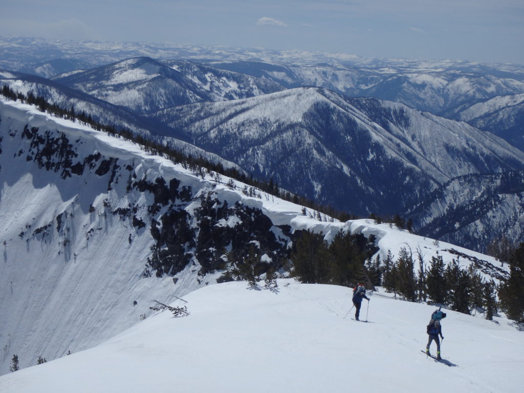
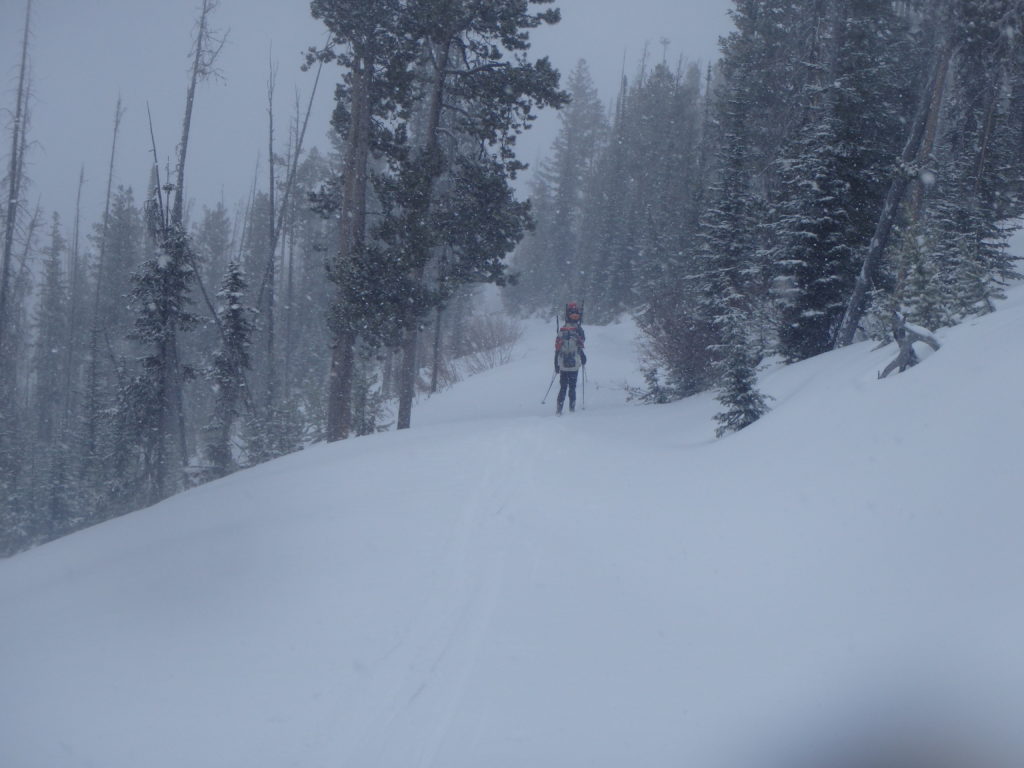
The Salmon Mountains were our biggest concern of the trip, with the 5-6000 foot climb off the river being the least of our worries; it was very remote (especially this time of year) and sees little traffic any time, and though the high terrain was less rugged than the Sawtooths, poor conditions could bog us down badly with our packs laden with boats and enough food for both the traverse and the float down the Selway. However, Weatherman Larry had continued to forecast nice days and cold clear nights, and we started the long grind up towards the snowline with some optimism that we might just be able to pull this trip off after all.
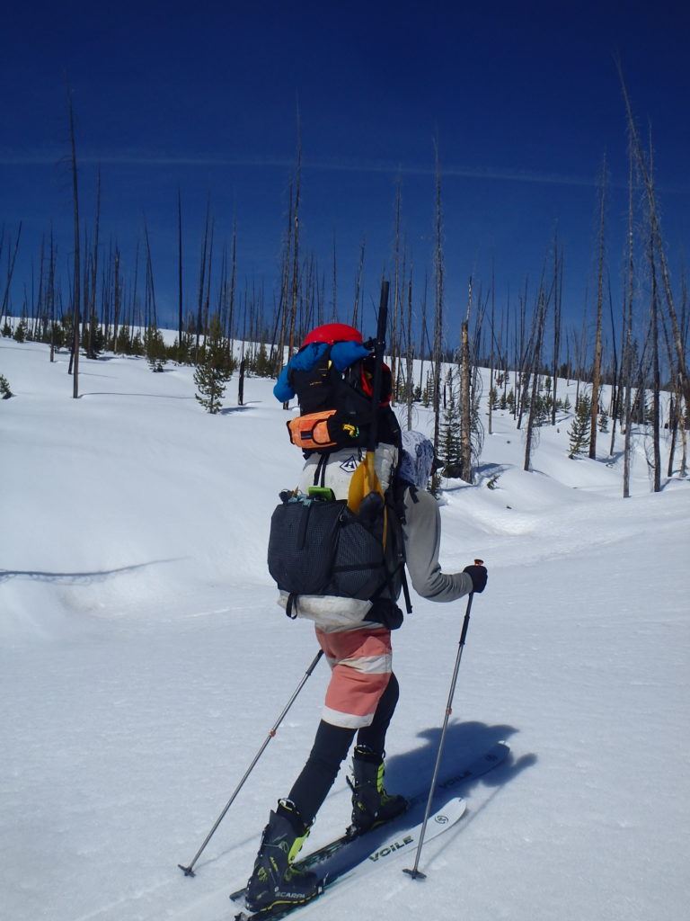
We hit the snowline at about 6000 feet with fabulous views down into the Salmon River canyon, and were keen to get the ski, skin, and boot weight off our shoulders and onto our feet. Of course, being back on the snow and up high meant that we were again dealing with the challenges of camping in mushy snow and cold nighttime/morning temps, but now at least we knew what to expect, even as we went a little slower with the weight of the boats and associated gear creating somewhat towering packs:
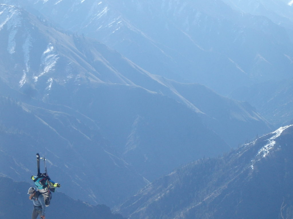
Once we got up high the scale of our trip and the Great Green Swath loomed large: we could see the Seven Devil mountains above the Snake River way to the west, the Pioneer mountains off to the East, and by this time we were so far north of the Sawtooths that we couldn’t even see them in the distance. But we kept the skis pointing north and trudged up and down along a ridge that topped out at the 9000’ Salmon mountain (ironically, it’s much closer to the Selway than to the Salmon) where there’s an old fire lookout; understandable due to its vast perspective:
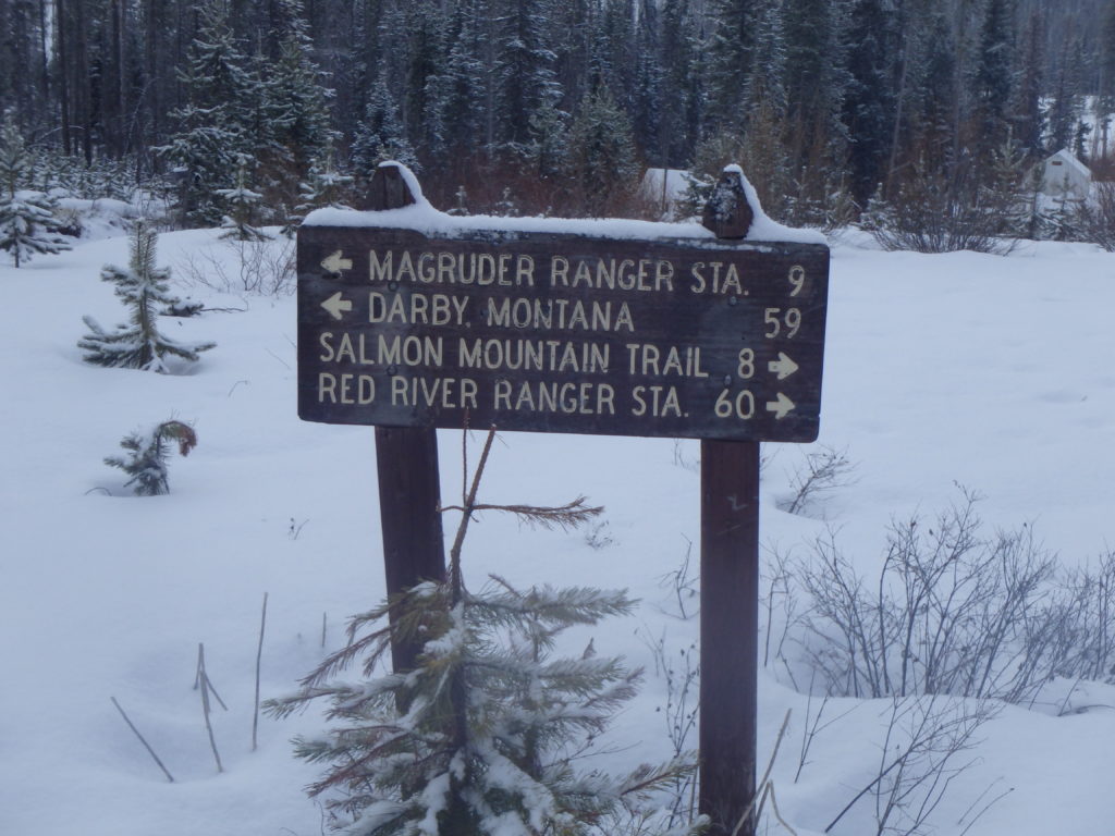
From here we were somewhat “home free”, despite still having several days to go in our journey. Our next marker was the Magruder Corridor; a route that I have been eyeing for years as a potential bike tour because it is a grandfathered-in corridor that splits the Selway-Bitterroot Wilderness from the Frank Church River Of No Return Wilderness; together they equal 3.6 million acres; by far the biggest wilderness in the lower 48 states (and no doubt comparable to some small eastern state, which I always find a curious analogy; who really knows – or cares – how big Delaware or Connecticut are, so why are western land entities always compared to them?). As we skied down off Salmon Peak to the north (by this time the powder was so old that it…..wasn’t powder) we almost missed the road, since it was still several feet deep in snow. But tracks from our fellow travelers showed us the way:
And we were able to follow the corridor of a gap between burned out trees to a nice camp at Observation Point, which looked down into one of the tributaries of the Selway.

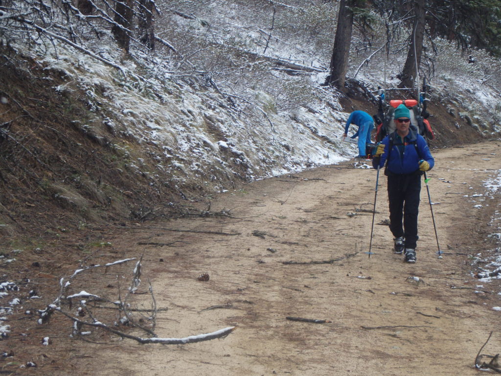
We awoke in the morning to the gentle patter of snow on our tents, and scrambled to break camp efficiently enough to try to keep most of our stuff dry, since we knew we’d be camping next to the river that night night. Shuffling down a road with a few inches of snow on it was a bit frustrating; the road had a nice mellow grade to it (promising for future bike tours) and the snow got stickier on our skis as we lost elevation, and of course for a while we played the game of trying to keep our skis on through the bare patches:
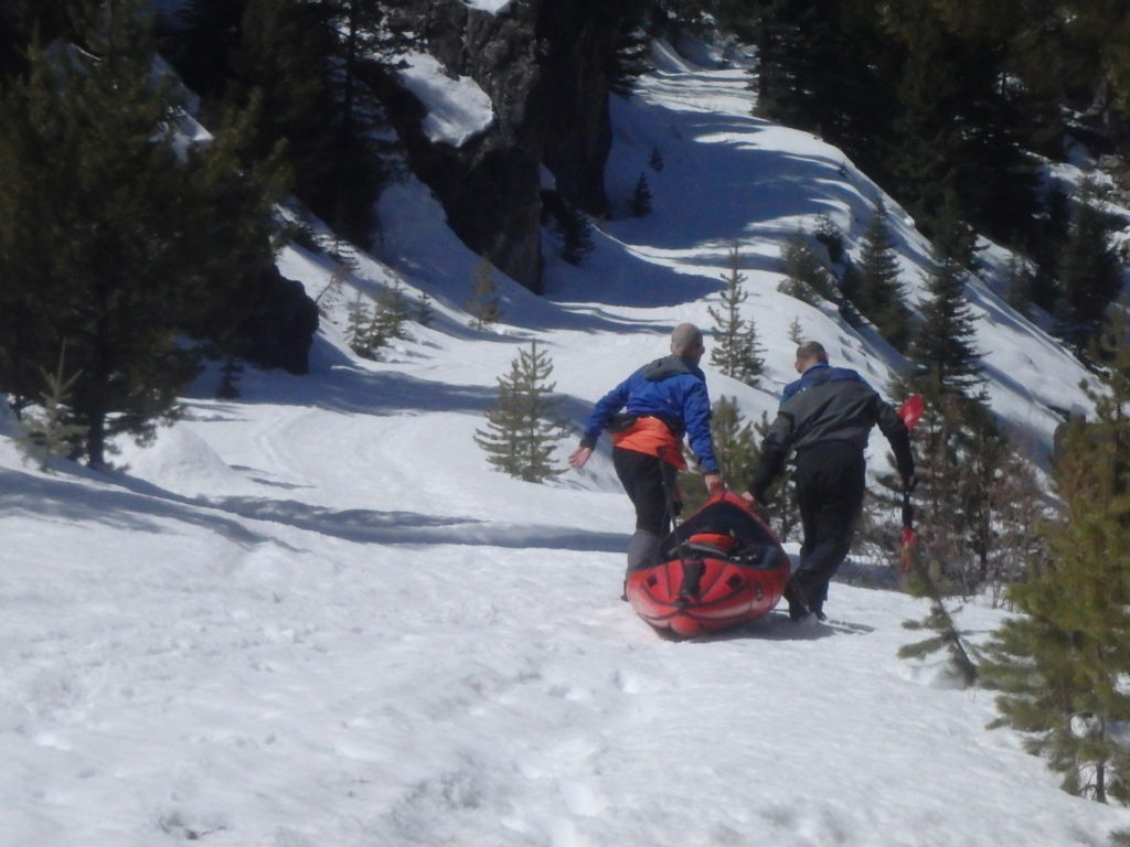
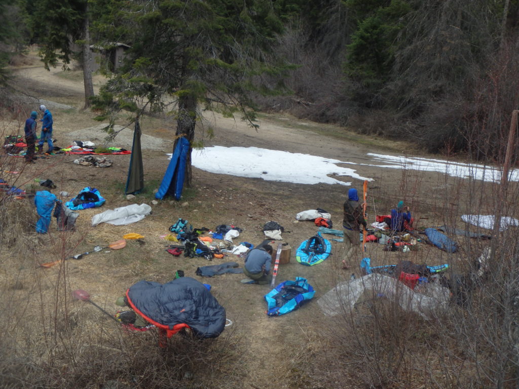
Until finally we got our shoes out and walked the final couple of miles to the river.
I walked across the bridge over the river and much to my surprise, there was some other dude there, unrolling a packraft with skis lying nearby! “Holy shit! This ski rafting thing is taking the world by storm! Ski rafters are everywhere!”
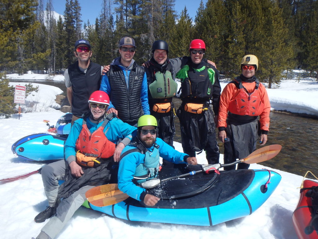
It turns out that Jeff had secretly been communicating via inReach with his new southern pal Will, who had left Nasheville a few days before, stopped at Alpacka’s HQ in Mancos, CO to pick up a boat, stopped in Park City to skin a lap or two at the closed resort to figure out the whole skiing thing (never having skied before, but having recently bought a whole ski getup), driven to Darby, MT, and starting at 3pm the day prior had walked and skied the 25ish miles in to meet us! And was a great addition to our crew.
Our cold, clear weather continued:
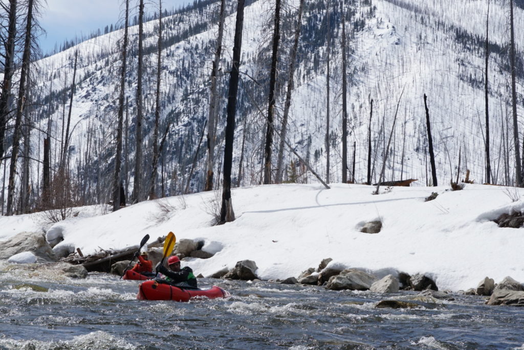
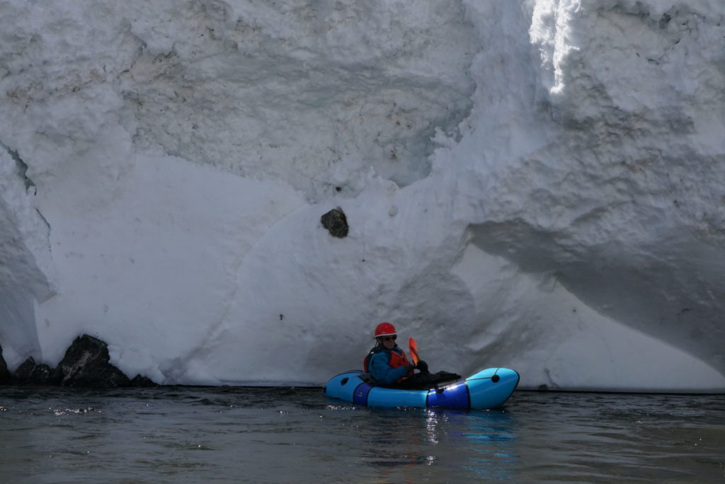
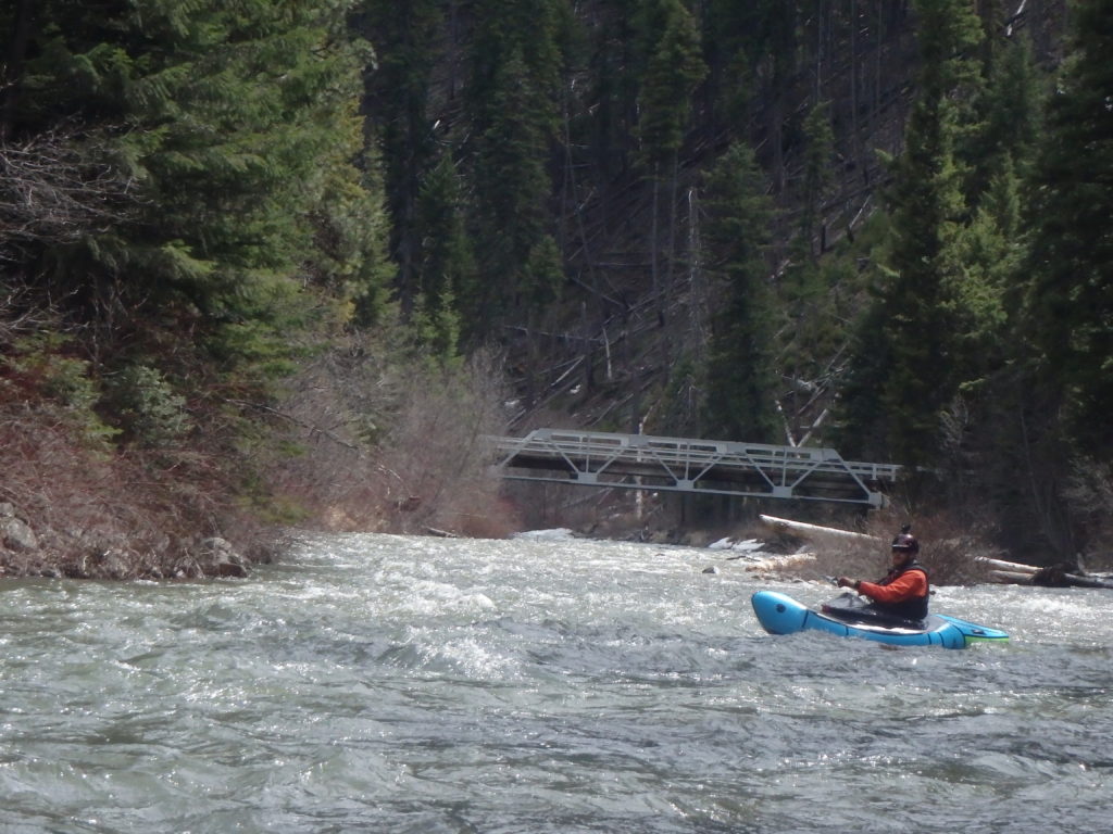
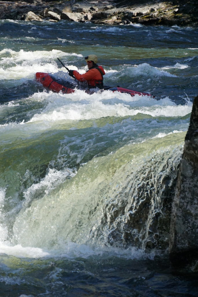
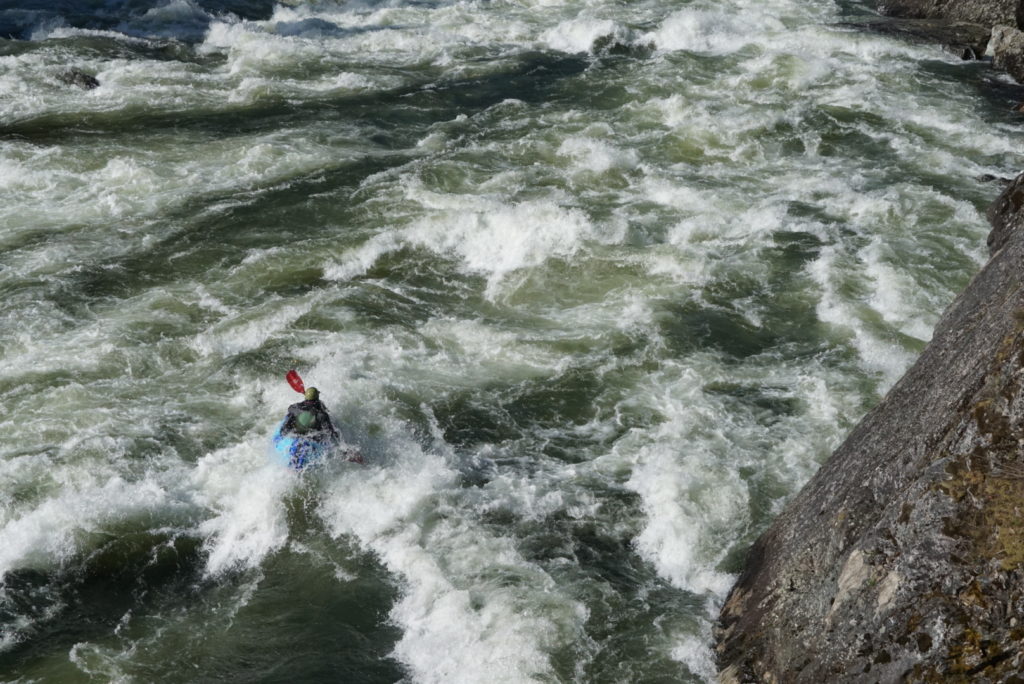
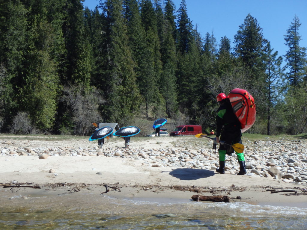
And the Selway was great. I knew that the Middle Fork would be on the low side of flow since the Sawtooths are high and cold and don’t typically melt out until May, and I assumed that the Selway was the same. But Jeff pointed out to me that the typical mid-April flow on the Selway was in the 6-7000 cfs range, which is not high, but is plenty of water and is kind of the beginning of “pushy” flows. The last time I’d paddled the Selway it was post-permit and bone-low, and the Selway – more than most – has huge changes in character with the flows that vary from nearly-nothing to huge in most years. We had a blast crashing through the big water, and as a result all of us swam; me as a result of prematurely celebrating an unplanned and exhilarating surf in the middle of Wolf Creek, and a couple of others who swam with not-quite closed dry suit pee zippers!
A few nice days of floating brought us to a quick portage of Selway Falls and a float out to near where the Selway meets the Lochsa river and becomes the Clearwater.
All told the trip was a bit over 300 miles, with about two-thirds of it on river and the rest on foot/skis (there was actually less than 10 miles of non-ski hiking). Again, huge kudos to Jeff Creamer for coming up with a very elegant way to slither our way through and across the Great Green Swath using three of the West’s great rivers, and thanks to Jesse for paying almost as close attention to the maps to confirm that we were good to go when indeed we needed to be “good to go”. I am not sure that I will give this trip another go because -according to Weatherman Larry – we had a literally unprecedented streak of fine weather; it was the driest April in recent memory in the entire Northwest and Idaho, and it wouldn’t take much in the way of poor weather to make that trip much more challenging; as it was, we finished pretty much a day earlier than we anticipated and most of us ate our last nibbles of food over the last few river miles.
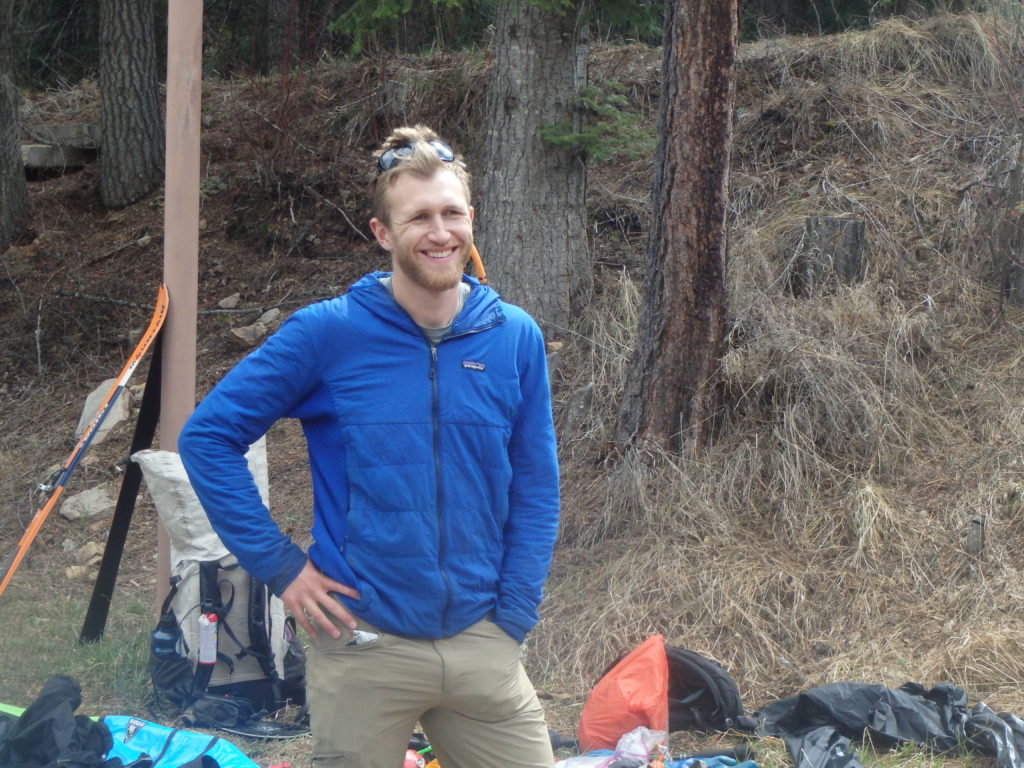
And again, thanks to Mike, Bryan, Jeff, Will, Allen, Brian, and Jesse for being great pards; two weeks is a long time to spend with folks in challenging terrain and conditions on a gear-intensive trip covering a lot of ground and a trudging up a lot of vertical, and these guys are all super solid athletes and expeditioners. Fun!
Additiionally, the ever-so-talented Mike Curiak did his own post about a month ago and I purposely didn’t look at it ‘til today; partly because I didn’t want his writing to affect mine, but also because I knew that between his professional-level photography, video shooting/editing skills, and soulful, thoughtful, and concise writing it would discourage me from writing my own account and sharing my own lame pics! So here is Mike’s account, which is as brilliant as I anticipated: https://mikesee.exposure.co/the-sawsalway
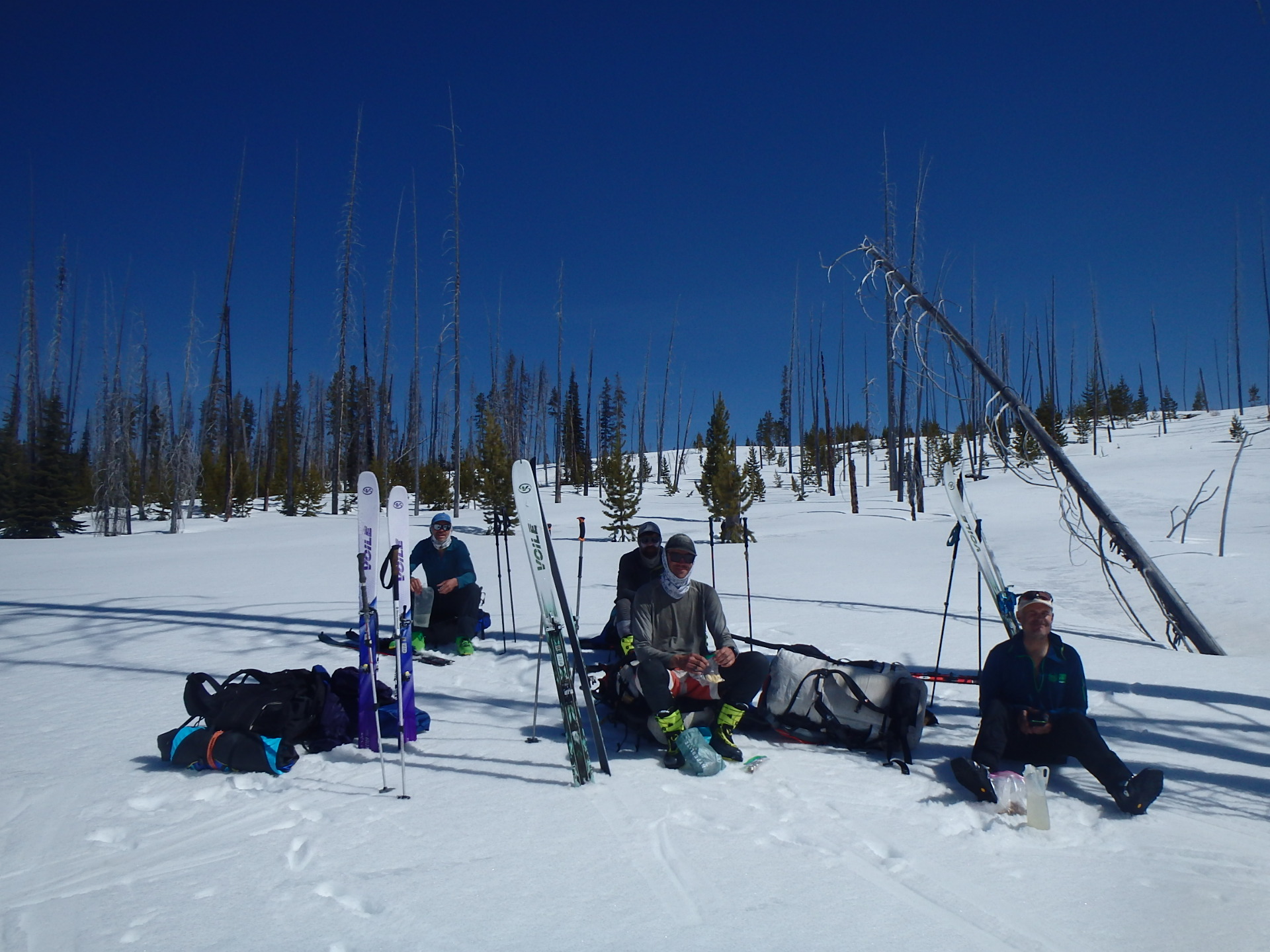
Team Voile!